
Route Downloads
It’s in the nature of a new and evolving route like the Transcaucasian Trail to change on a regular basis. Because of this, we want to ensure that thru-hikers are kept fully up-to-date with any improvements, reroutes, or closures along the trail.
We therefore kindly ask that you submit your email address, using the secure form below, in order to download the latest route files.
Once you’ve submitted the form, we will send you an email with the link to an interactive map of the trail. From there, you can download the latest version of the route in GPX or KML formats.
Whenever a major update is made to the route, we’ll send a notification to your registered email address to let you know and to supply you with links to the latest version. Your data will be used for no purpose other than this.
We take our trail users’ privacy seriously. So, if you prefer, you may unsubscribe from all future communications, either as soon as you’ve downloaded the route files, or at any time thereafter by using the link in each email you’ll receive after submitting this form.
Thank you for your understanding – and we look forward to seeing you on the trail!
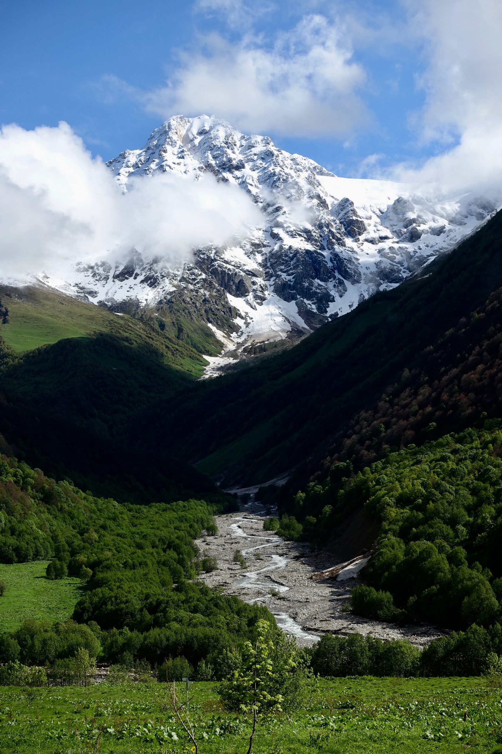
Become one of the first thru-hikers on the full Transcaucasian Trail route through Armenia & Georgia
Got more questions? Excited about the route and want advice during your planning process? We’re seeking intrepid, experienced hikers to be some of the earliest thru-hikers on the brand-new 1,500km North-South Transcaucasian Trail route through Armenia and Georgia. In 2023, we’ll be running the second year of the TCT Trailblazers, a new hiker membership program to support them in the planning process.
You’ll have the privilege of being one of the first hikers on this new long-distance trail, and you’ll have the opportunity to help shape its future along the way.
Important Disclaimer
The TCTA strives to provide accurate, current information as to trail conditions and the trail route. However, actual trail conditions may be different, and such information may not be accurate or complete. Trail users are urged to consider all the information available from other sources and to heed local advice when available. Trail users are ultimately responsible for all decisions as to the trail routes, trail conditions, weather, and safety.
In addition to the hazards posed by steep terrain and mountain weather, hikers should be prepared for difficult route-finding and challenging trail conditions, the possibility of washed-out bridges and dangerous river crossings in high water, aggressive dogs guarding sheep and cattle, giant hogweed, and frequent summer thunderstorms with extremely intensive periods of lightning. Access to emergency medical care and search and rescue is not always available.
Menu
Route Downloads
Recommended Apps
You can also find this trail on the following hiking and navigation platforms:

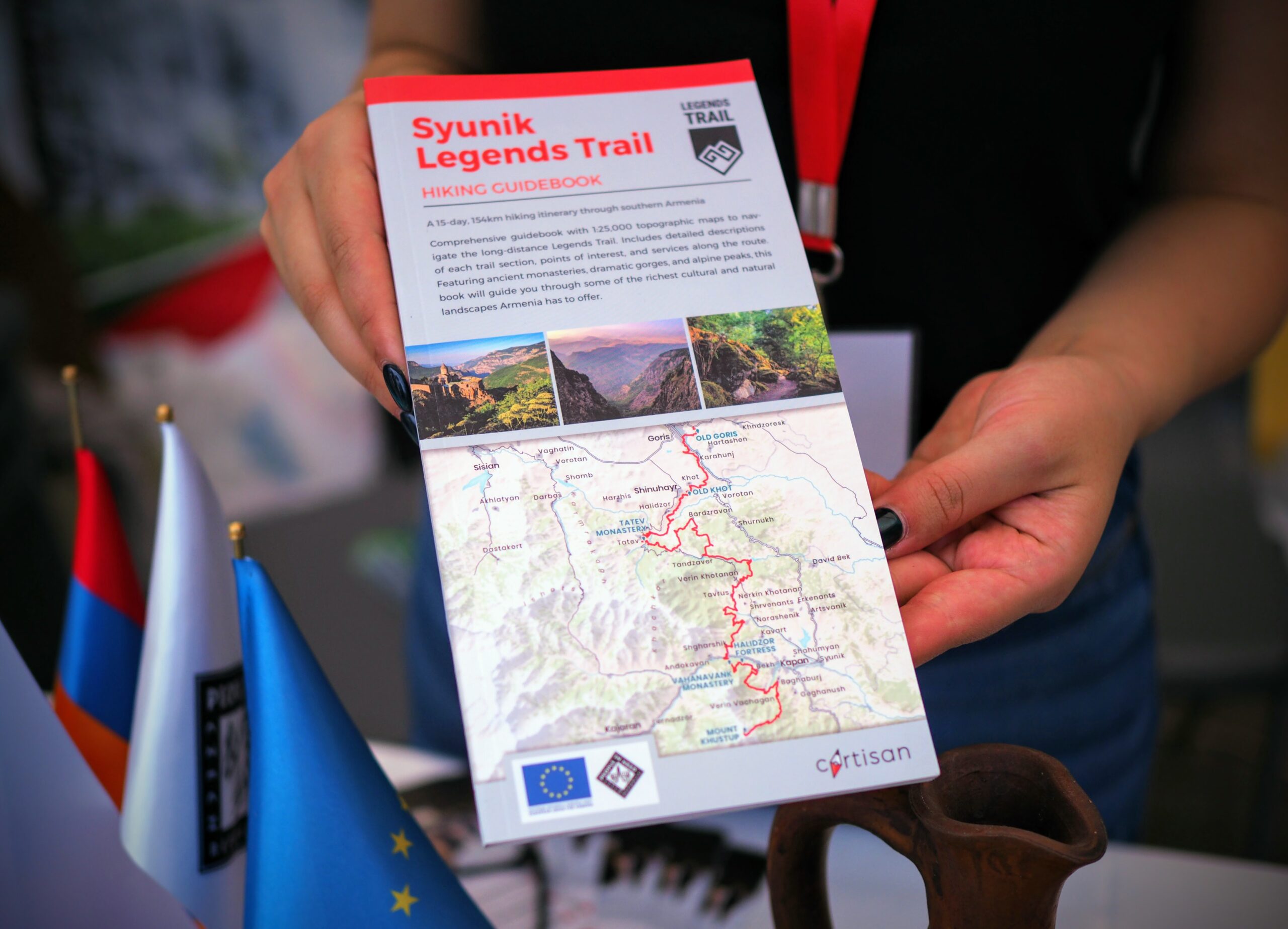
Printed Resources
Browse & buy official topo maps & guidebooks for sections of the Transcaucasian Trail in Armenia from our partners at Cartisan.org.
Partners & Donors
This national stage of the Transcaucasian Trail was developed between 2016–2022 by the TCT Armenia NGO with the support and cooperation of many partners and donors, most notably the UK’s Royal Geographical Society (with IBG) and Land Rover, Caucasus Nature Fund, HIKEArmenia, Trails For Change, and People In Need Armenia (in partnership with ARK Armenia and with funding from the European Union), as well as many individual donors to the Transcaucasian Trail Association. Click the logos below to find out more.
To become a TCTA member and support our ongoing efforts to develop and improve the Transcaucasian Trail, join here.
