
TCT Trailblazers: Our Thru-Hiker Support Program
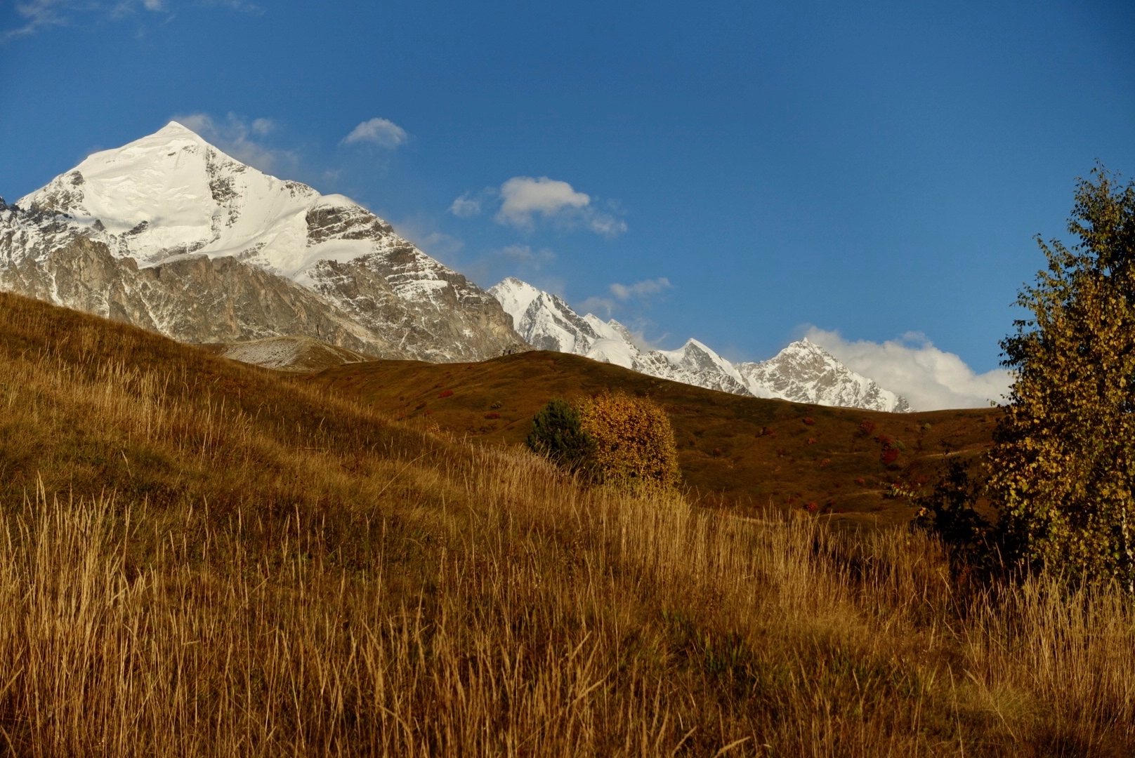
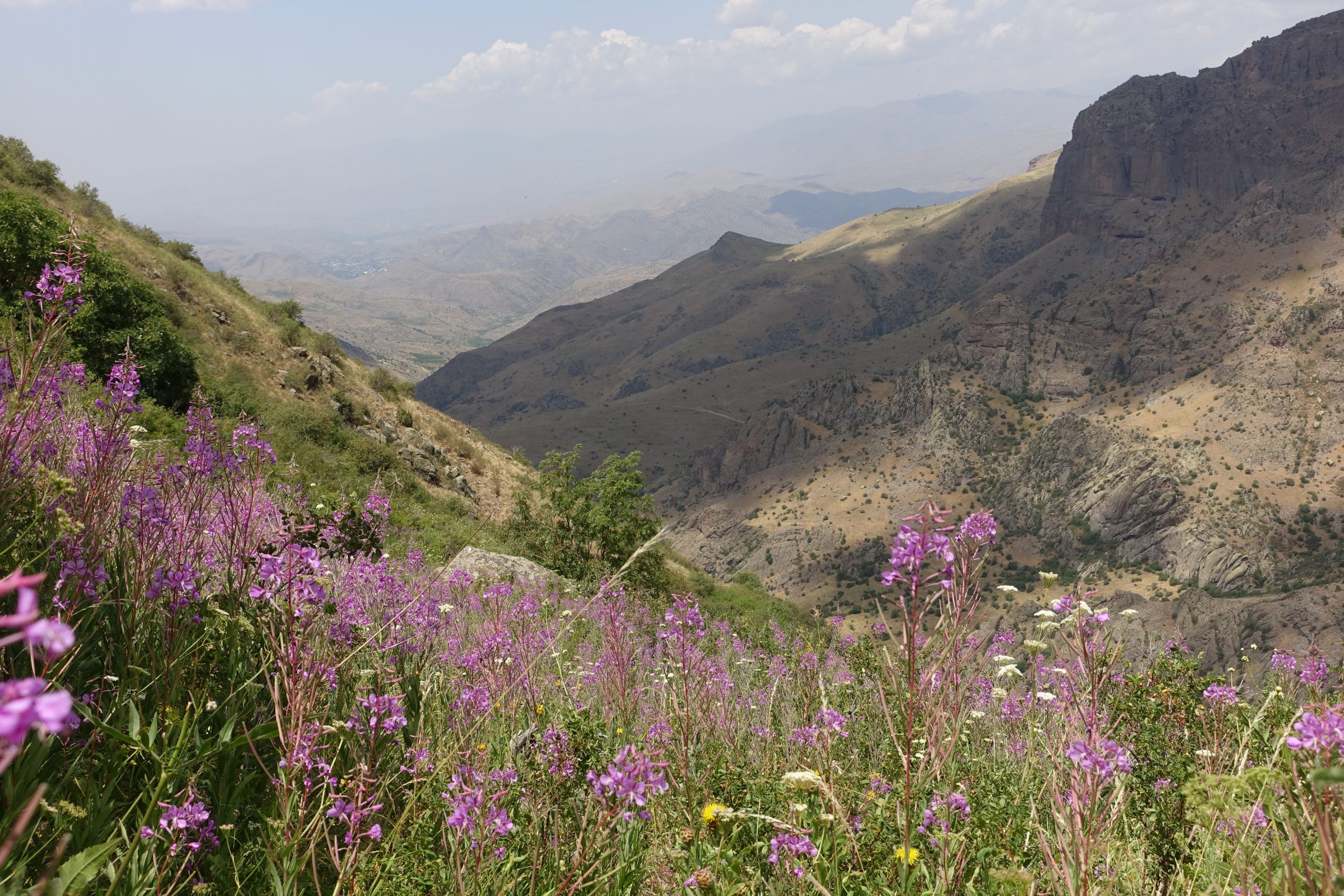
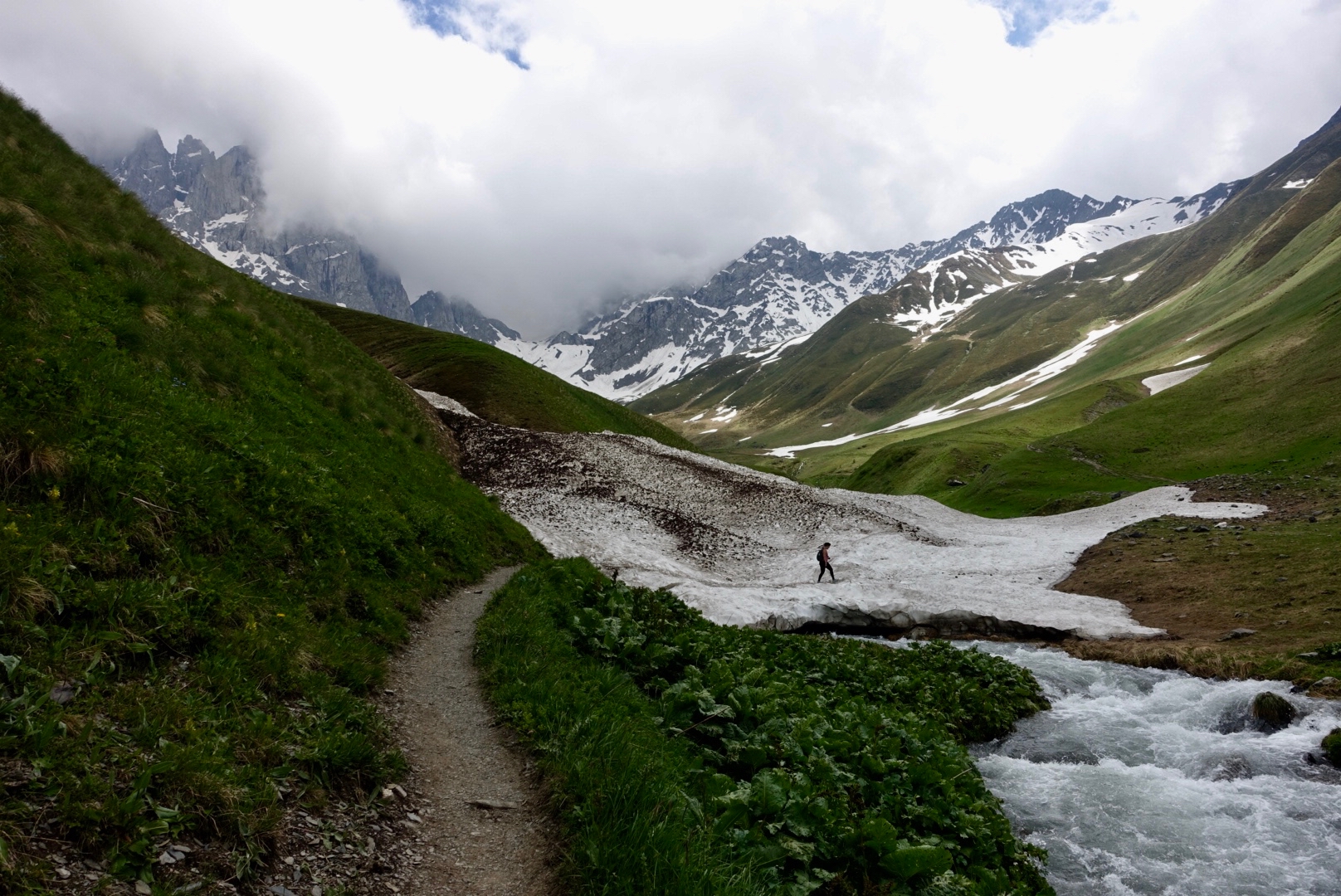
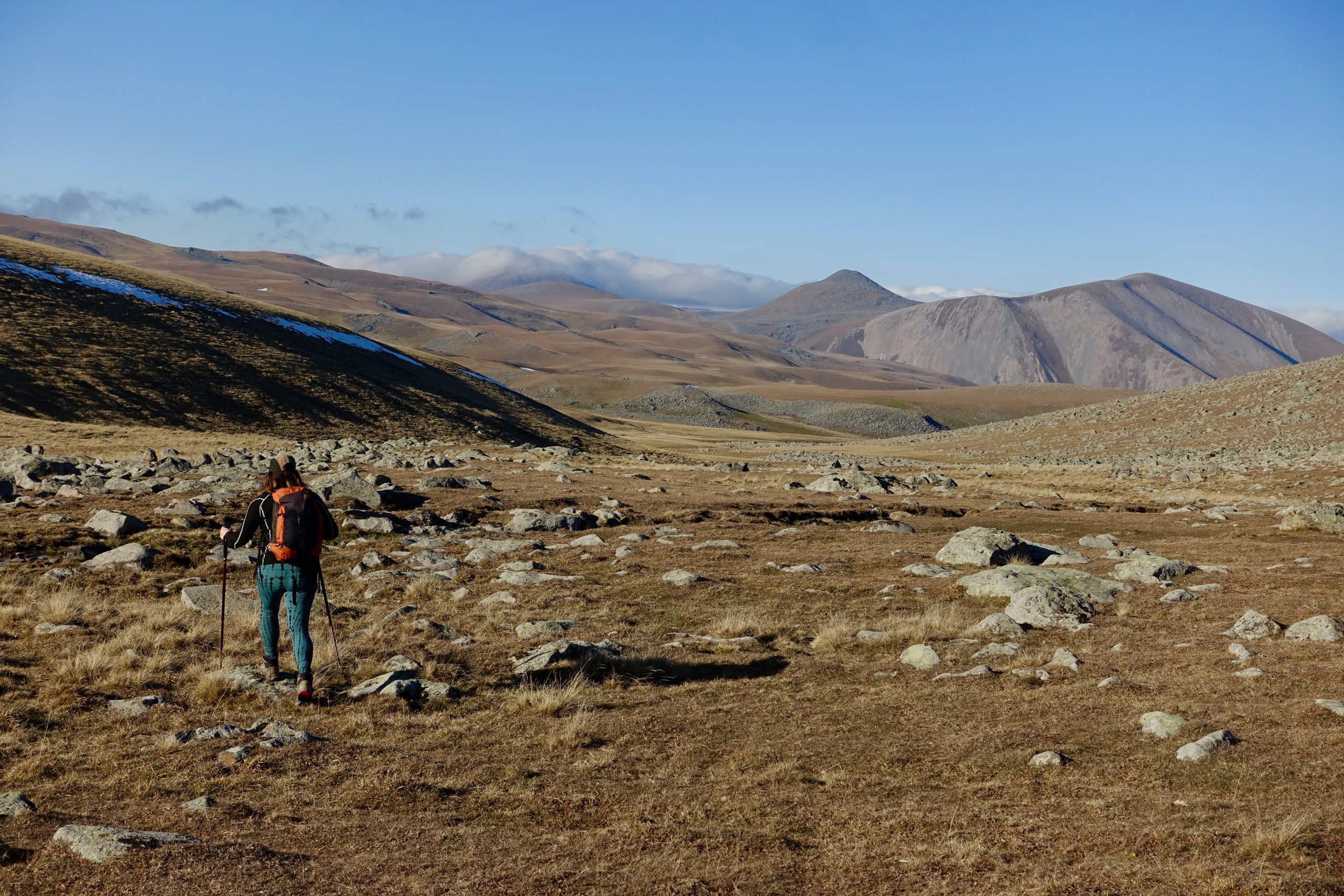
Calling all intrepid, experienced hikers to thru-hike the Transcaucasian Trail across Armenia and Georgia and experience the best scenery the Caucasus have to offer!
If thru-hiking the TCT sounds like the perfect challenge, we’re excited to introduce you to the TCT Trailblazers Program, our thru-hiker support program designed to help you get out there and make the most of your trail experience. We’re wildly excited about this route—and, should you embrace the challenge of hiking it, we want to help you have the best experience possible.
In the TCT Trailblazers forum, you’ll be the first to get real-time updates about the route and resources we’ve created to help you plan and successfully complete your hike. Members of the TCT Hikers’ Board — composed of former TCT hikers and volunteers who are intimately familiar with the trail — will be there throughout the spring and summer to provide direct support and advice throughout your planning process, as well as during the hiking season itself. And although you’re unlikely to encounter many fellow hikers on the trail, you won’t be alone: you’ll be joining a vibrant existing community of fellow TCT hikers.
In short, you’ll get all the support we can offer — and you’ll have the opportunity to help shape its future along the way.
How we support TCT hikers
Past thru-hikers have found the Trailblazers program helpful for planning and executing a thru-hike, so we’re continuing to run the TCT Trailblazers as an ongoing program (2026 will be our 5th year!). As the trail continues to grow in length and popularity, we’re eager to support hikers to have the best experience possible.
If you join us, we’ll help get you ready to tackle the TCT by offering:
- A TCT hikers’ community: You’ll get access to our private Slack channel, where hikers can ask questions of each other and members of the TCT Hikers’ Board (who are former TCT hikers themselves), meet potential hiking partners, organize meetups, and share photos and experiences.
- GPX tracks and resources: You’ll receive access to the most up-to-date version of the routes and trail notes, including some preliminary draft versions.
- Support for individual questions: Although the bulk of conversations will happen in the group Slack channel, for personal or individual questions, the Hikers’ Board will also be available through Slack DM.
- Updates throughout the summer: We will keep you posted throughout the summer with updates that could affect your hike, such as route updates, trail closures, and other important information. We’ll also keep you posted on our trail work locations, so you can hopefully meet some crews out in the field!
This route has only become a reality thanks to the community of hikers, donors, partner organizations, and volunteers who have given time and resources to the TCT over the years. If you’re the kind of person who wants to test a rugged new route through the mountains, we’re guessing you’re also the kind of person who also cares about contributing to the trail community. So with that in mind, here’s how we invite you to help shape the TCT’s future:
- Support our work: For all hikers who are able, we ask you to join as a TCTA member. Since we’re a tiny organization, membership contributions and donations are what make it possible for us to dedicate time to provide this level of hiker support, as well as supporting trail building and maintenance to continually improve the trail. We don’t want finances to be a barrier to hiking the trail for anyone, so membership is strongly suggested rather than mandatory. But please do consider honestly whether, if you are taking time off work and coming to a new country to hike, if you can afford to support the work that makes the trail possible.
- Help your fellow hikers: The Slack channel is a great forum to share updates from the trail that can help each other out, such as water sources that may have dried up, good campsites, and other tips. We encourage you to contribute to this community throughout and after your hike.
- Give us feedback: We want to hear your thoughts on the hiking experience! You can help us better prepare future hikers and make changes where needed by letting us know about your experience and what else you think future hikers should know before they attempt the TCT.
- Share your story: We’d love to share your experience of the journey with the TCT audience. Send us your photos, tag us / add us as a collaborator on your social media posts (@transcaucasiantrail on IG), pitch us your blog post ideas, and let us know what other creative ideas you have and how we can help.
- Spread the word: One of the main goals of the trail is to increase awareness of the Caucasus’ rich natural and cultural heritage—and to encourage more people to come explore it responsibly. We hope you’ll fall in love with the region like we have, and help us get the word out to more hikers around the world.
Ready to become a Trailblazer?
First of all: Welcome! We can’t wait to meet you.
Second: Fill out this form. It asks some questions about your past experience. This is purely intended as a way for you to self-assess whether this trail experience will be a good fit and to help you identify ways you could prepare to improve your chances of success. When it comes to preparedness and safety, we’ll provide as much information as we can, but ultimately those assessments are yours to make. Also, there’s a waiver in there. Please don’t sue us.
Third: Once you’ve submitted the form, you’ll get a confirmation email. Follow the links to join the Slack channel and become a TCTA member.
Last: Once you’re in the Slack channel, go ahead and introduce yourself, and start daydreaming about your hike!
If you’re ready to start planning your next big adventure in the Caucasus, register as a TCT Trailblazer.
Frequently Asked Questions
**For questions about thru-hiking the TCT, see our thru-hiking page. For general questions about the TCT, see our FAQ page.
I only want to hike one country / a shorter section / several shorter sections. Can I still join the Trailblazers’ Program?
Yes, you are more than welcome to. While our content and much of the discussion will be focused around people attempting to hike the national sections of Armenia, Georgia, or both, naturally this information will also apply to sections (and everyone can benefit from learning more about trail conditions). If you’re planning to hike on the TCT this year (or later), you are welcome to join.
Can I share the route and/or resources with others?
The Armenia section is public, but due to the still-evolving nature of the Georgia section, we ask you to refrain from sharing the GPX tracks (outside of a safety contact). Please don’t share the file or upload the route onto apps, OpenStreetMap, etc without discussing with us first—this will create a lot of hassle for us when we need to make changes to the evolving route. Please also refrain from sharing other resources specifically available for thru-hikers outside the forum.
Is there a similar level of support available for the East-West route through Georgia and Azerbaijan?
Not yet, as this route is in a much earlier stage of development. However, if you want to hike in eastern Georgia or on the various published sections in Azerbaijan, you are welcome to join the Trailblazers’ Program, and we will offer advice when we can.
Other questions? Get in touch.
