
Route Overview
The Armenian National Stage of the Transcaucasian Trail: Route Overview
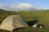
The 2024 TCT route across Armenia traverses 819 kilometers (509 miles) of wildly diverse terrain between Armenia’s northern border at Lake Arpi and its southern border at Meghri. The route takes hikers through red desert canyons, treeless steppe, lush green hills, dramatic cliffs, high-altitude volcanic plateaus, and just about everything in between.
The route is also a journey through the region’s history: it passes prehistoric archaeological sites, ancient monasteries tucked deep into forests and canyons, Silk Road caravanserais, and the sanatoriums and monuments that serve as relics of the Soviet era.
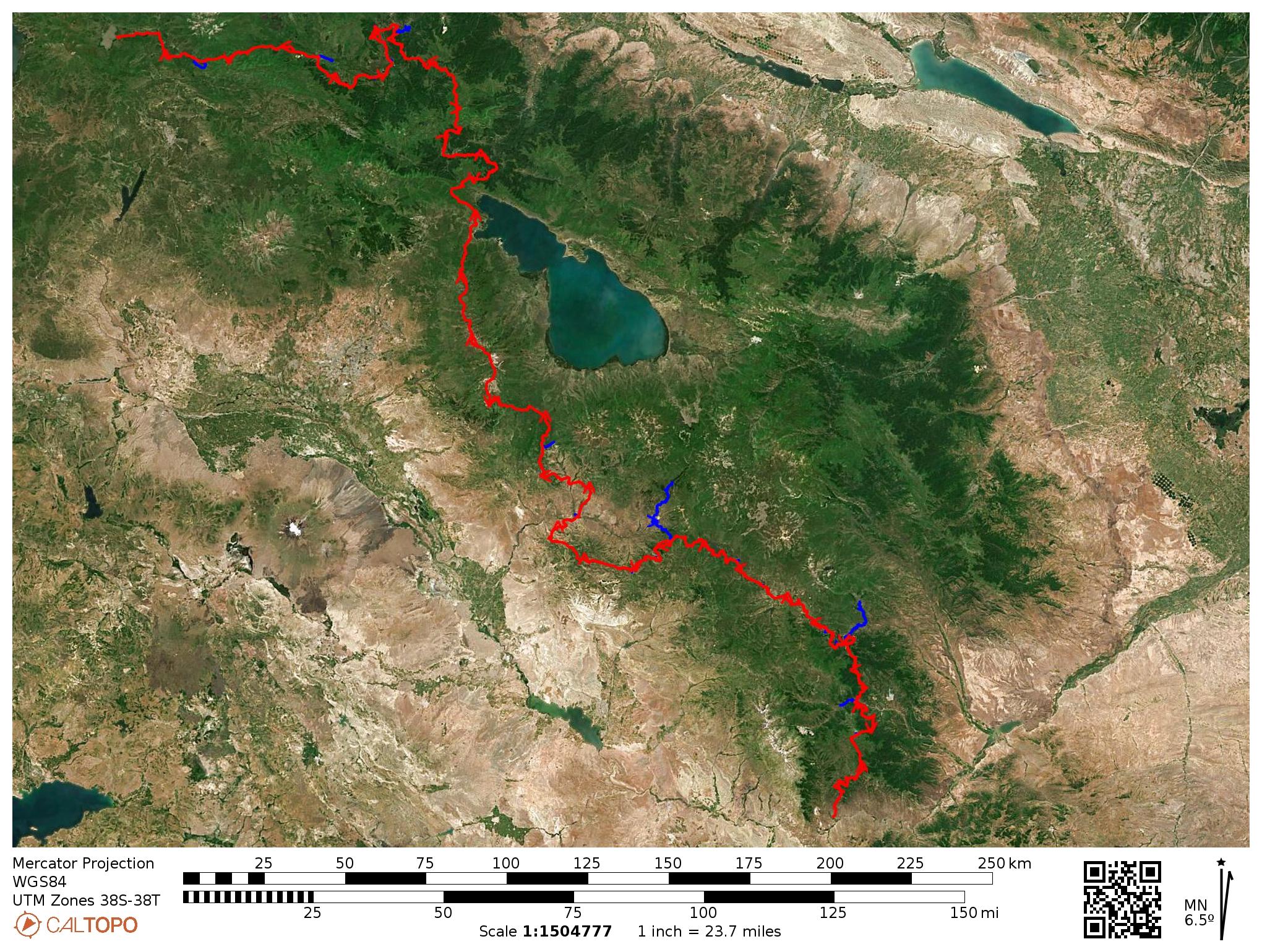
Here we’ll give you a brief taste of what you can expect from each region. Regions are listed from North to South, but the route is designed to be hiked in either direction.
Shirak
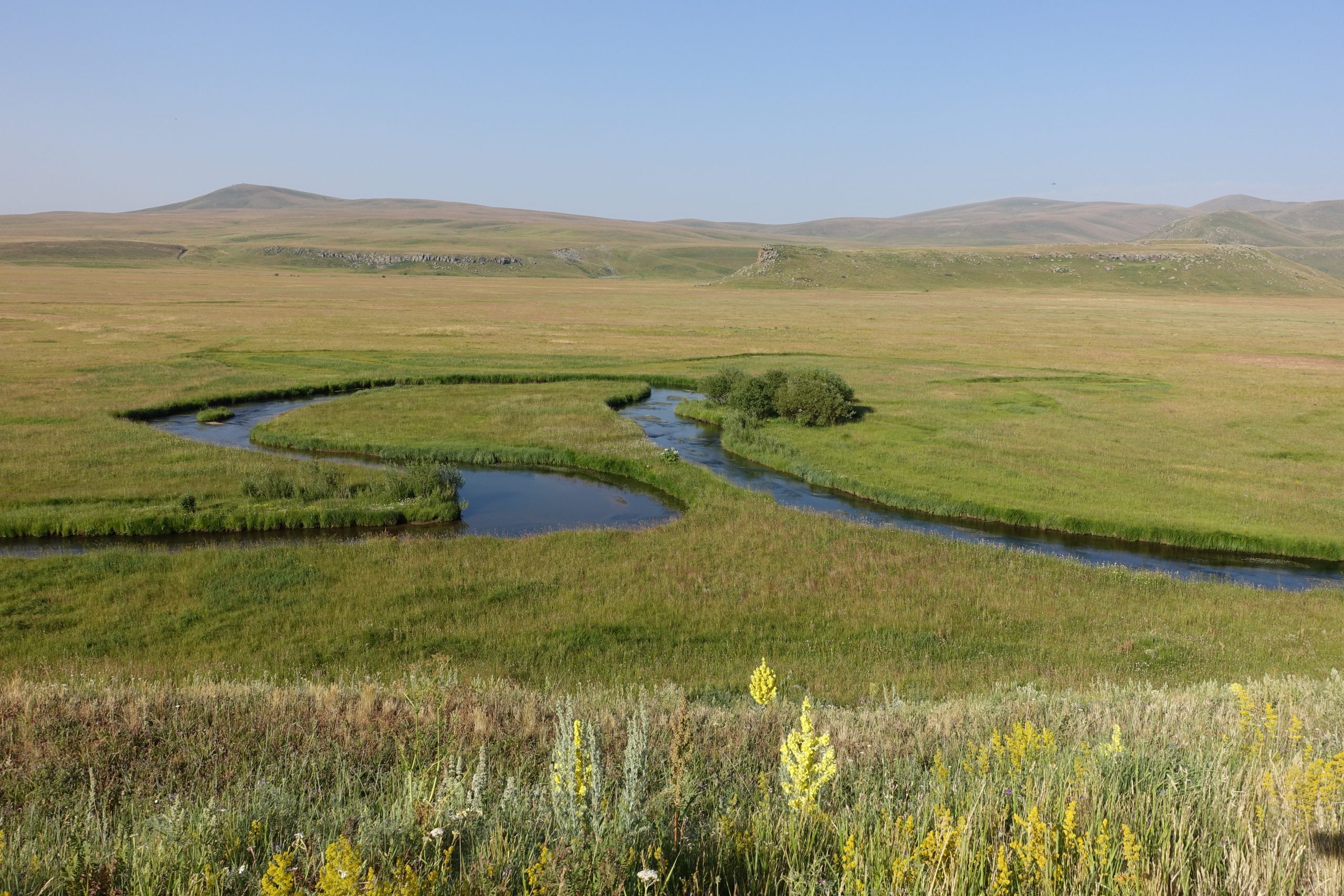
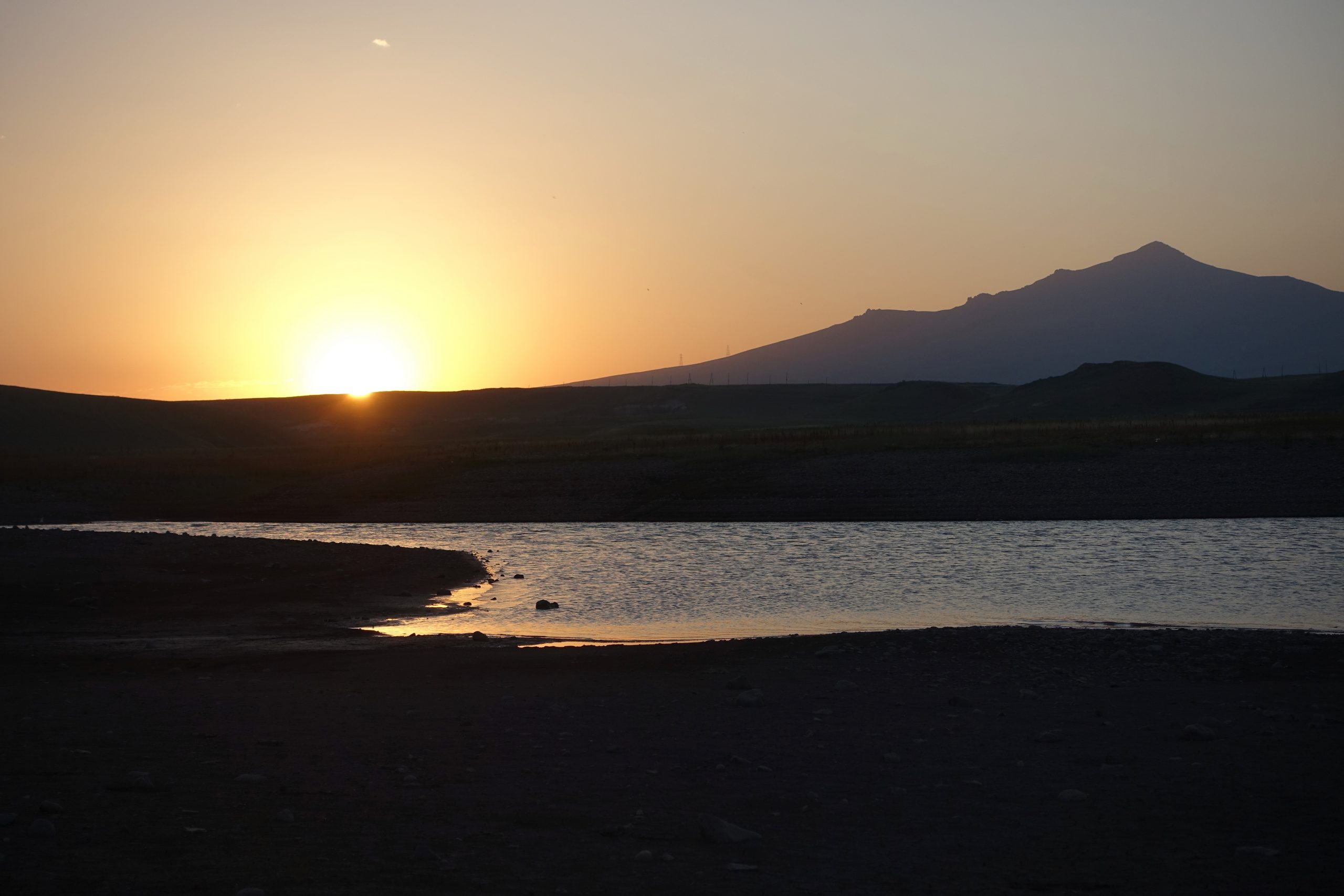
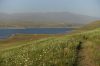
The northern terminus of the Armenia stage of the TCT is Lake Arpi National Park, a rich transboundary protected area that shares the same ecosystem as Javakheti Protected Areas across the northern border in Georgia. The National Park is one of the best places in Armenia for birdwatching, hosting a wide variety of local and migratory bird species.
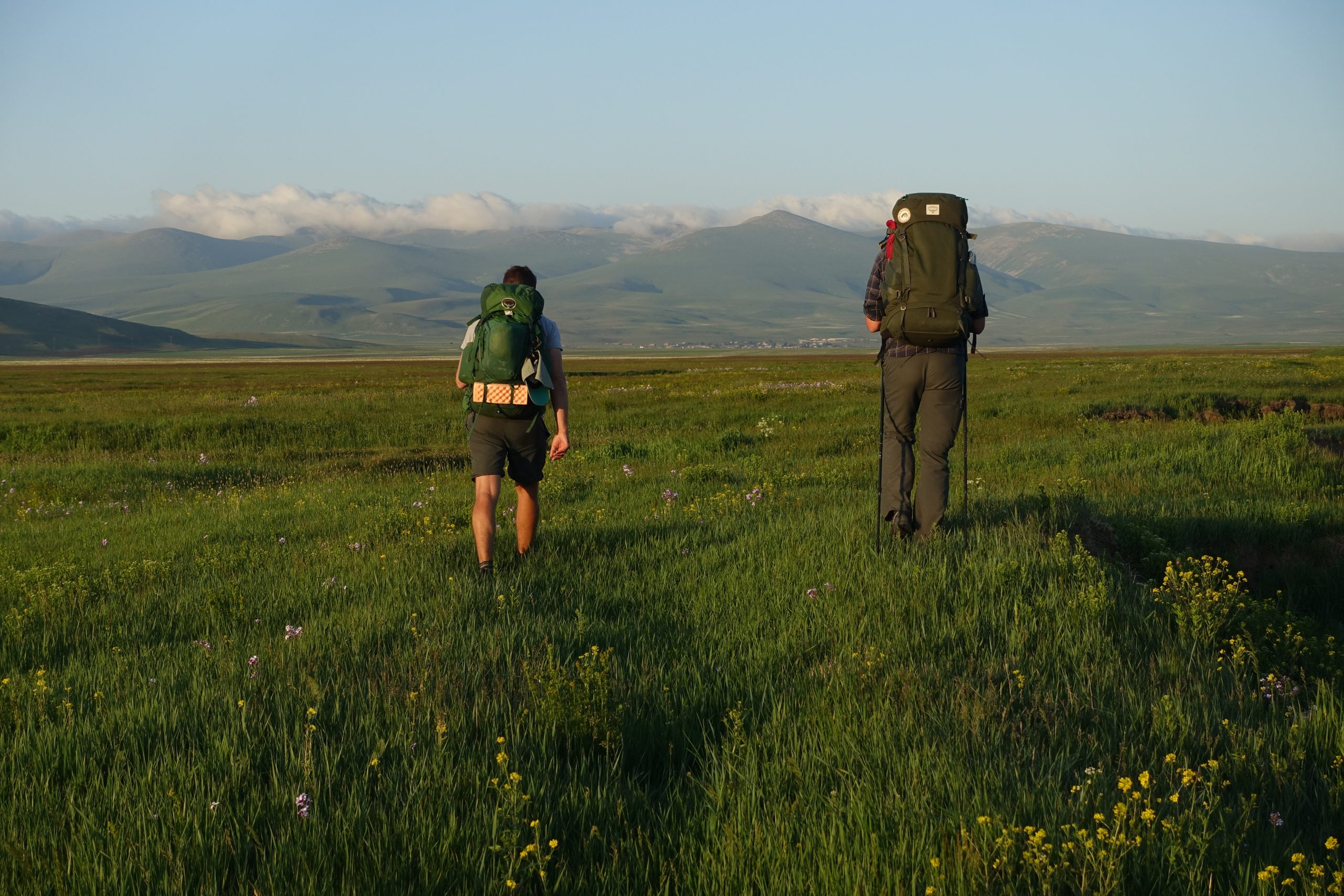
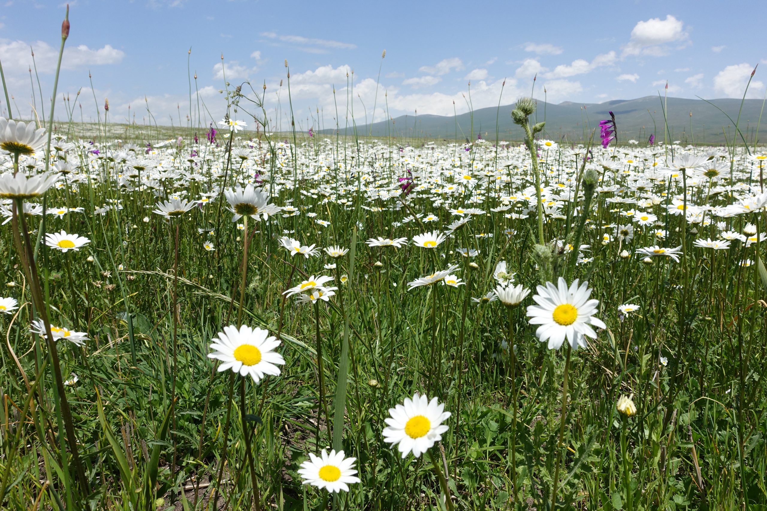
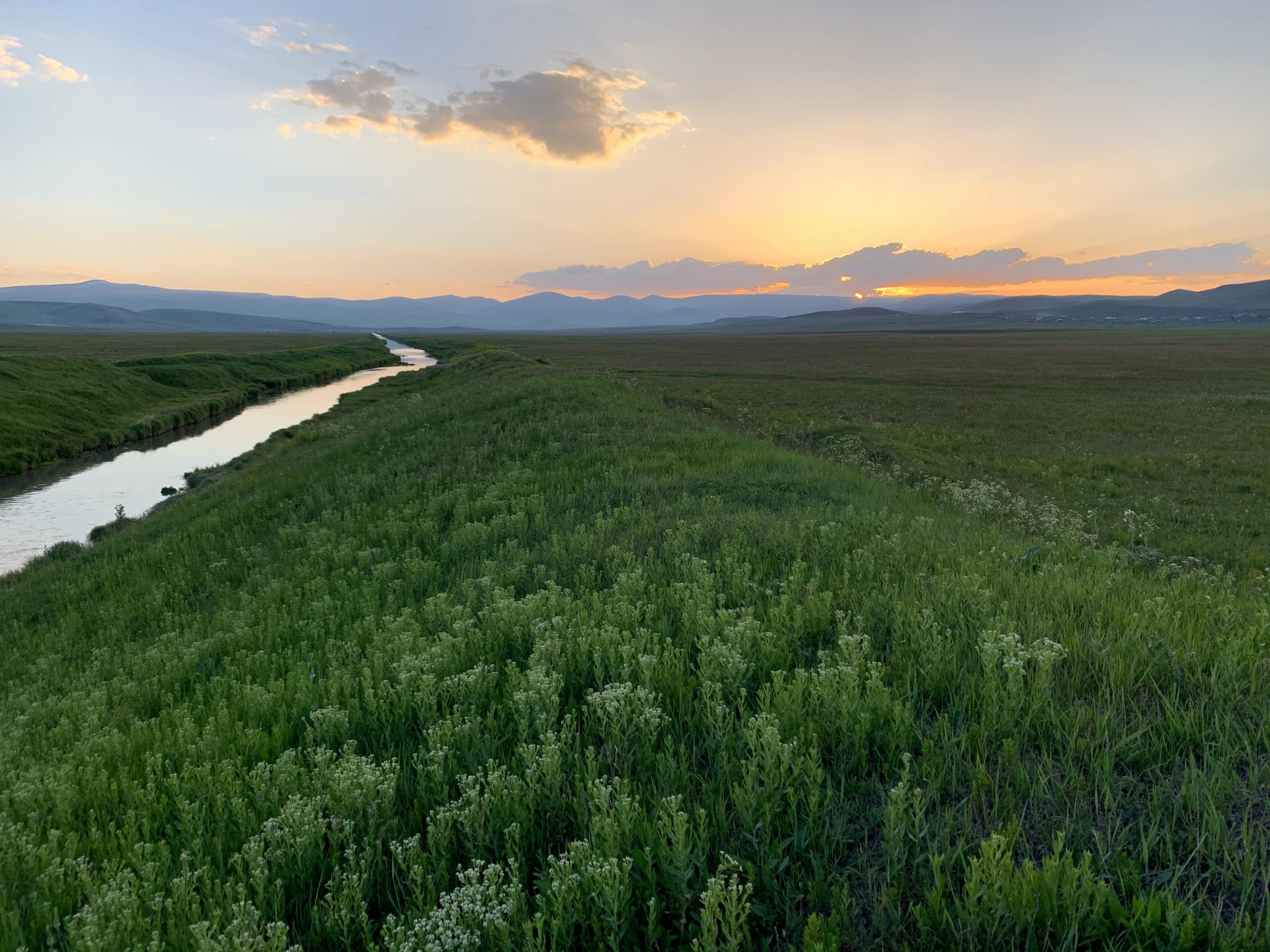
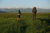
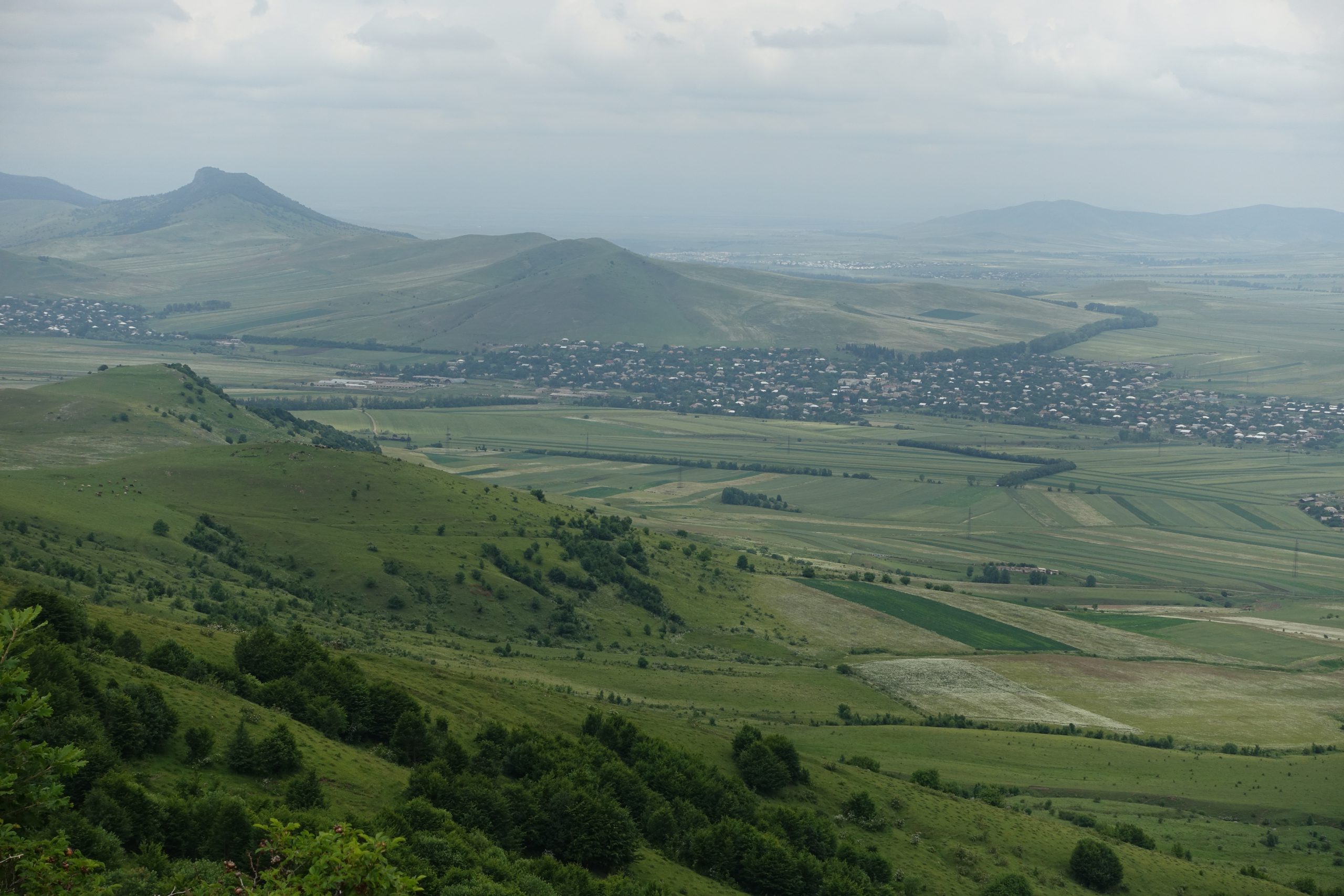
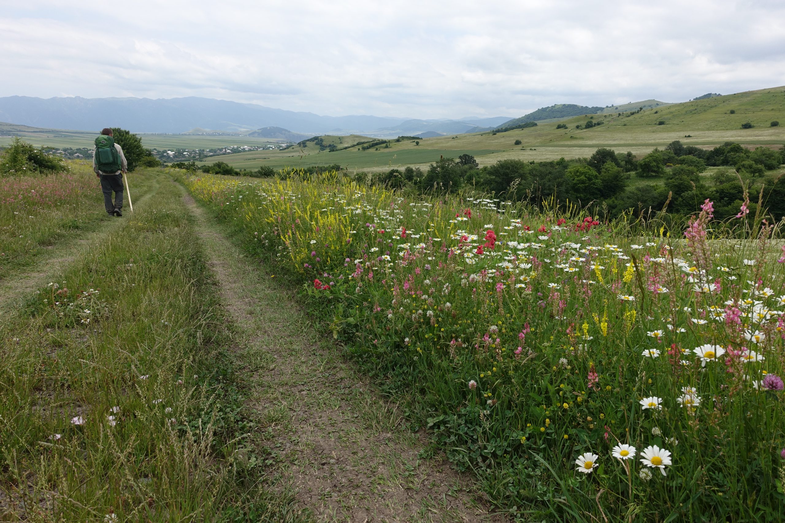
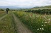
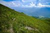
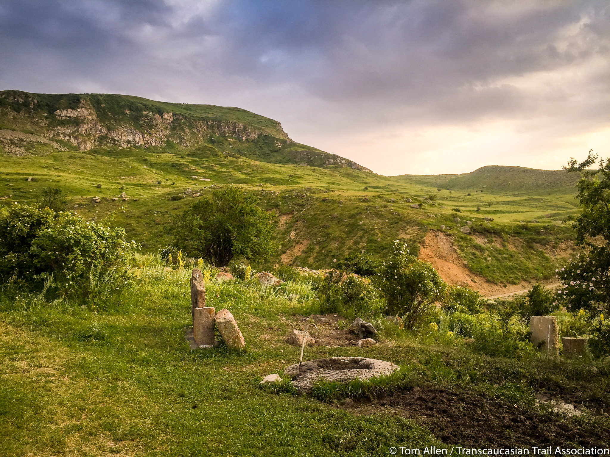
The terrain across Shirak is primarily flat wetlands and water meadows through Lake Arpi National Park, transitioning to treeless steppe and rolling hills in the east. The route is a mix of jeep track and open terrain, resulting in relatively easy hiking. The elevation of this open plateau is relatively high, meaning colder and windier weather than elsewhere in the region.
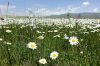
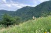
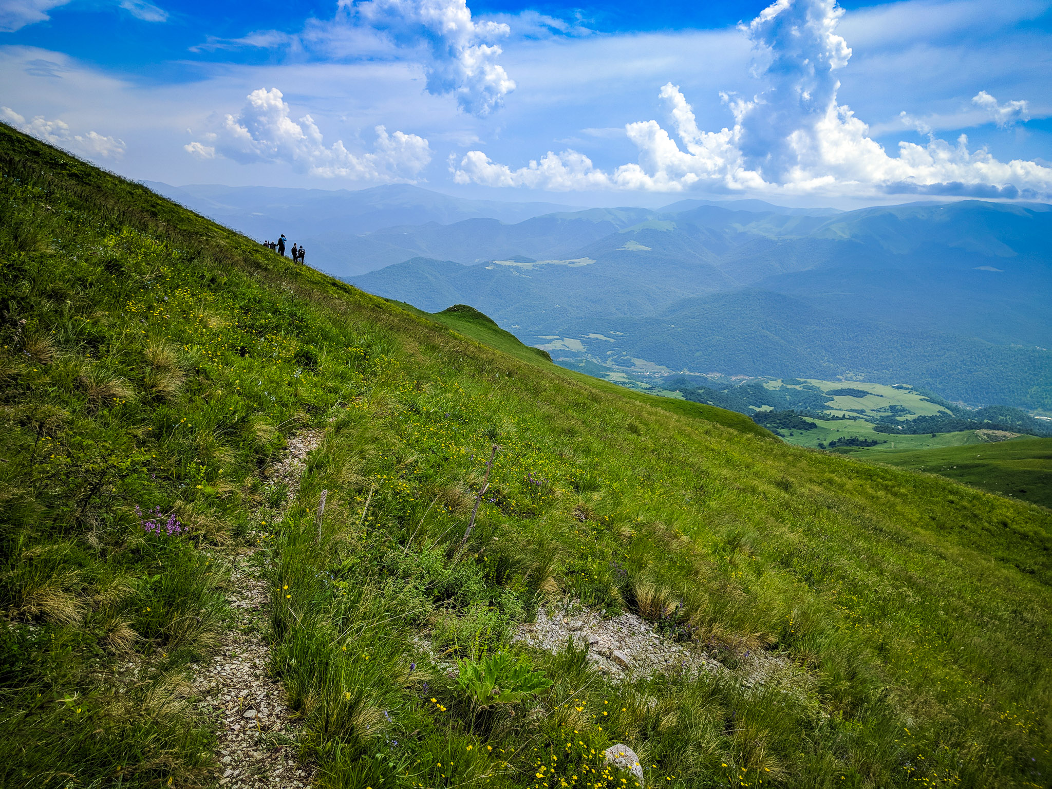
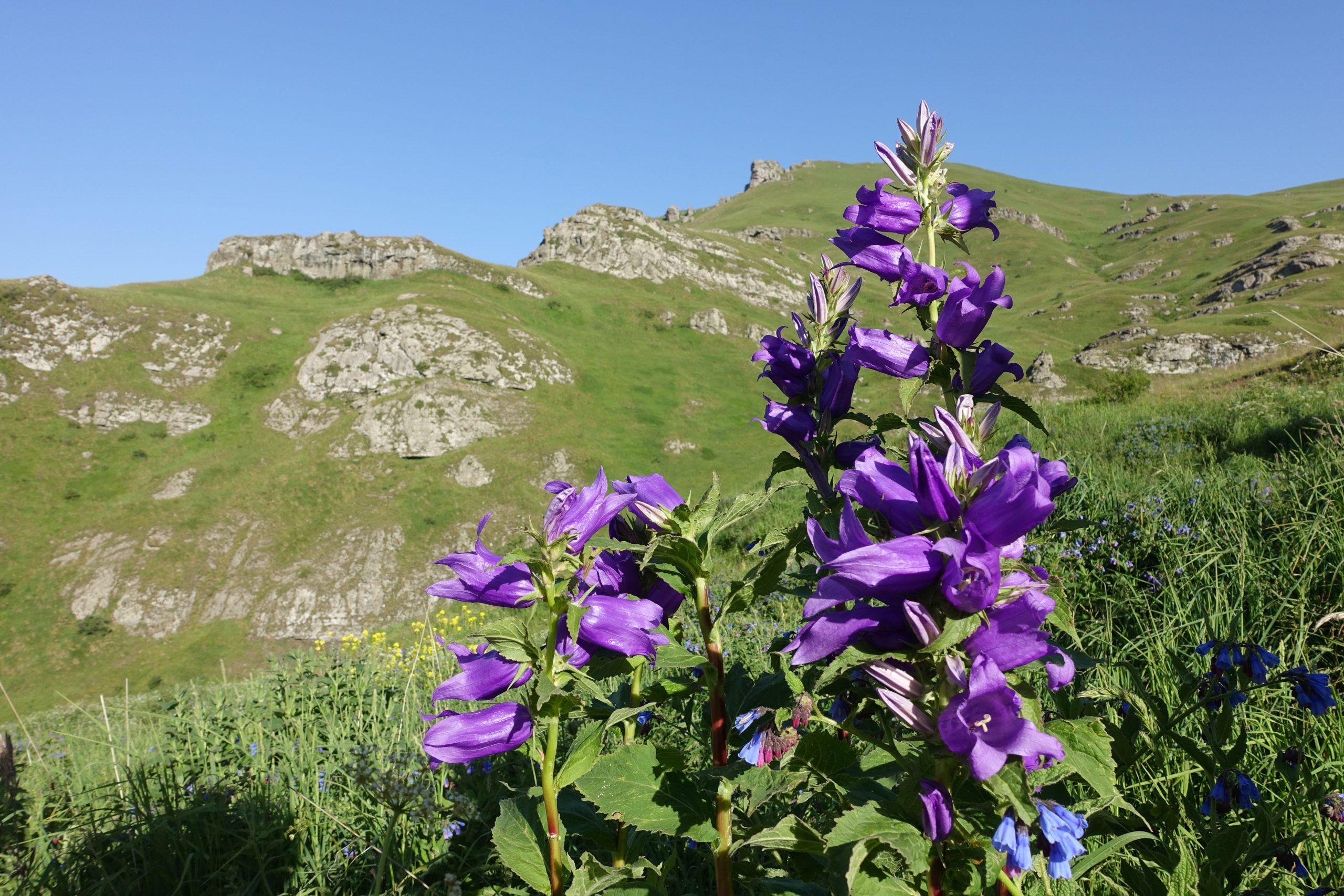
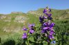
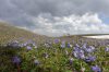
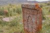
This is one of the least-visited parts of Armenia, but don’t be fooled: the high open country is stunning in its own way. In the summer, the hills glow green and are blanketed with vibrant wildflowers. This region has a rich archaeological and cultural heritage, including a mile-long megalith highway near Hartashen. Shirak is also known for its excellent fresh dairy products, thanks to the many mountain farms dotting the hills.
Lori
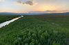
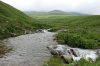
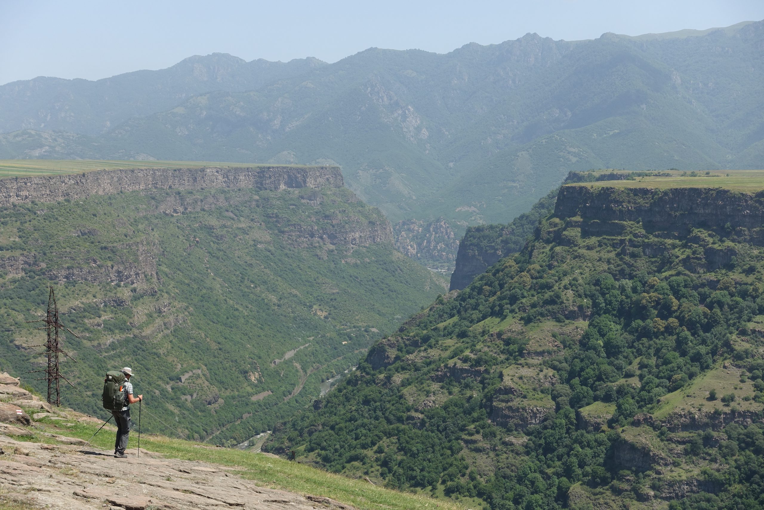
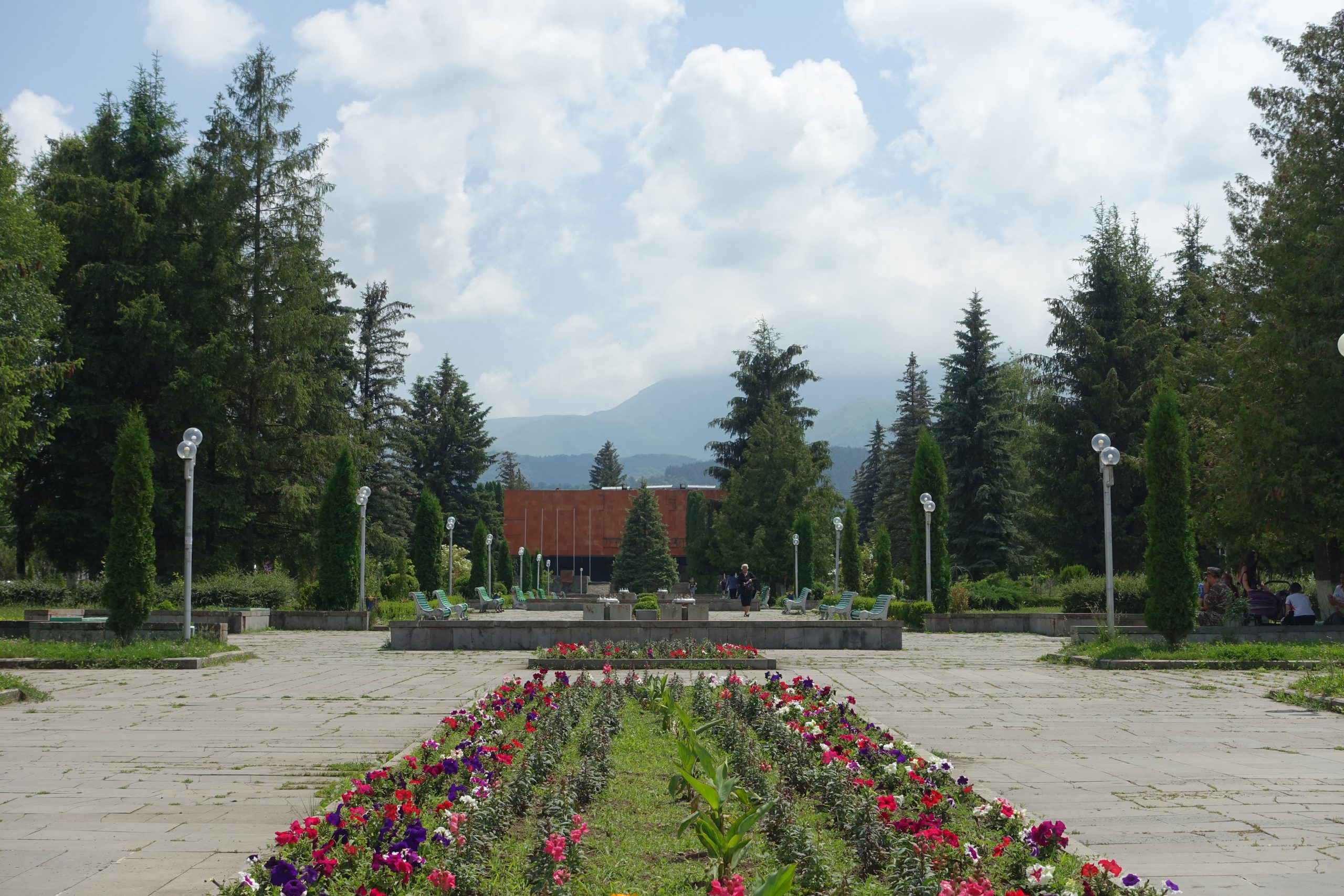
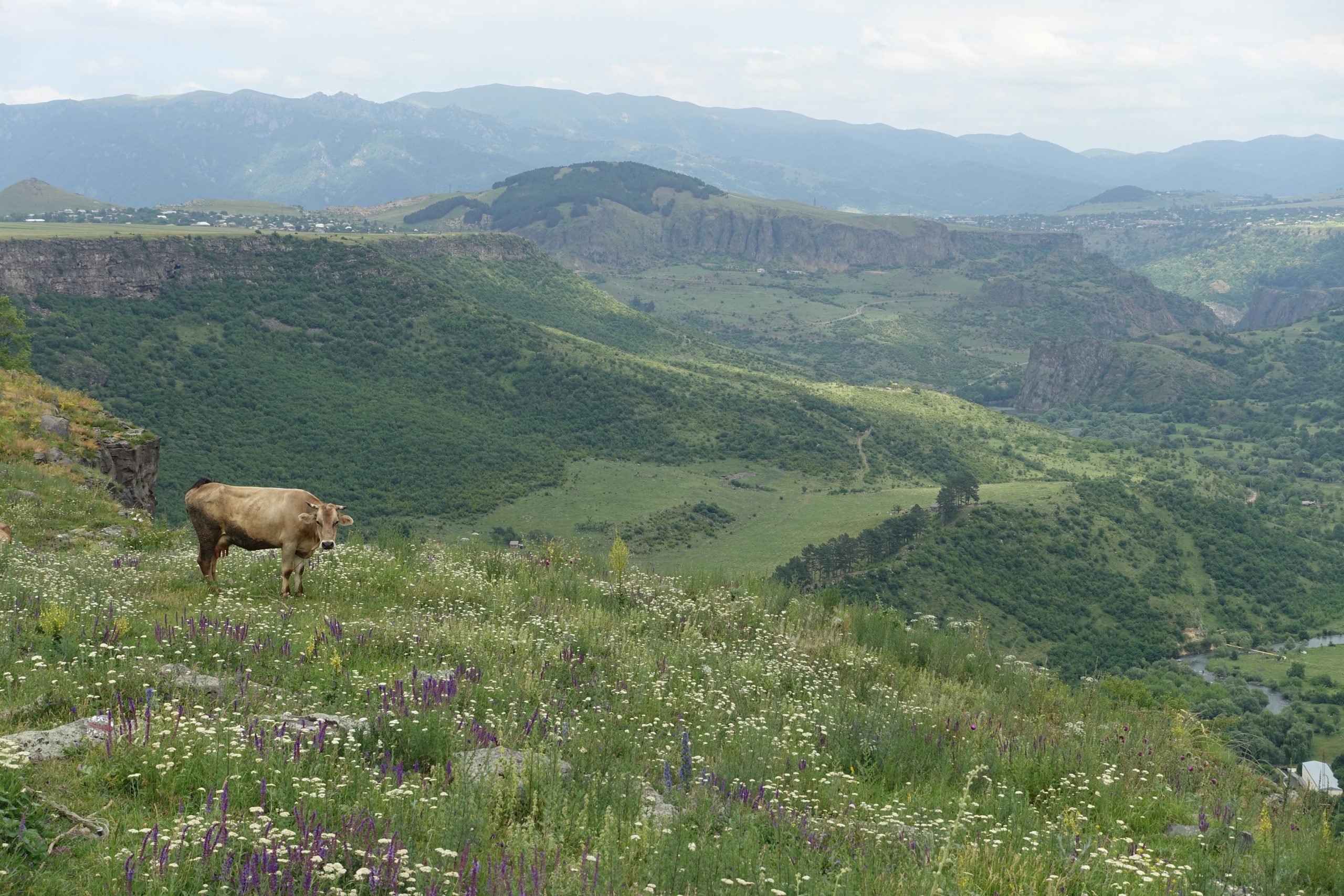
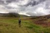
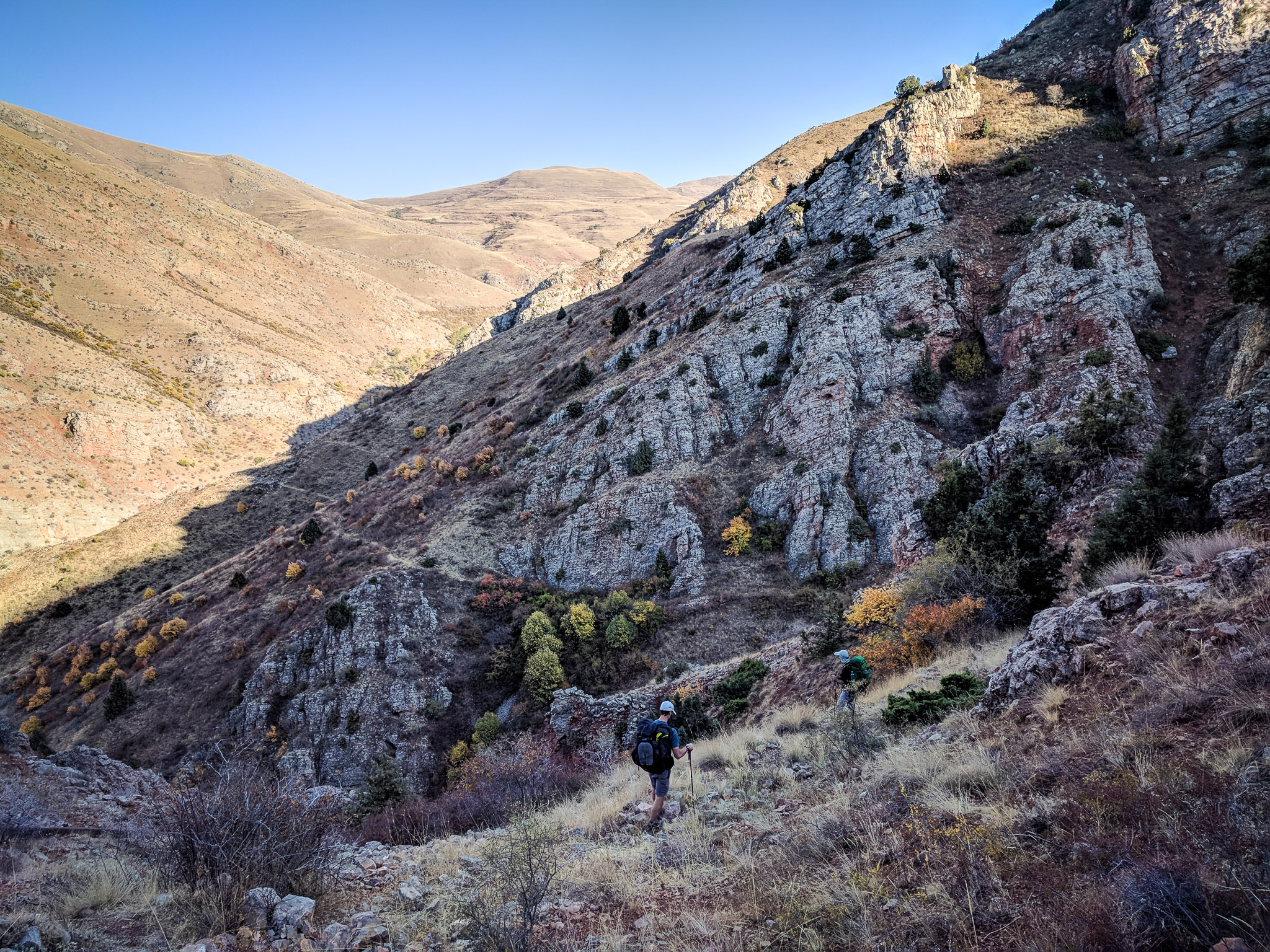
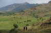
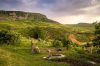
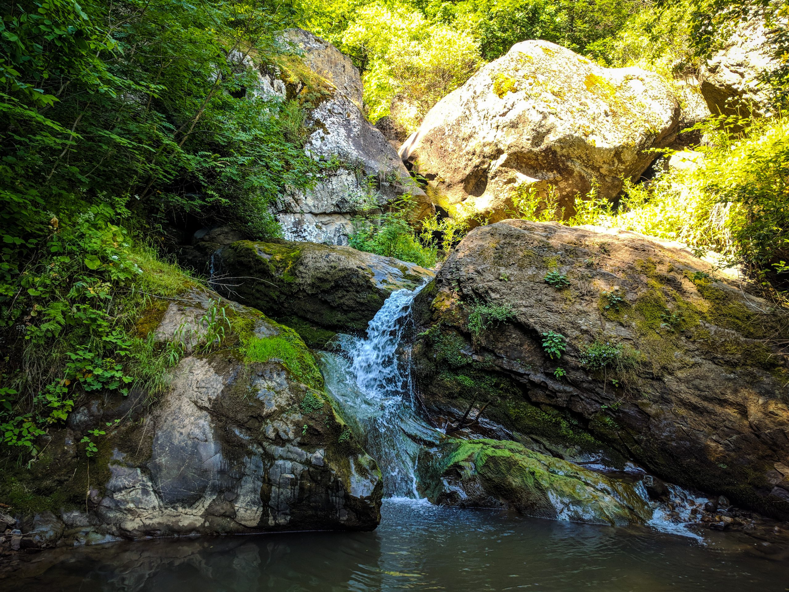
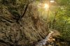
Between the Lori-Shirak border and Stepanavan, the trail weaves between forested ridges and well-tended agricultural valleys. Around Stepanavan, you’ll find cool pine forests, abundant picnic sites, and the impressive arboretum of the dendrological park. The trail through this area is primarily on jeep tracks connecting remote farmsteads and summer pastures.
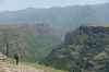
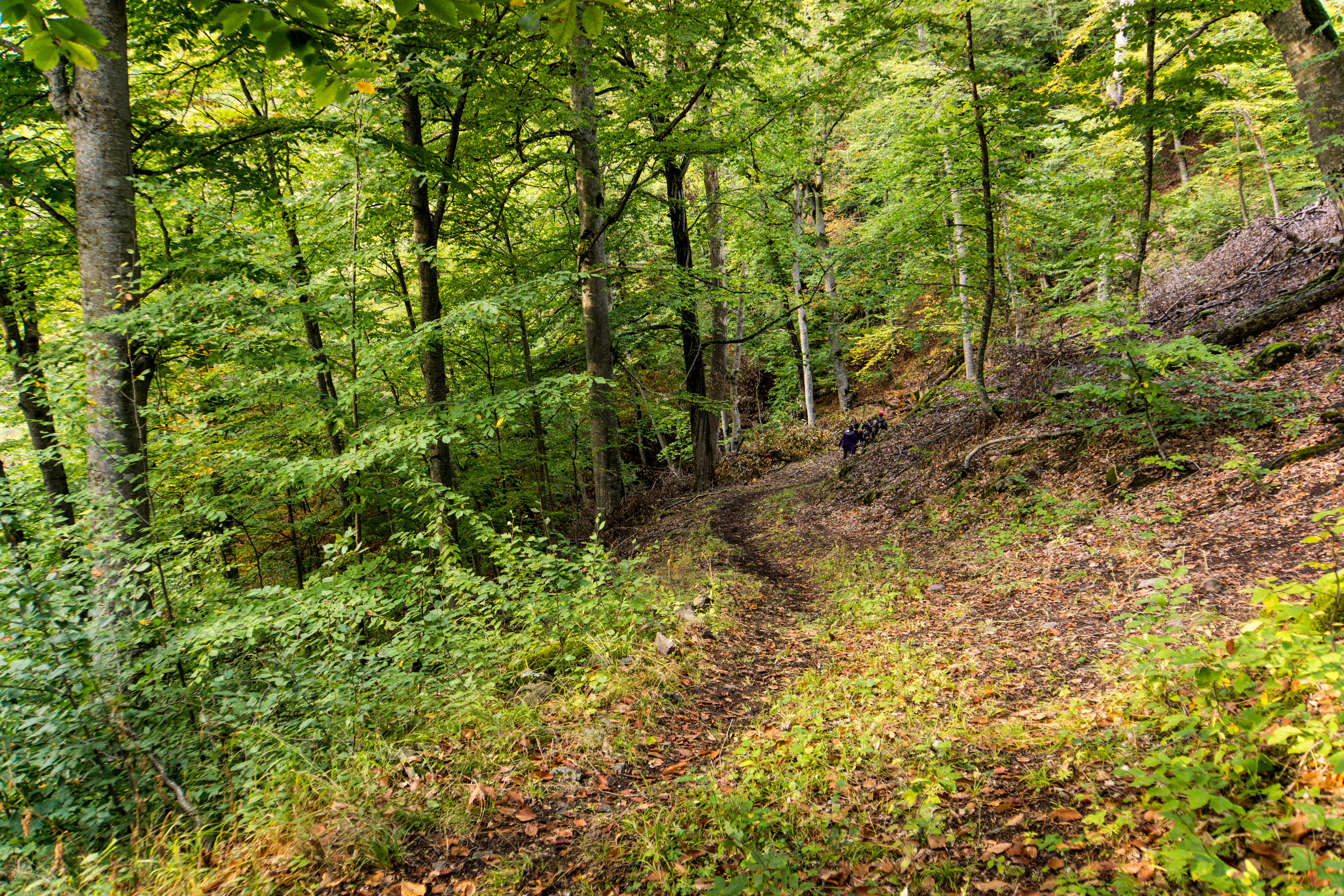
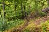
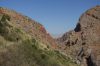
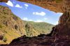
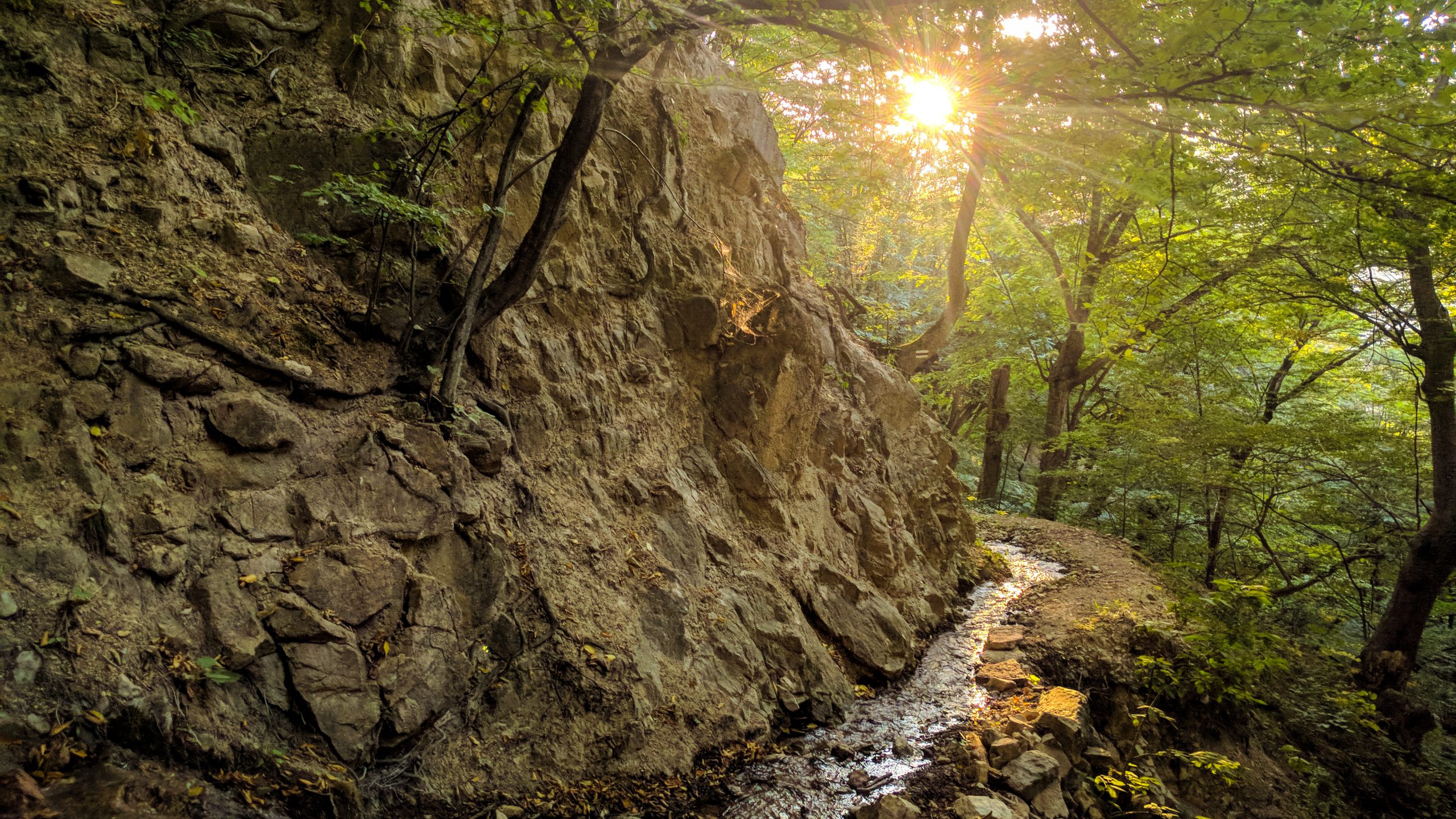
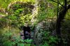
East of Stepanavan is the Dzoraget canyon, where singletrack trails take you down the cliffs and into the lush valley carved by the river deep below. You’ll wind through the canyon, up and down over the cliffs, and into the even more mighty Debed canyon, where you’ll be rewarded with impressive views the whole way to Alaverdi.
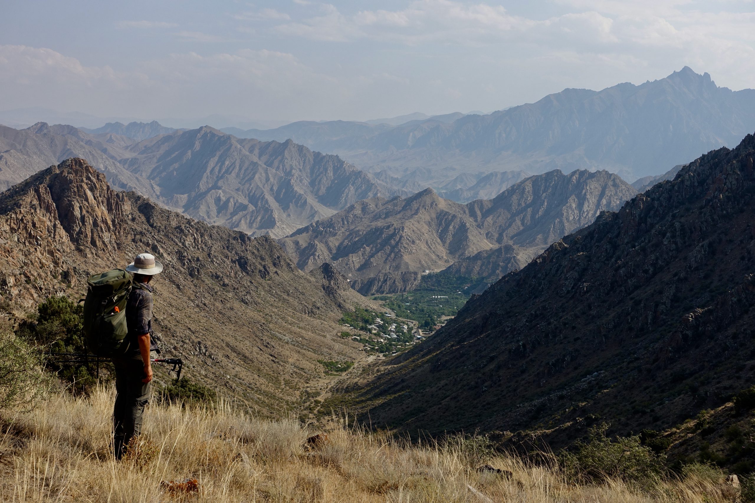
Between Alaverdi and the border of Tavush, the trail climbs back up above the treeline, along epic ridgelines, and into the highlands, where you’ll once again be surrounded by a wide expanse of rolling hills stretching all the way to Dilijan National Park.


Tavush
While traversing the highlands on jeep tracks and livestock trails of Tavush, large cliffs emerge from the hills. This is the Ijevan range, which you’ll cross to enter Dilijan National Park. Along the hills above Dilijan, keep an eye out for the herds of semi-wild horses that roam the area.
In Dilijan National Park, the trail follows a more or less direct route to the town of Dilijan, although it is well worth a detour to the top of the dramatic cliffs towards Hovk.
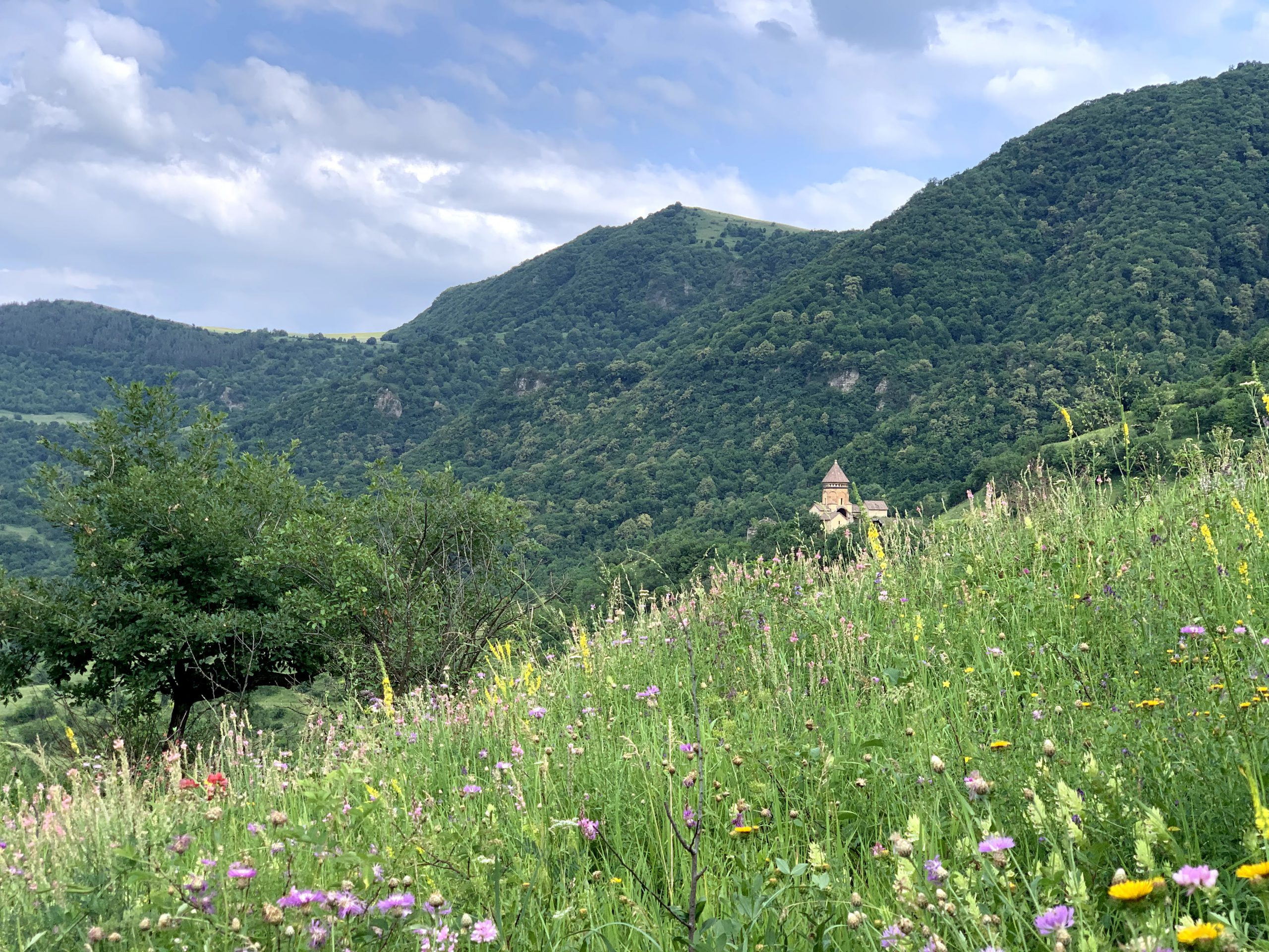
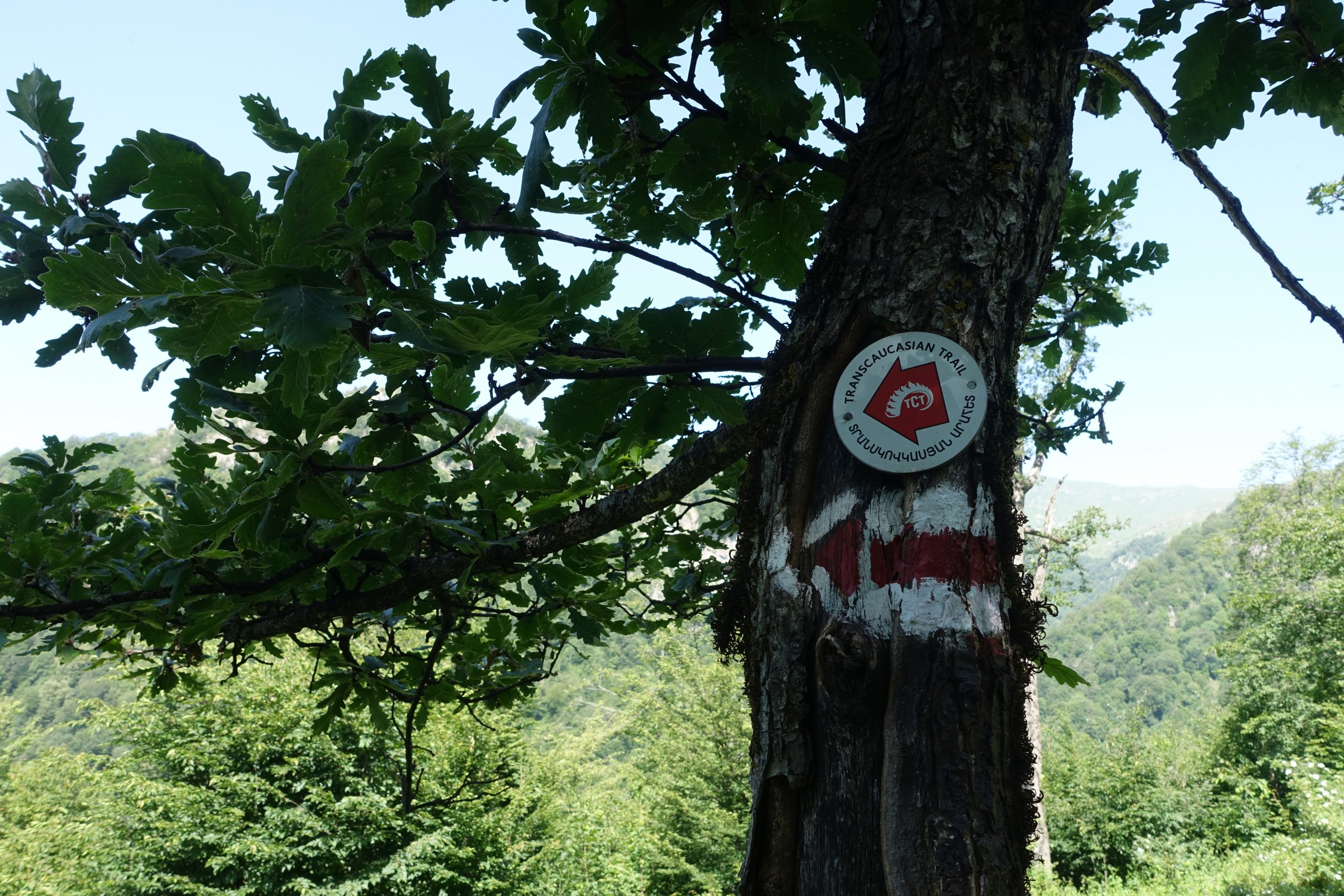
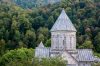
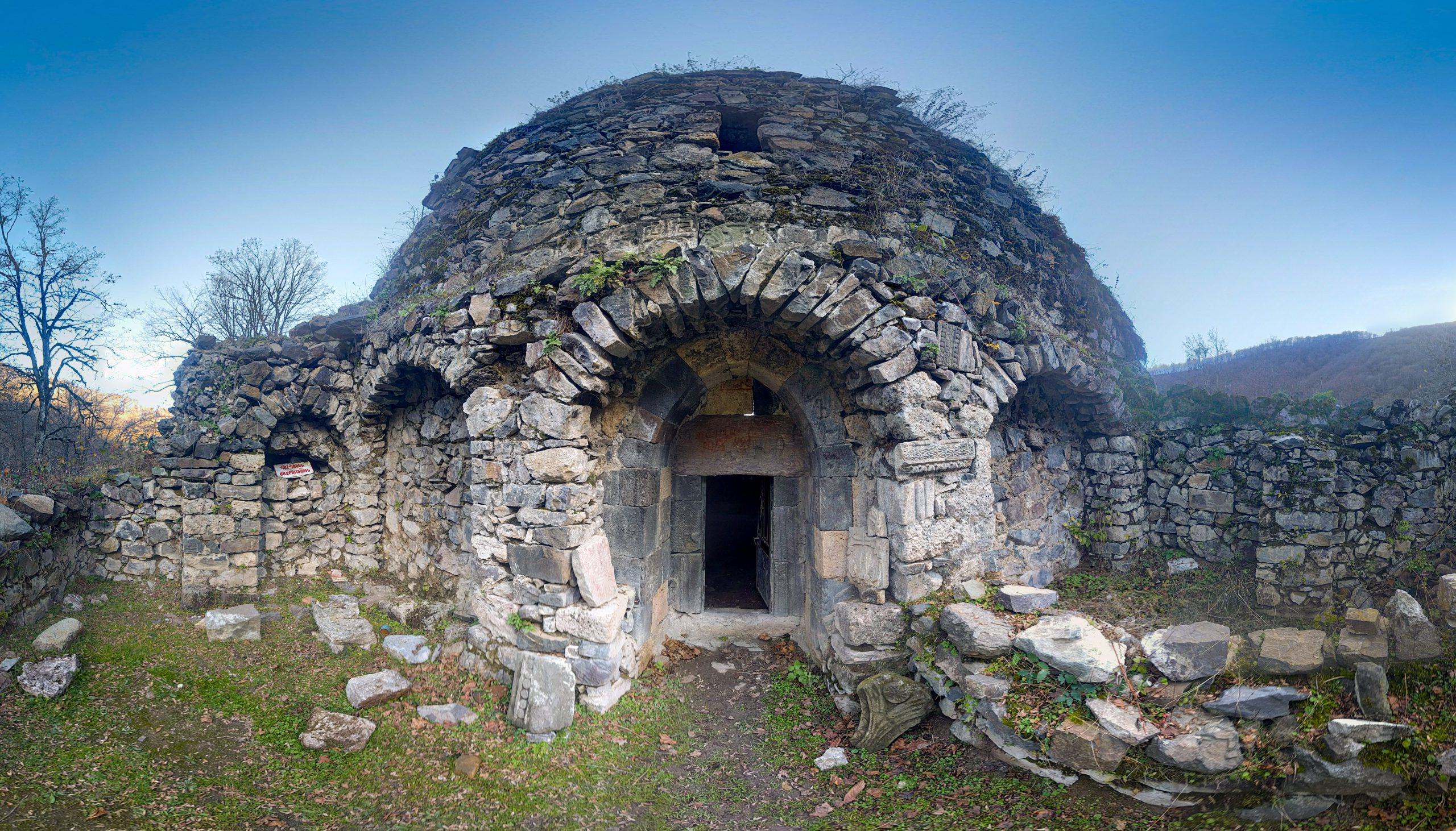
Dilijan’s trail network is generally quite easy to navigate and well-maintained, although there is a brief section towards the ridge along the northern border with the National Park that is unmarked, unmaintained, and extremely overgrown, so be prepared for a bit of bushwhacking. Make sure to stop at Haghartsin Monastery for their legendary gata pastry. The town of Dilijan is a perfect spot for a rest day, with some excellent restaurant options, well-stocked supermarkets, and a charming town to explore.
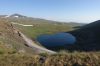
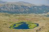
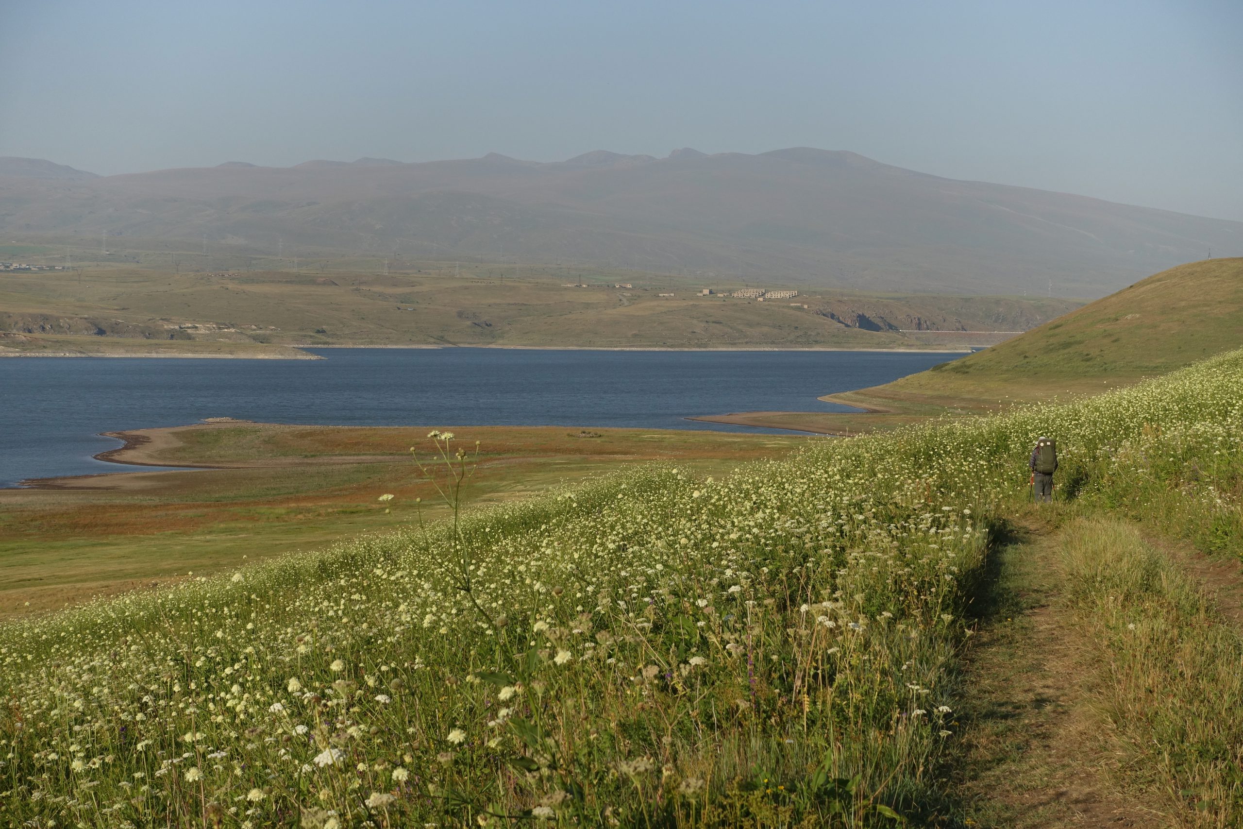
East of Dilijan, the trail winds through the forest on singletrack trails towards Lake Parz; Gosh village with its popular Goshavank monastery; and Gosh Lake, a popular picnic and camping spot. South of Gosh Lake, the route heads over an open, hilly range towards the massive Lake Sevan. Lake Sevan, the largest body of water in the Caucasus, is not on the main TCT route, but well worth a detour. Stopping for a swim is highly recommended.
More information on the trail network around Dilijan here.


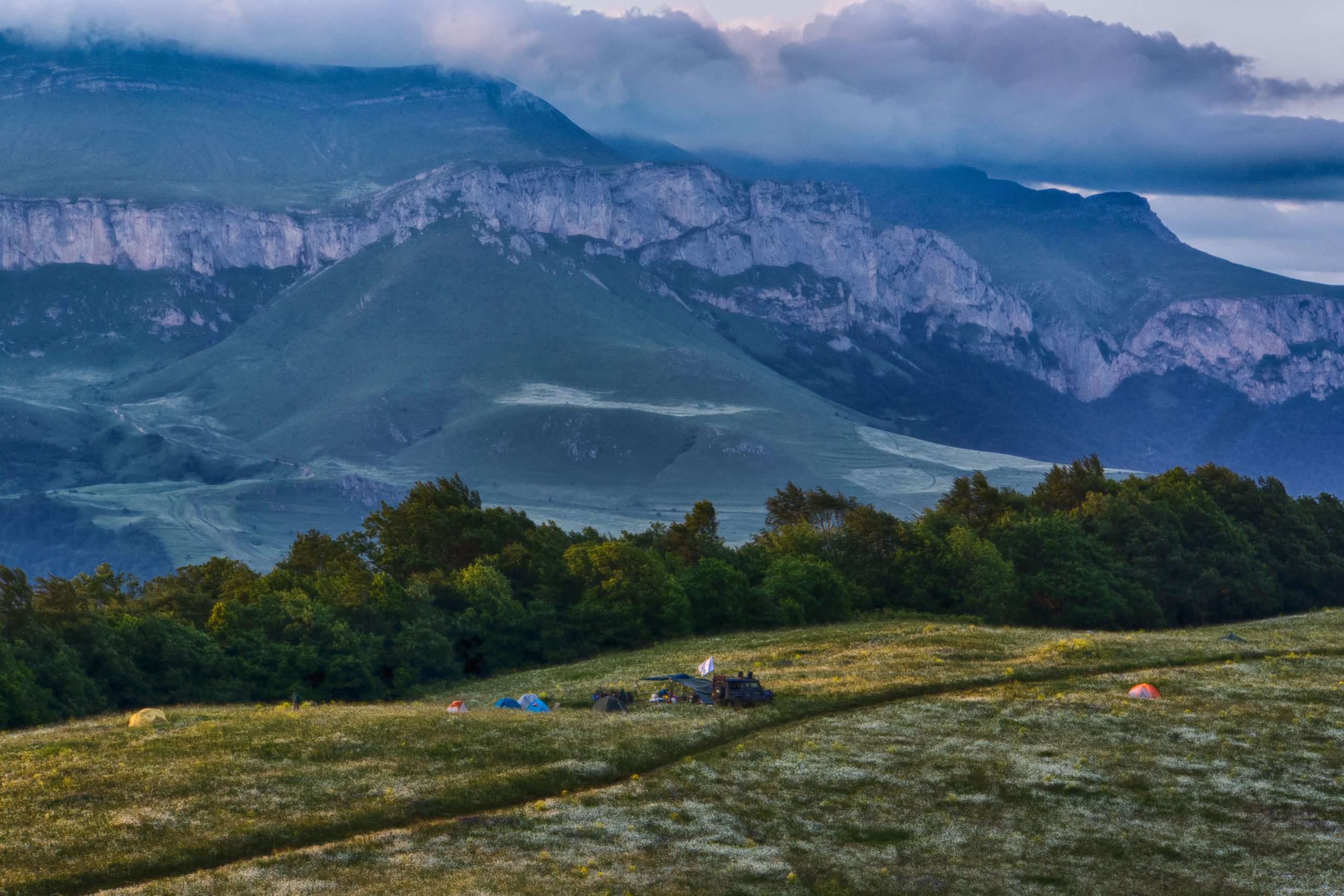


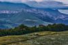
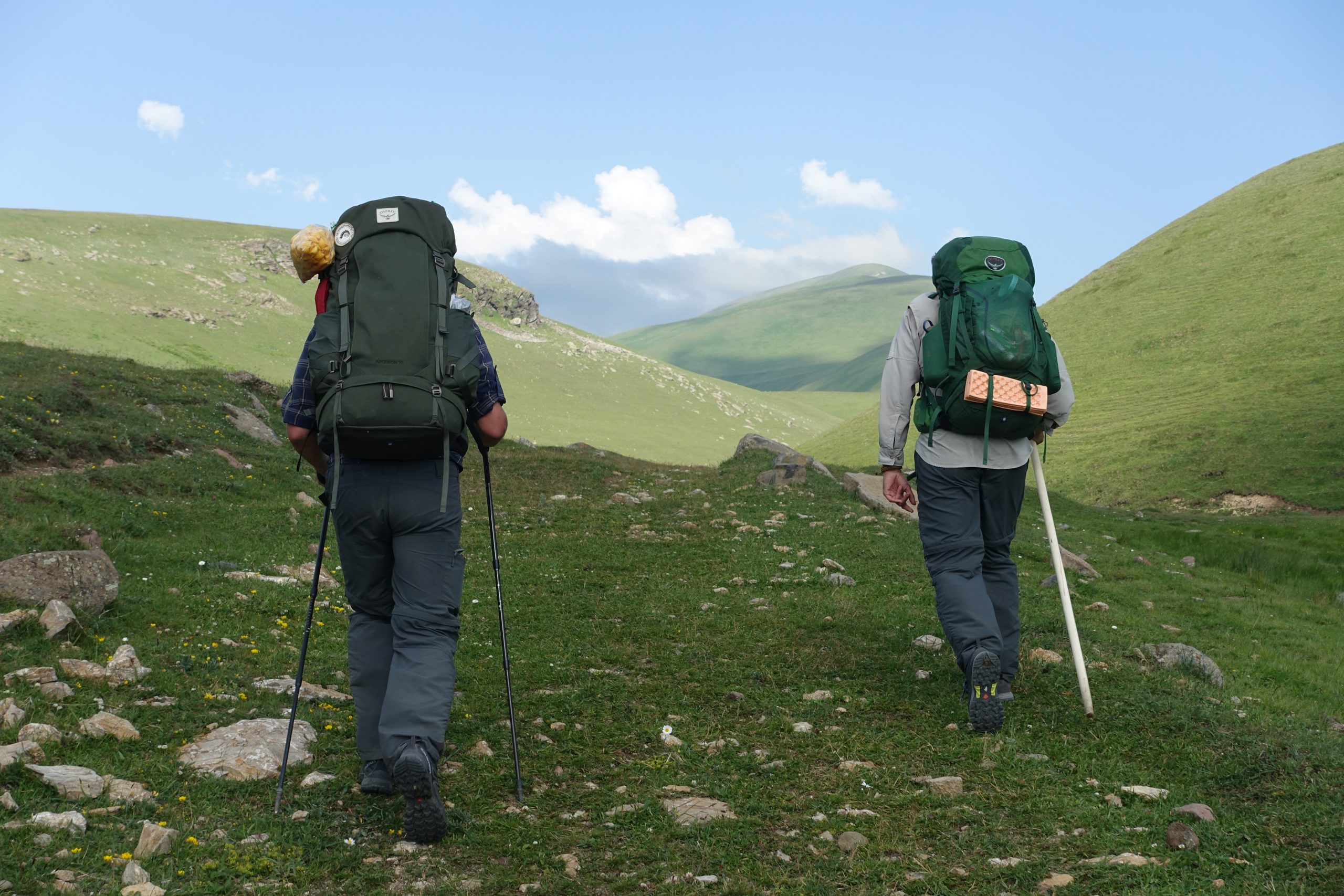
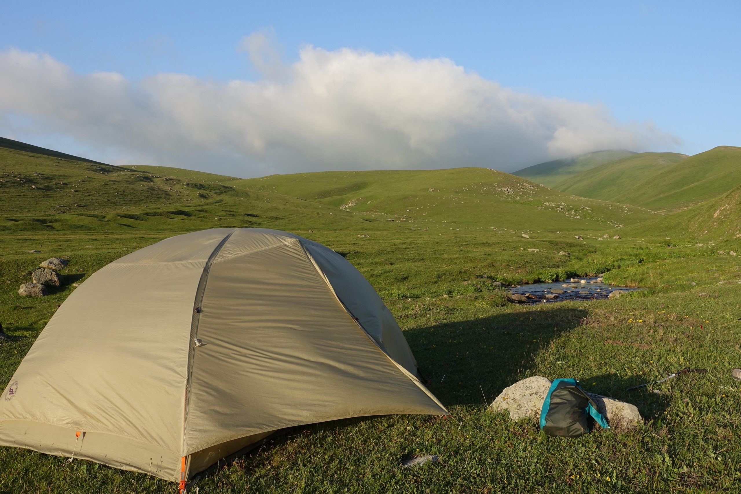
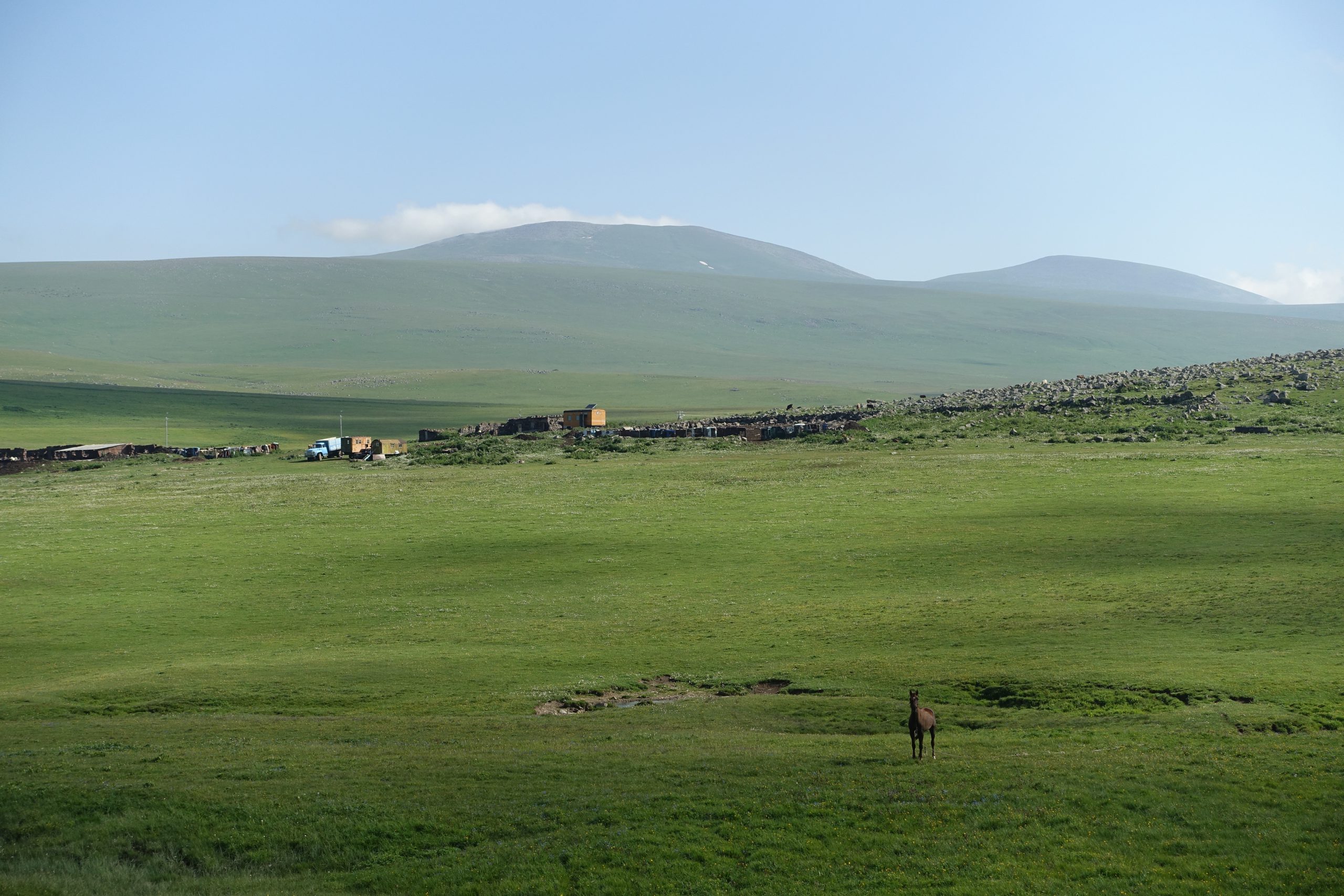
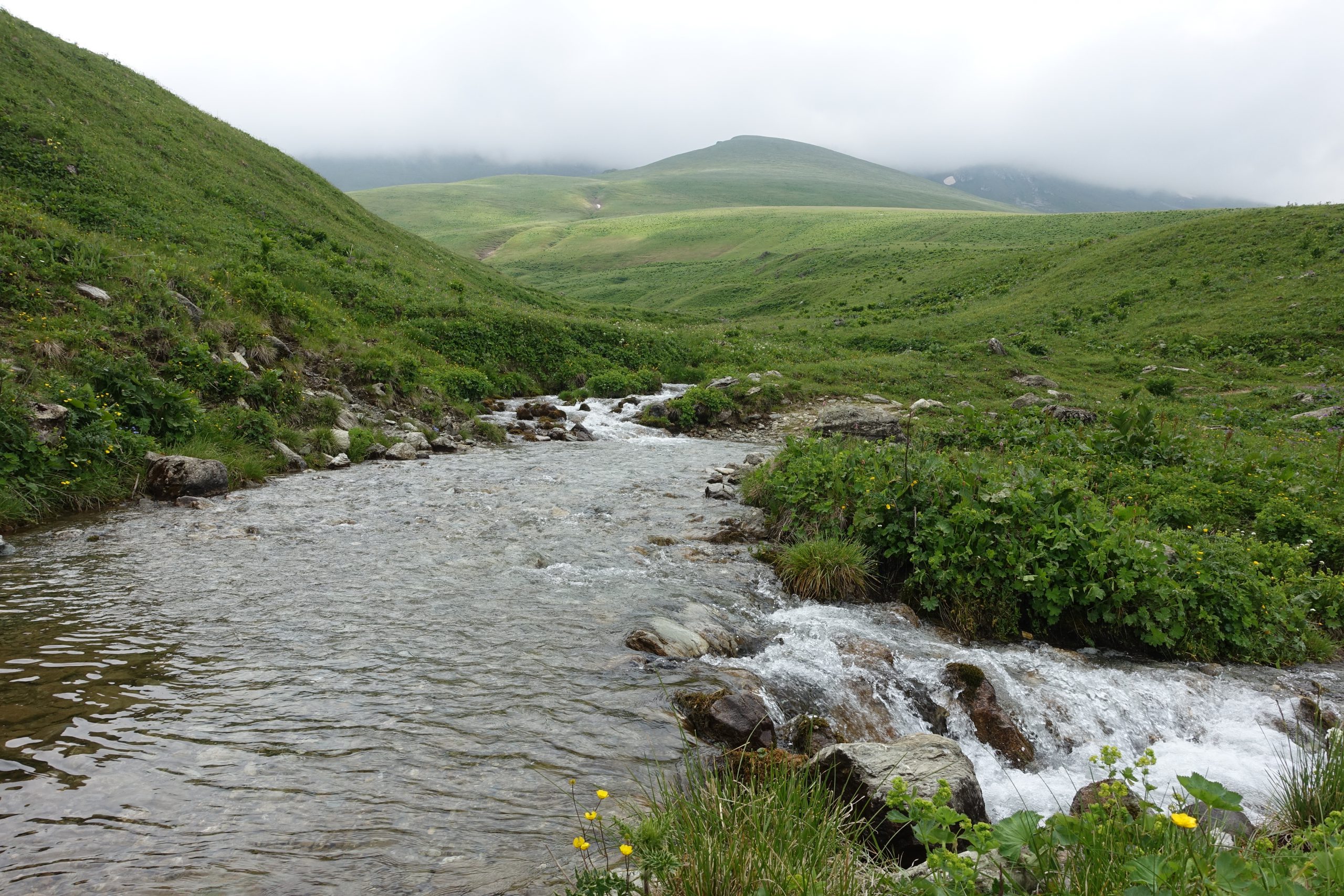
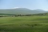
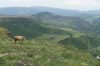
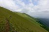
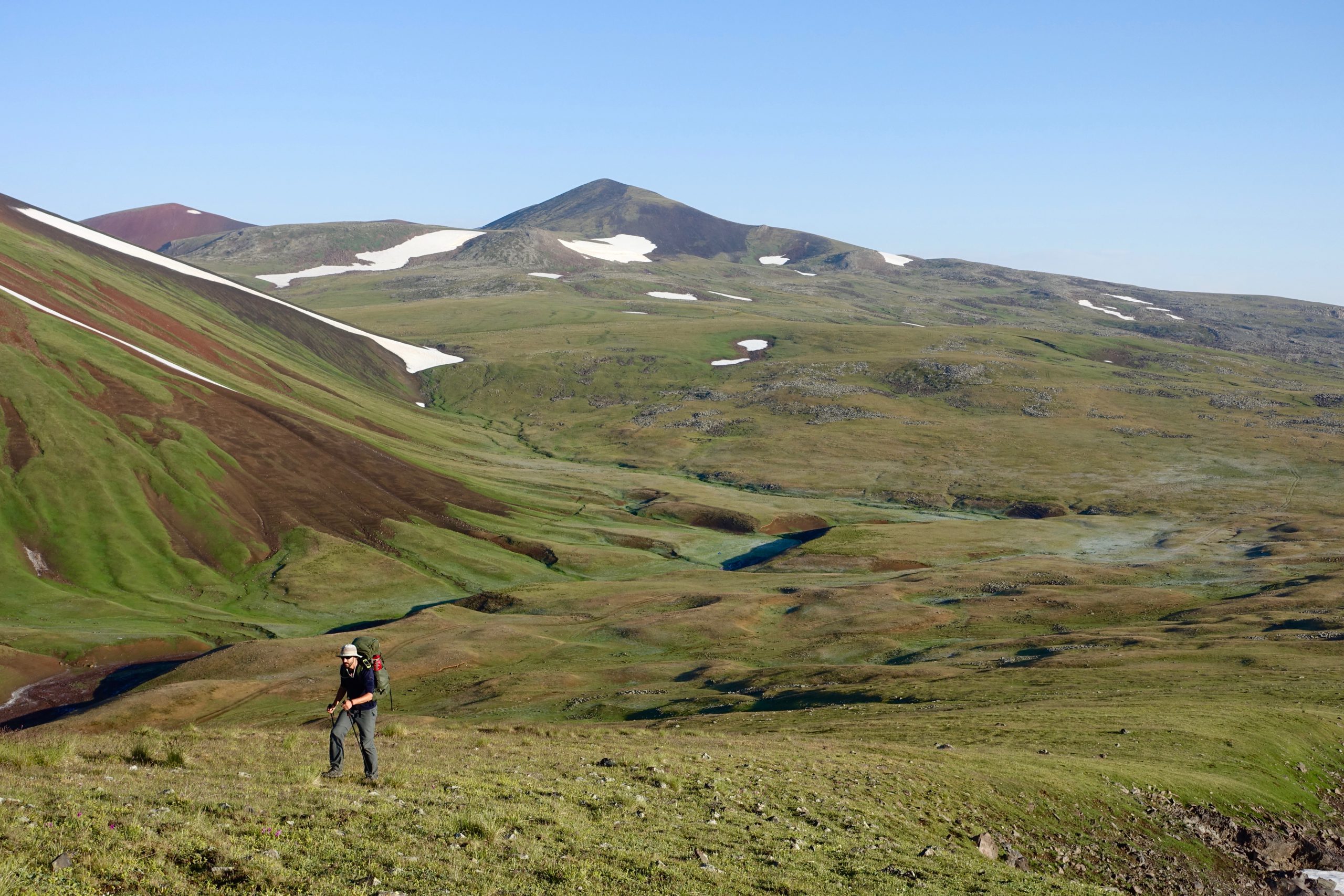
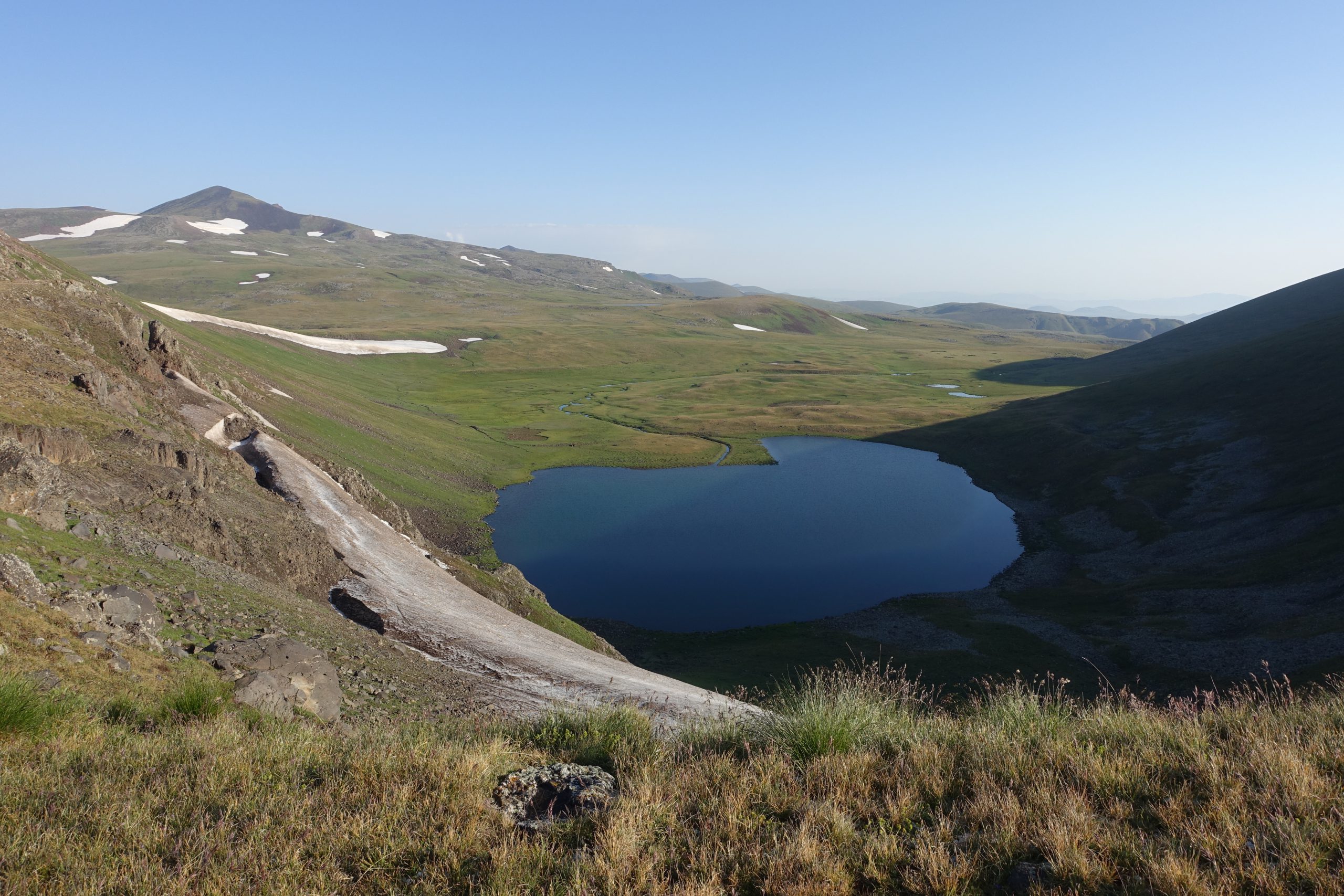
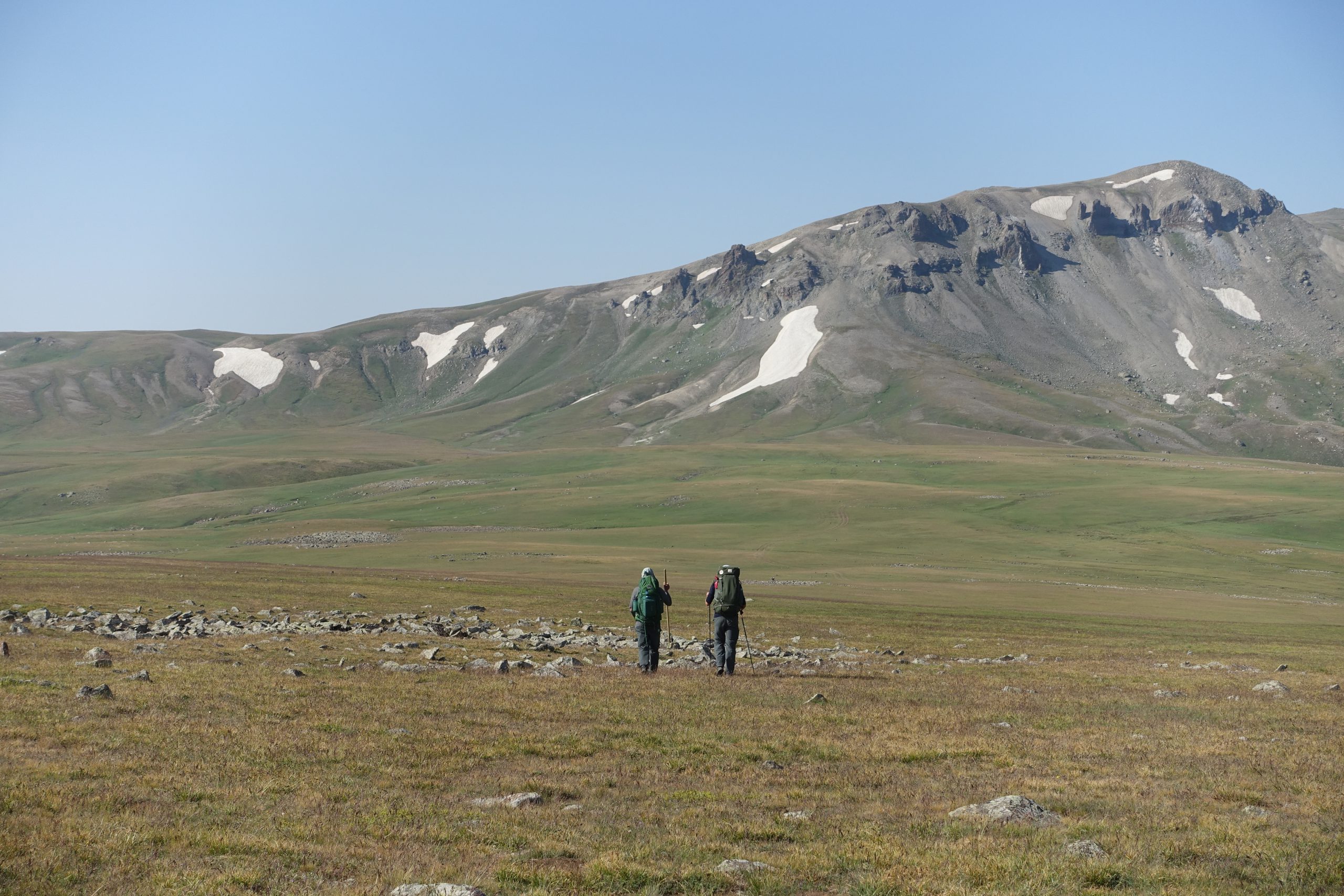
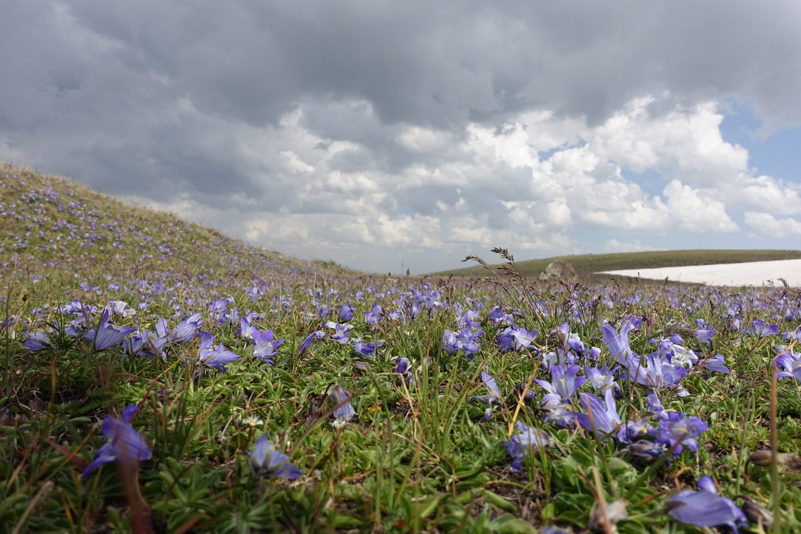
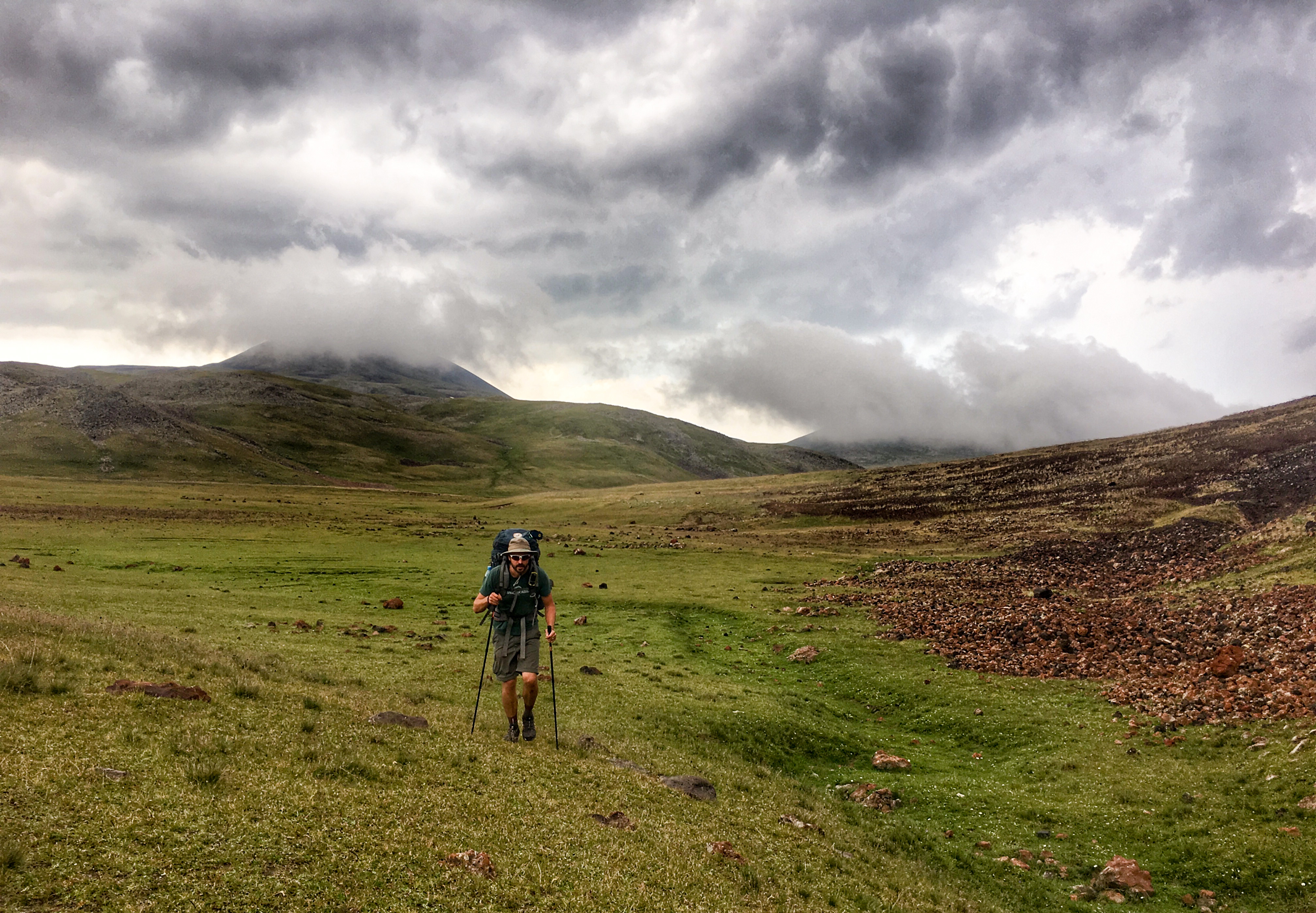
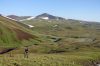
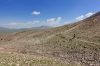
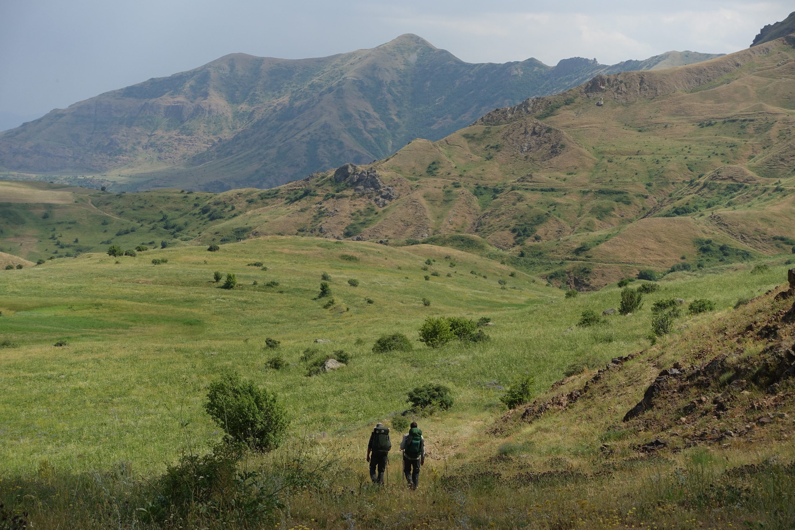
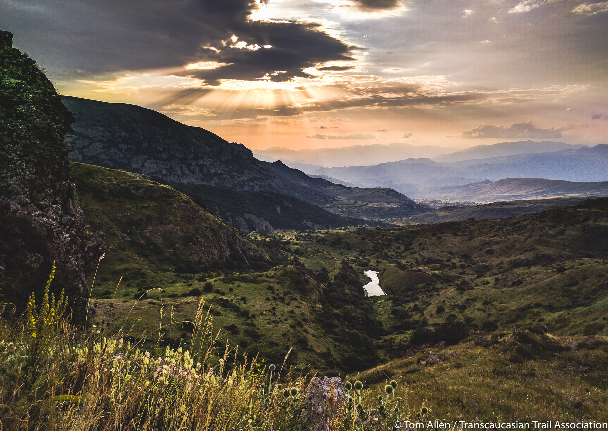
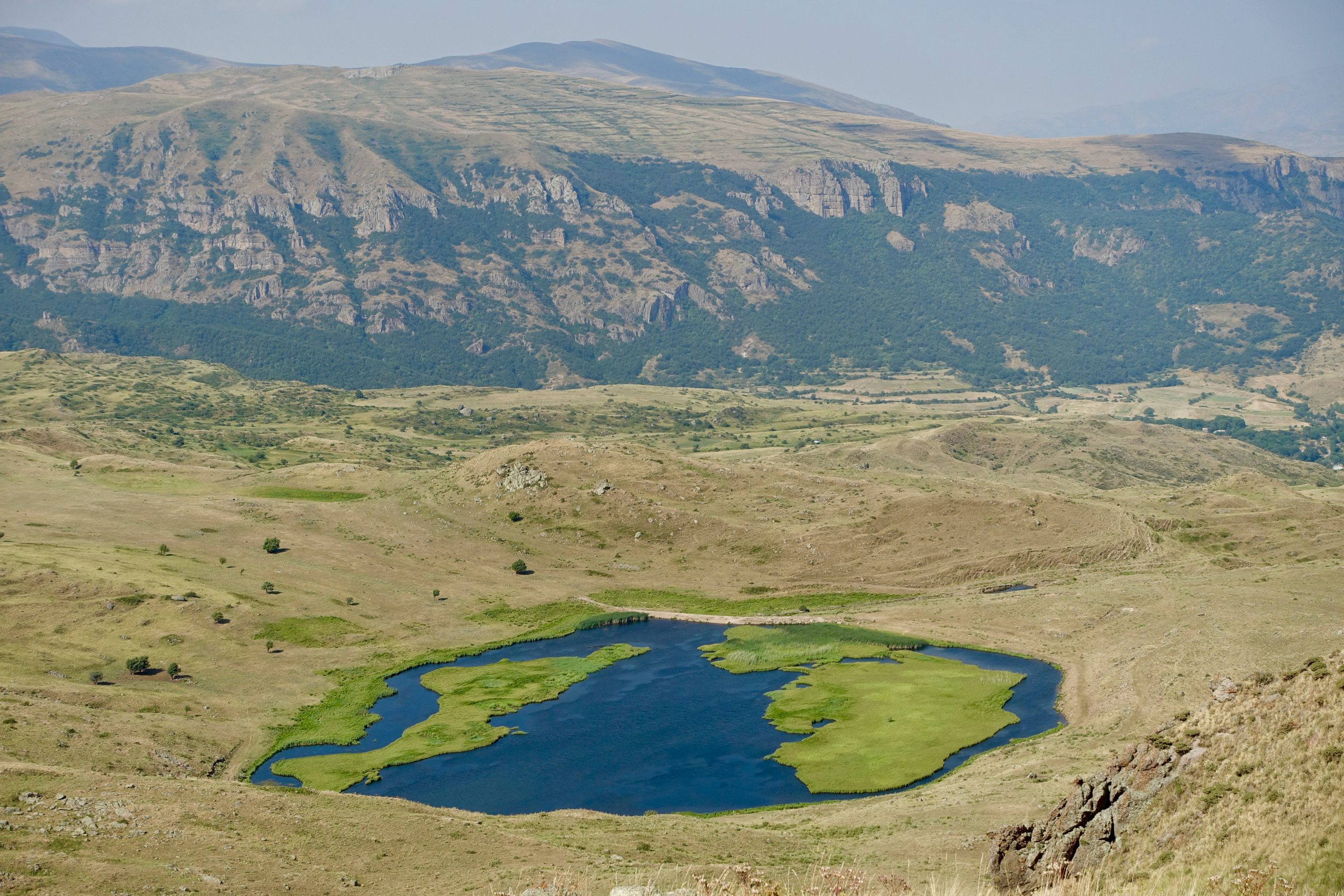
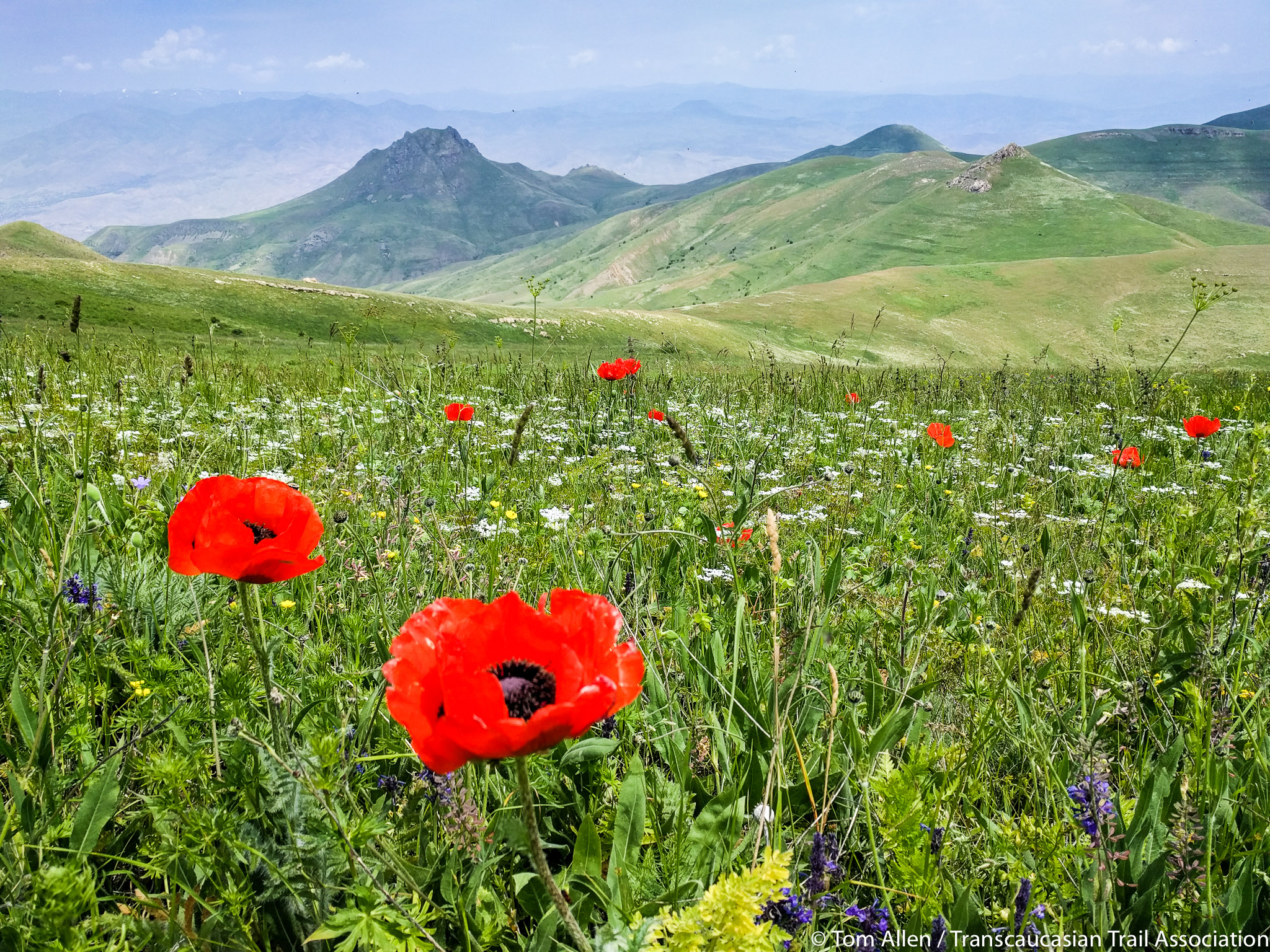
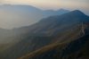
The Gegham Mountains
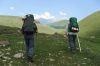
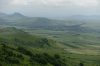
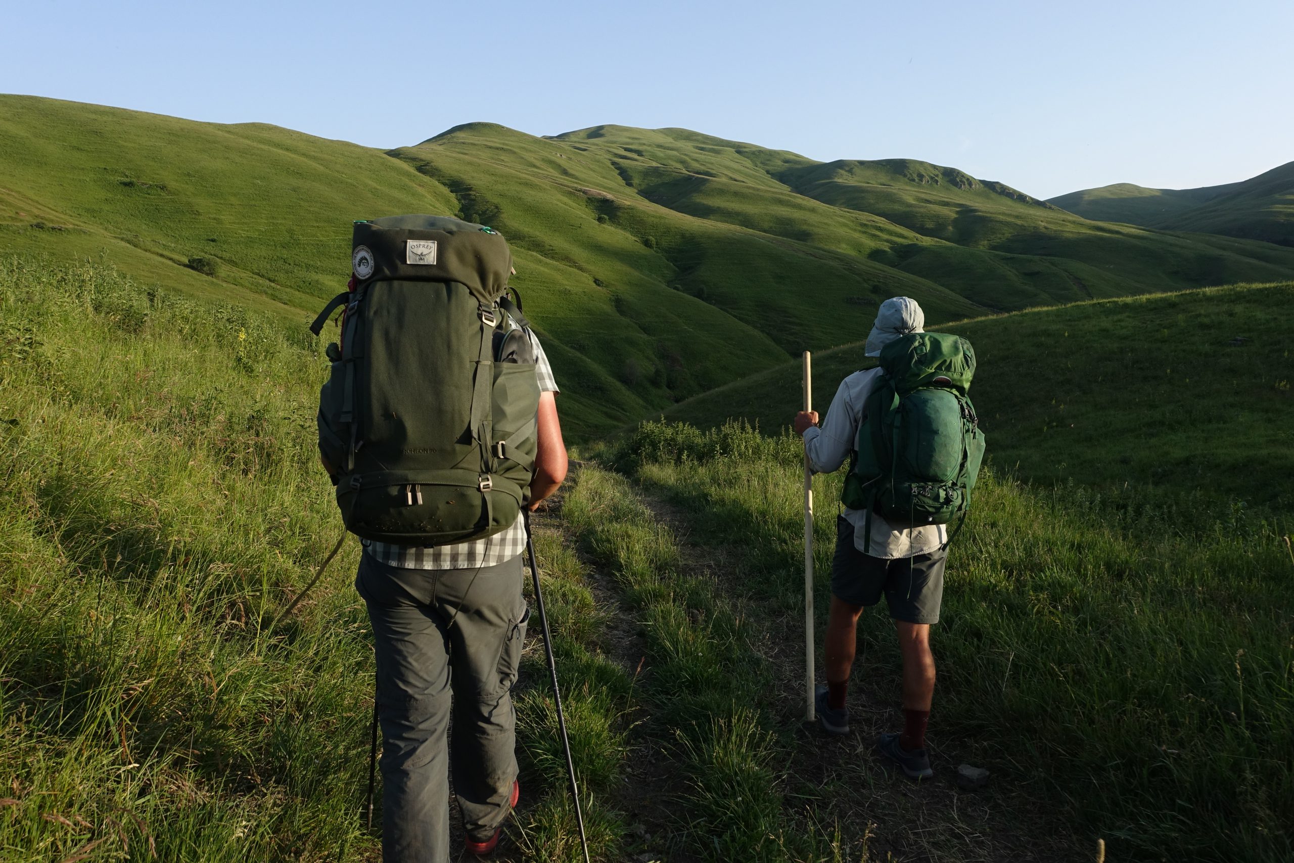
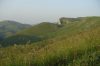
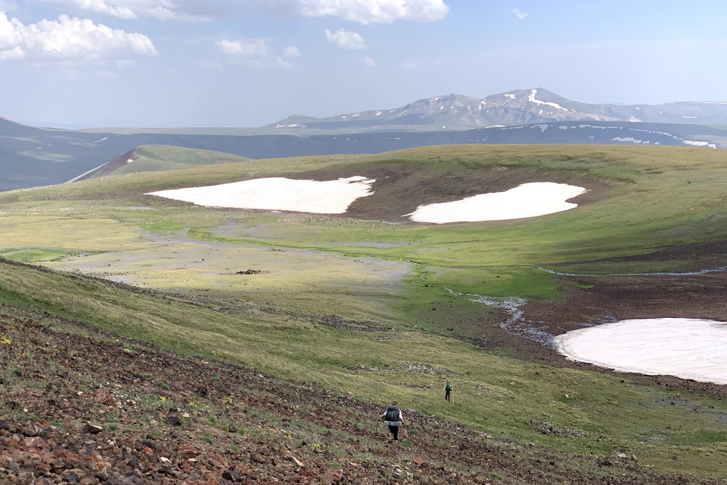
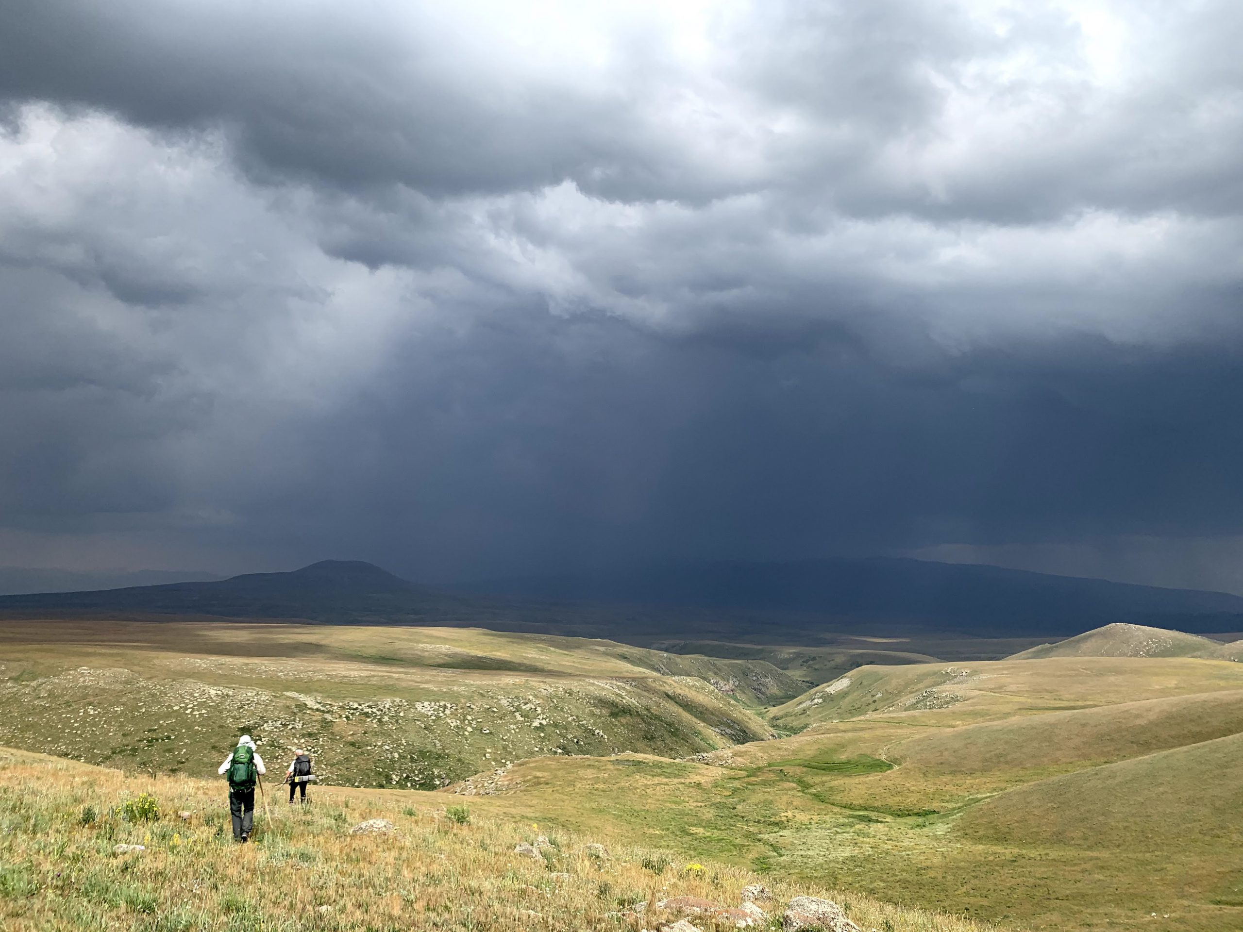
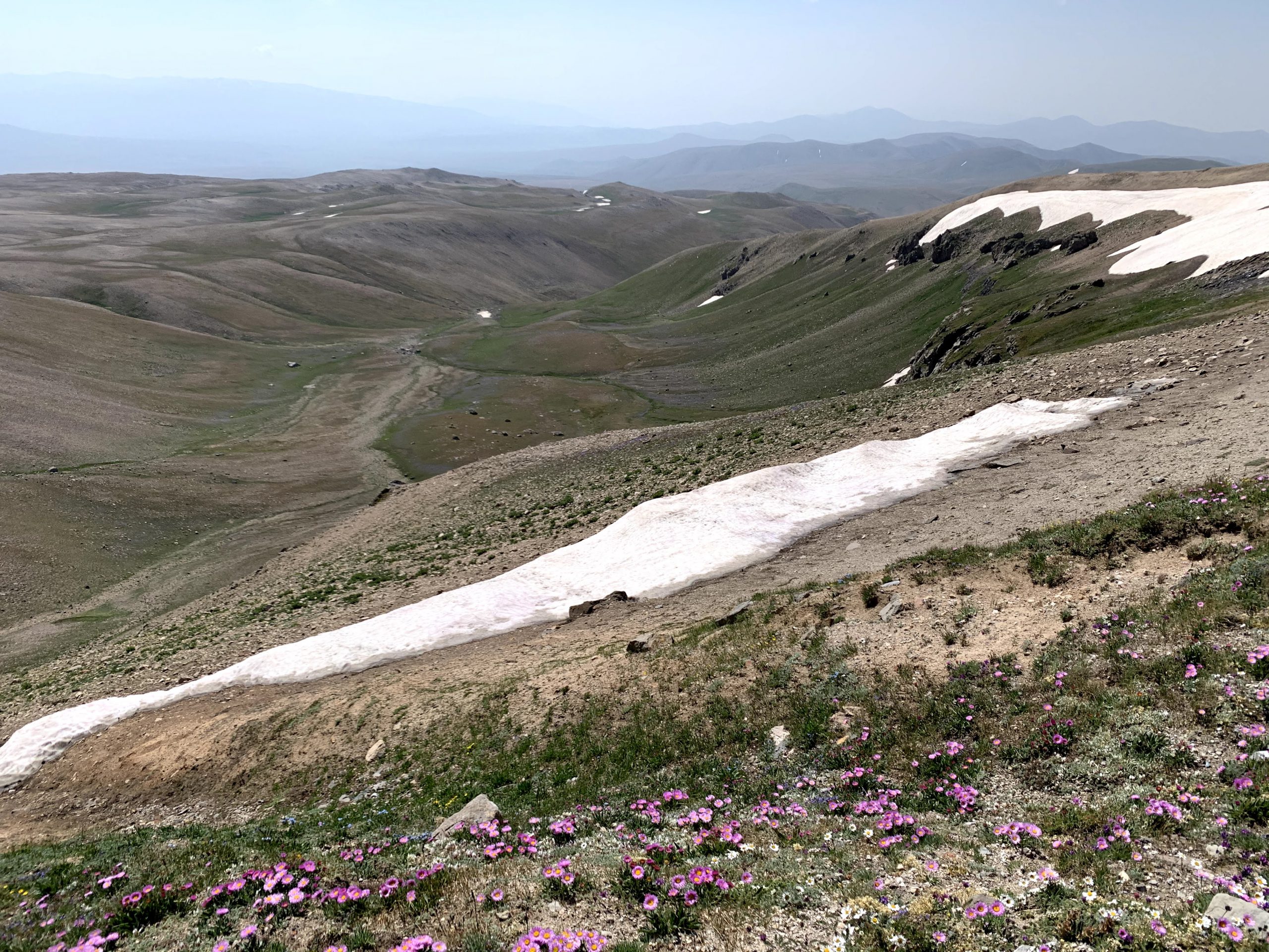
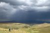
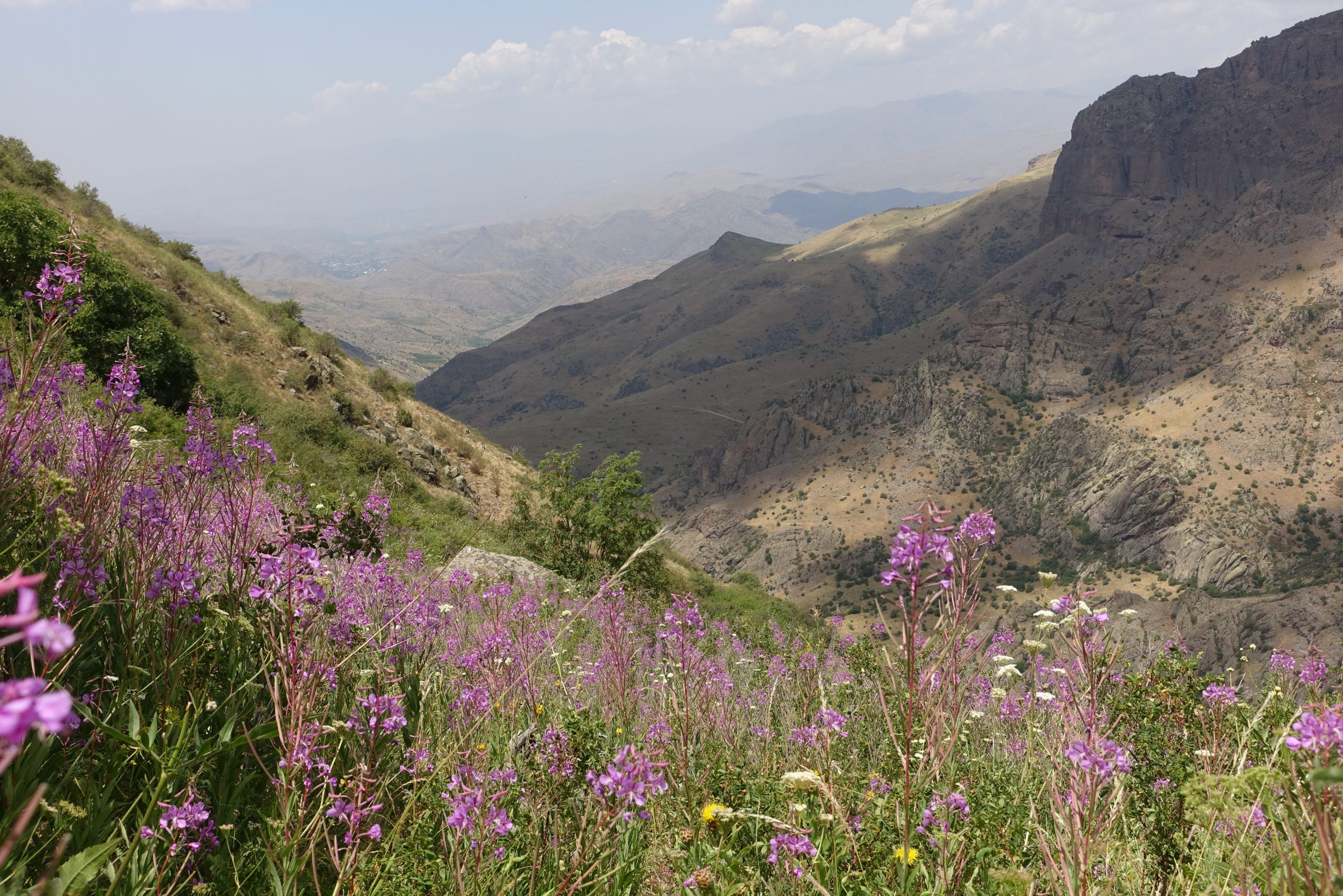
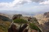
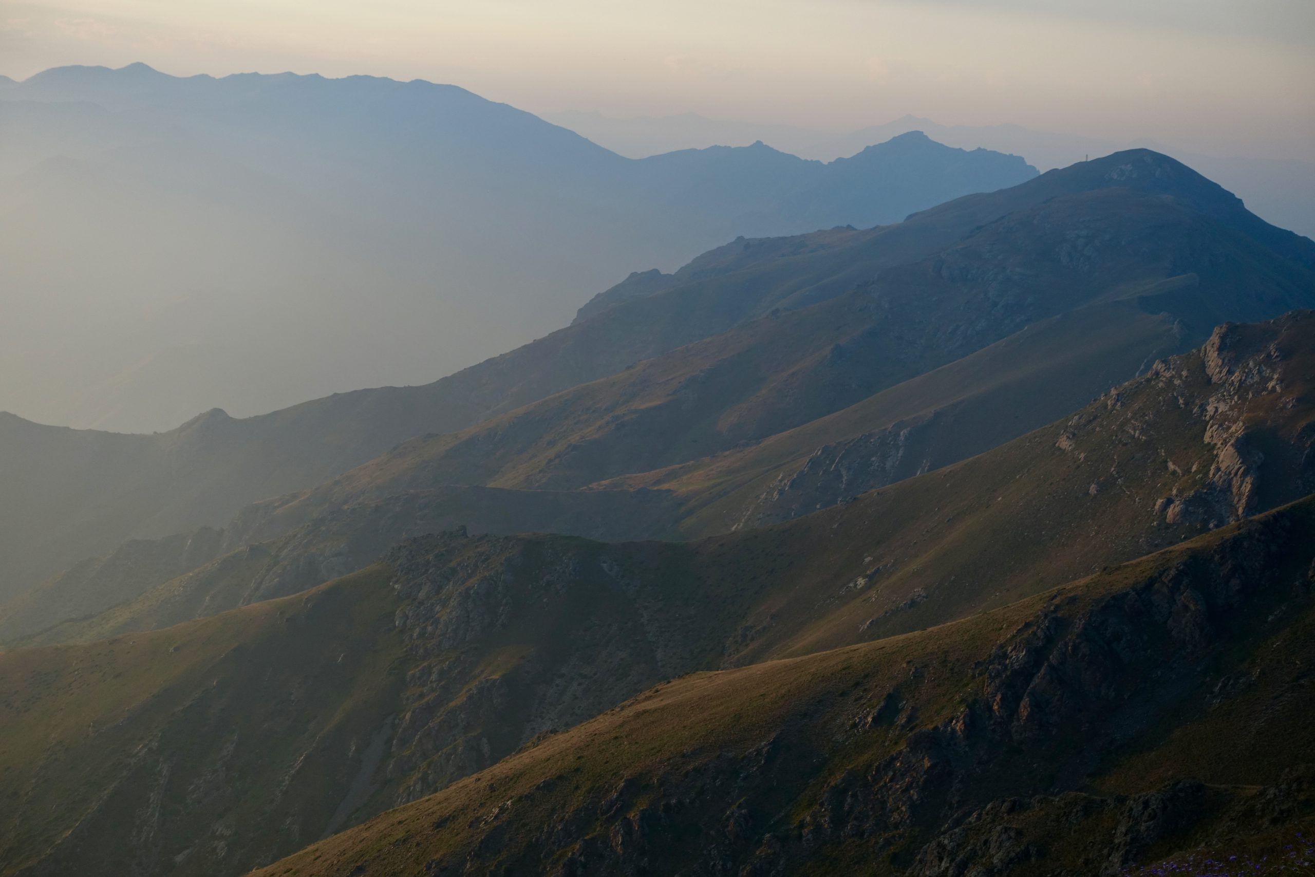
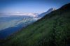
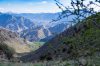
Descending from the ridge overlooking Lake Sevan, prepare for a long road walk through Sevan town and its outskirts up before a slow climb into the foothills of the Gegham range. But you’ll soon be rewarded with expansive views across the volcanic mountains, glimpses of Lake Sevan to the east, and (on a clear day) Mt. Ararat to the west. This is one of the most dramatic parts of Armenia– with panoramic views and thunderstorms to match.
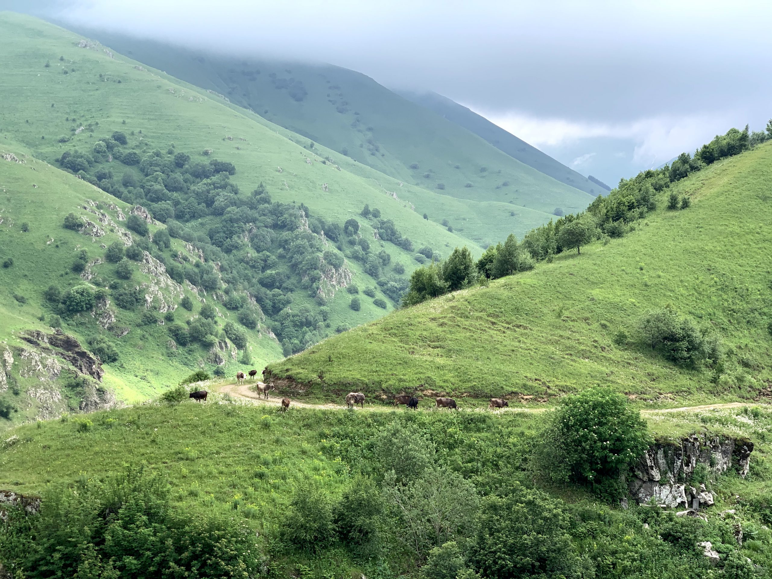
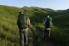
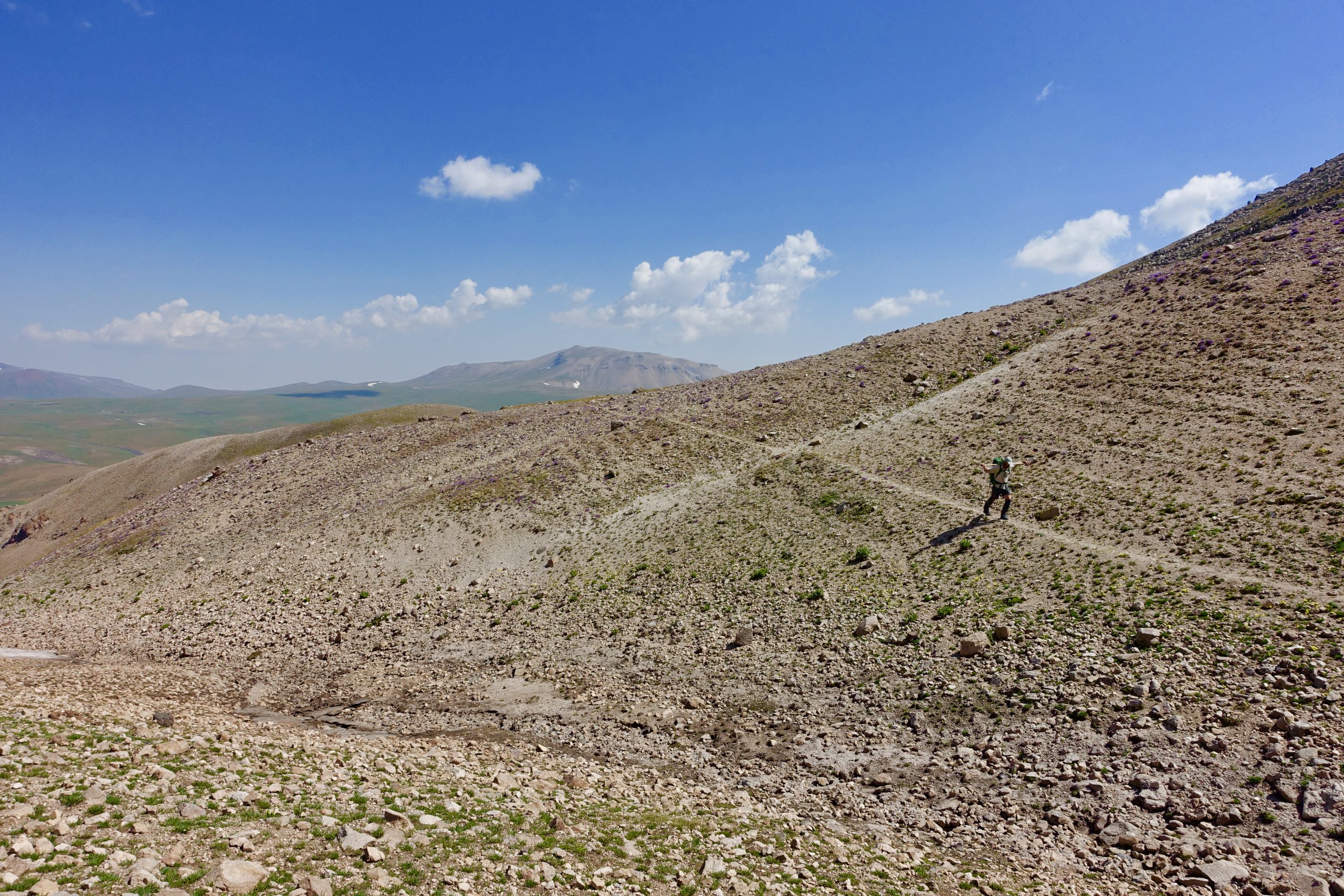
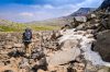
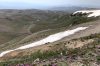
Large parts of the route through the Gegham ranges is open terrain, so be prepared to navigate without a trail. The route consists of a mixture of 4×4 tracks, animal trails, open steppe, scree slopes, boulder fields and lava flows.
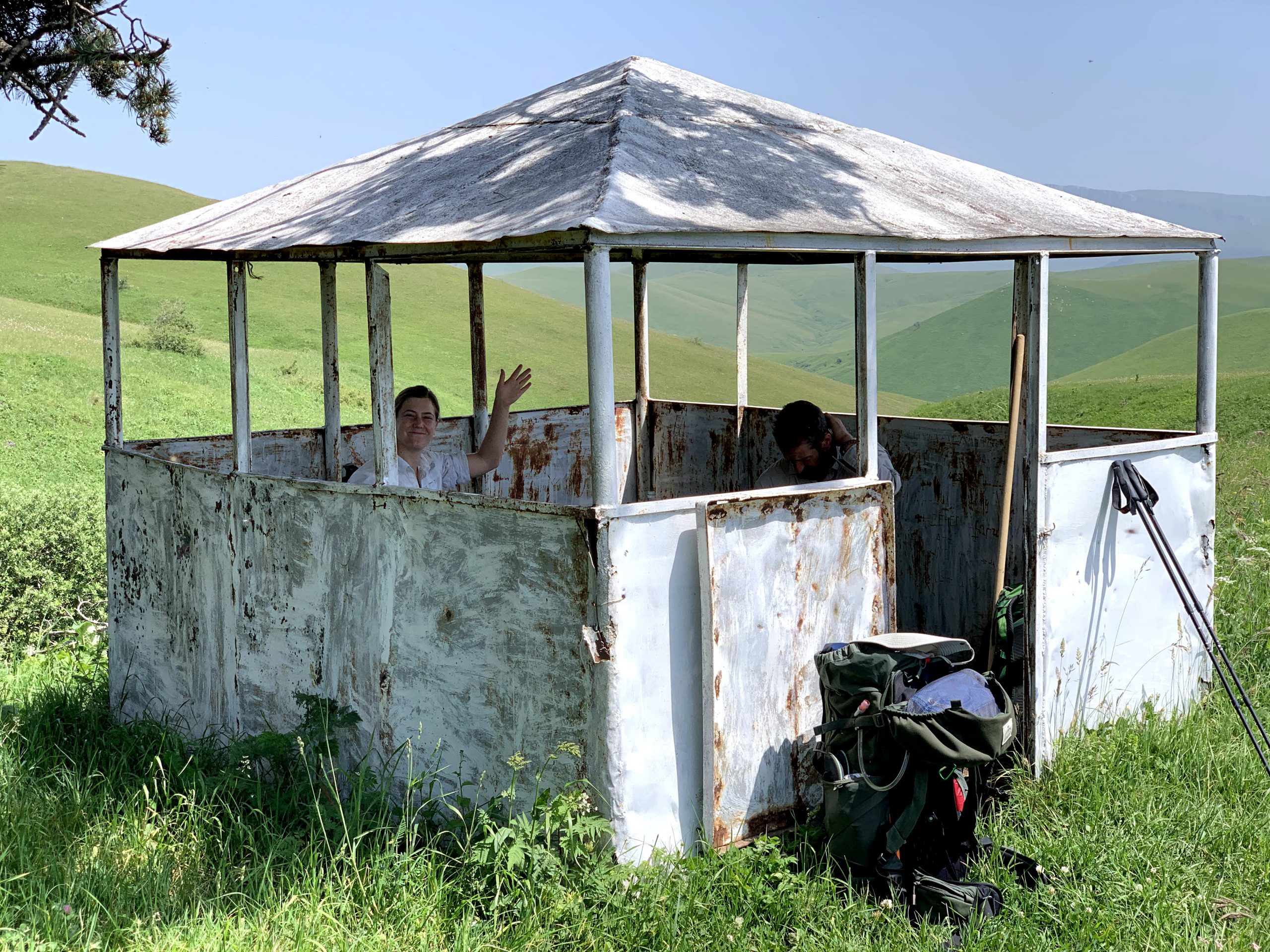
Depending on the season (see above), you may also have to contend with snowfields and/or limited water sources. This is one of the most remote parts of the country, although you are also likely to encounter several nomad camps along the way.
More information on the section through the Gegham range here.


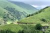
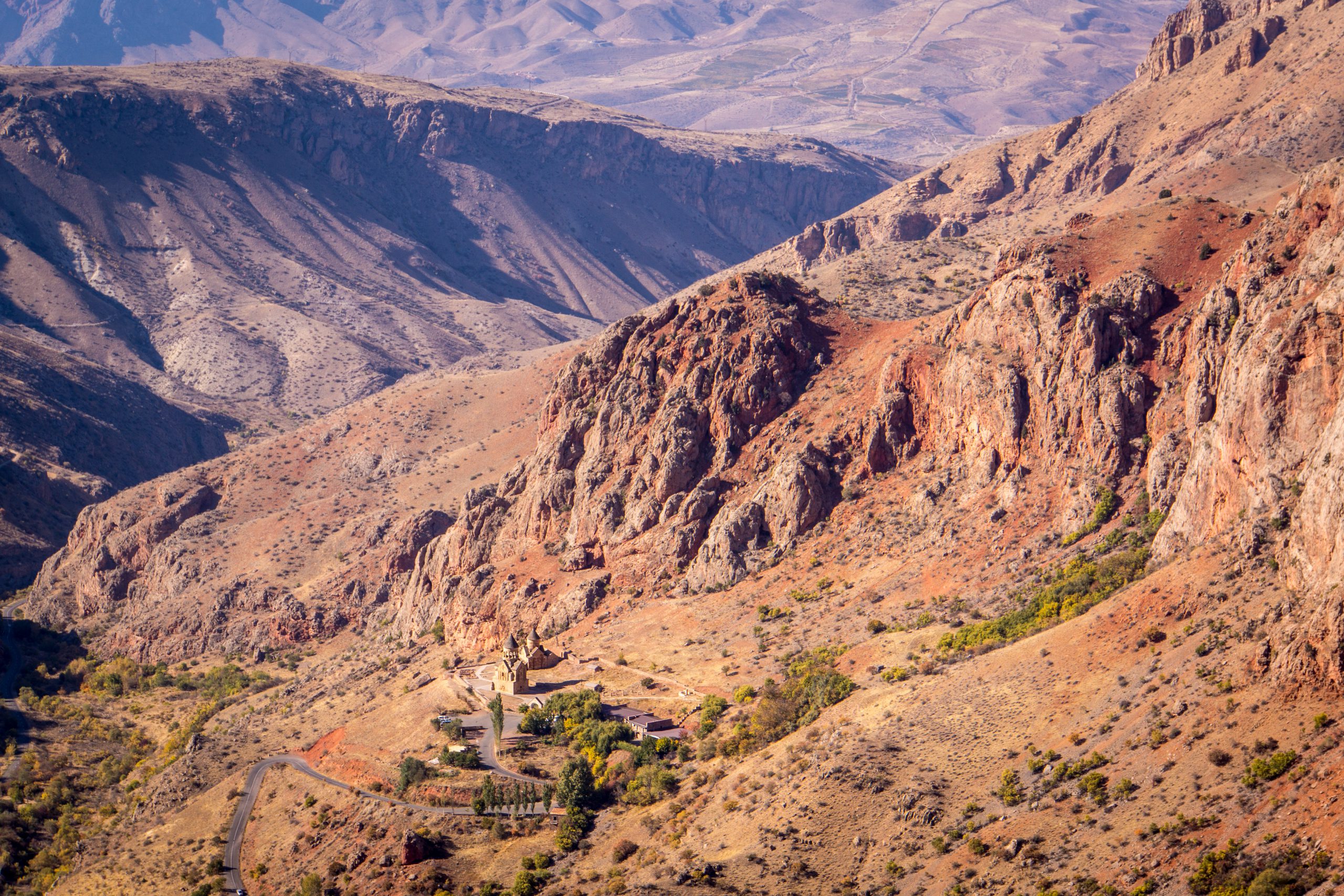
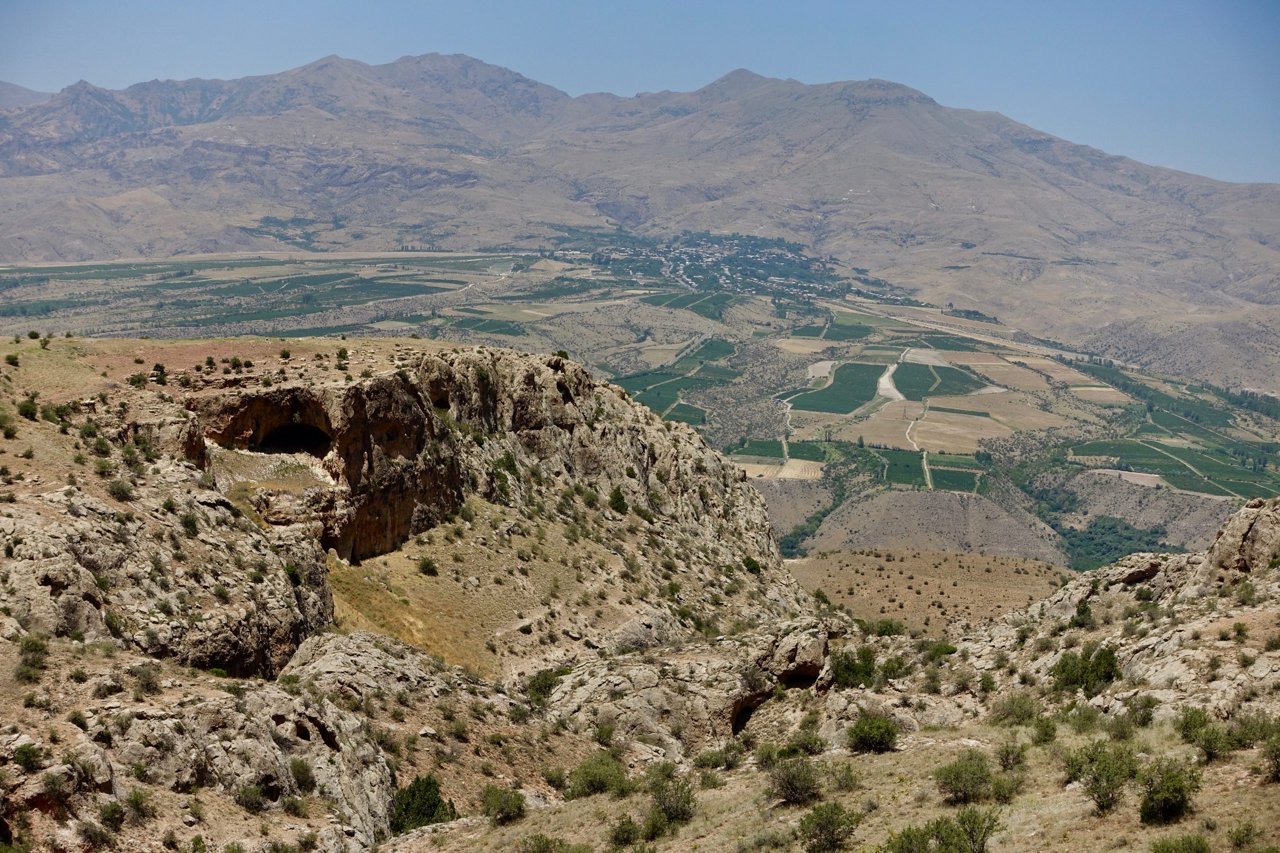
Vayots Dzor
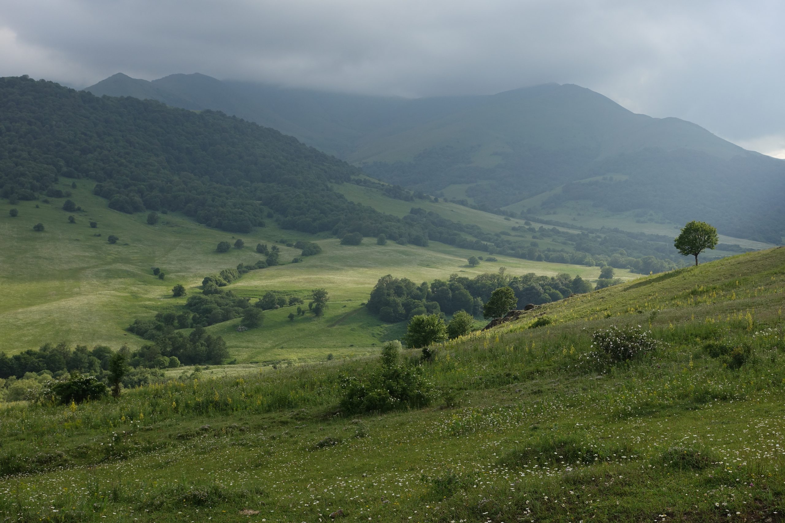
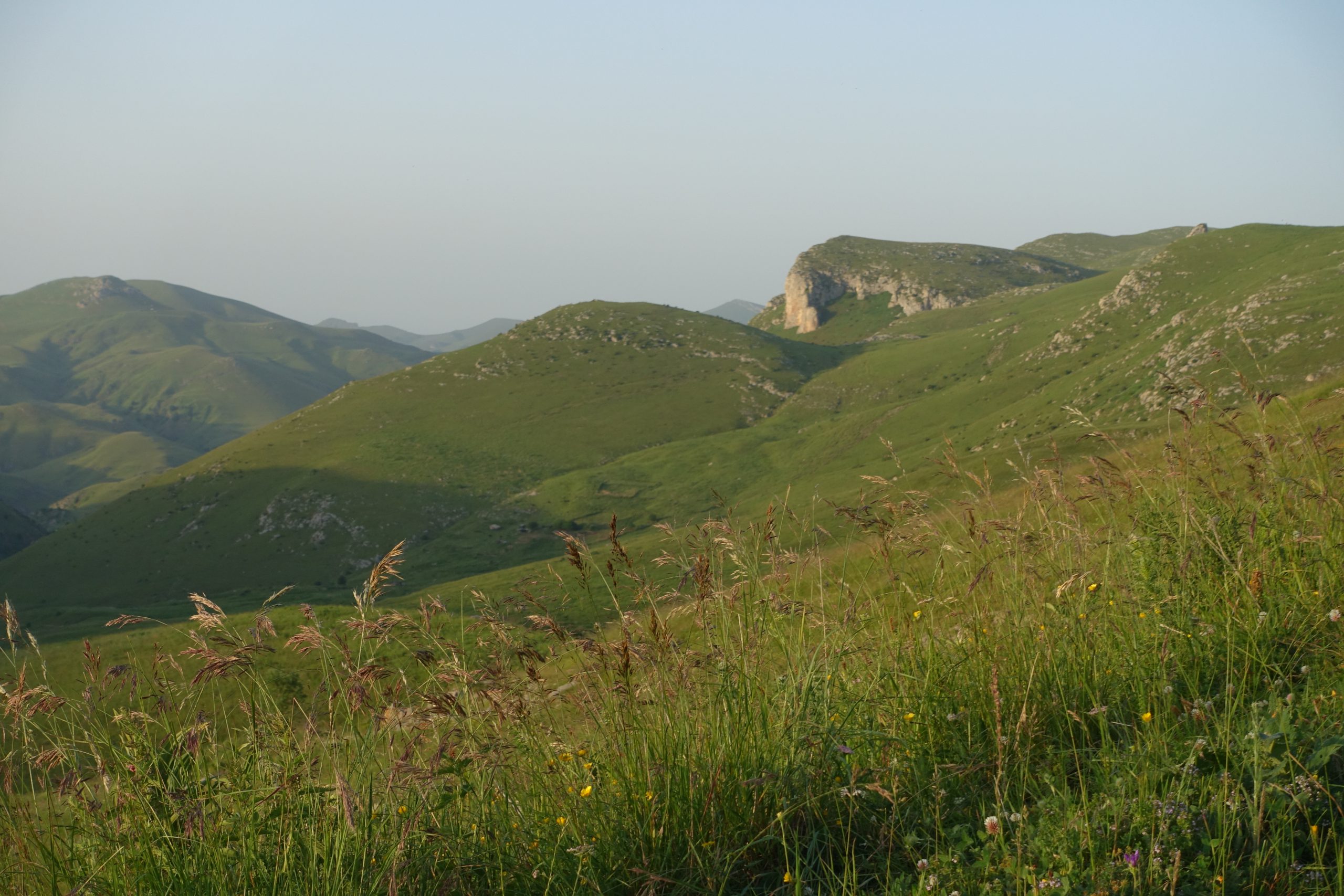
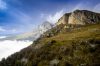
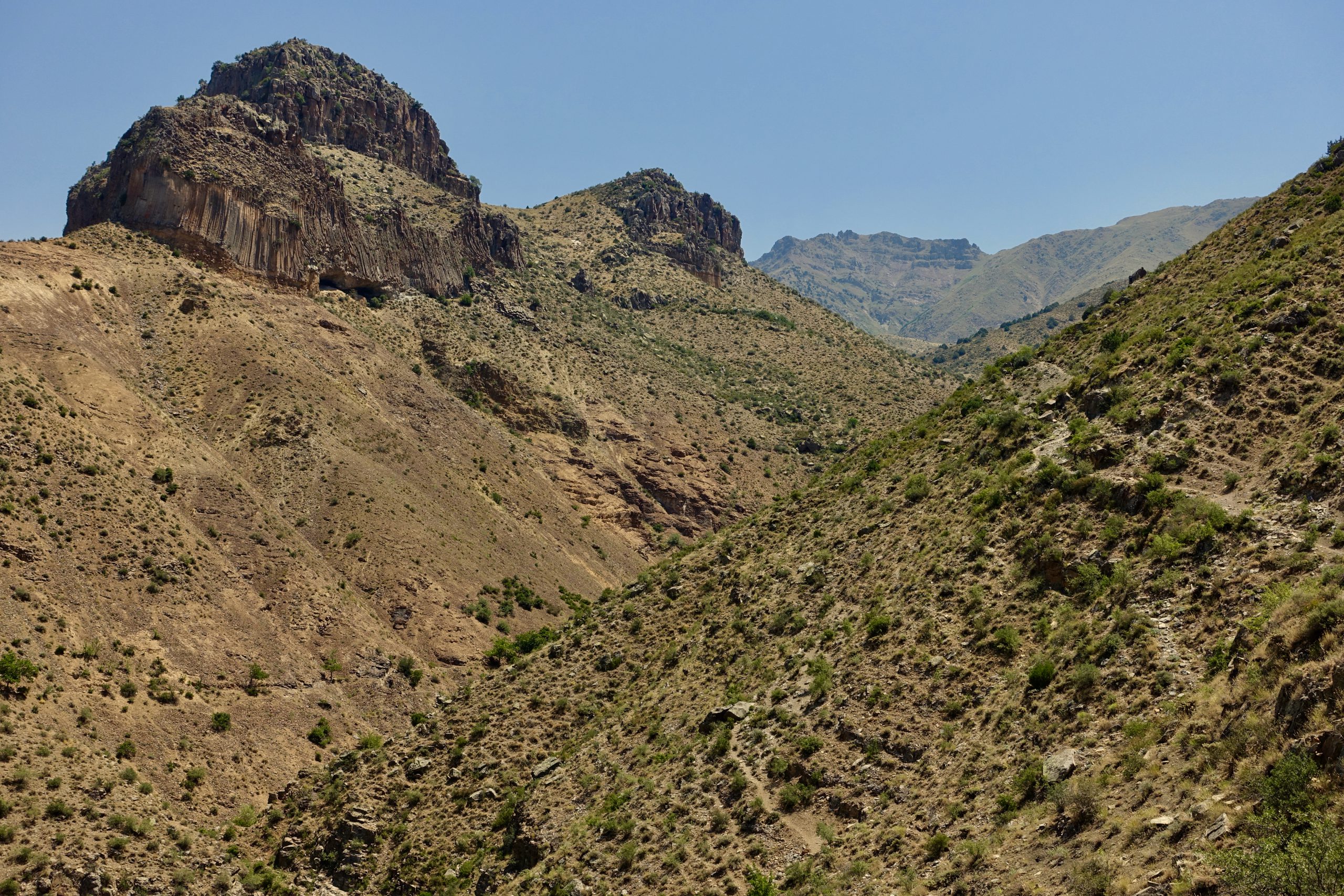
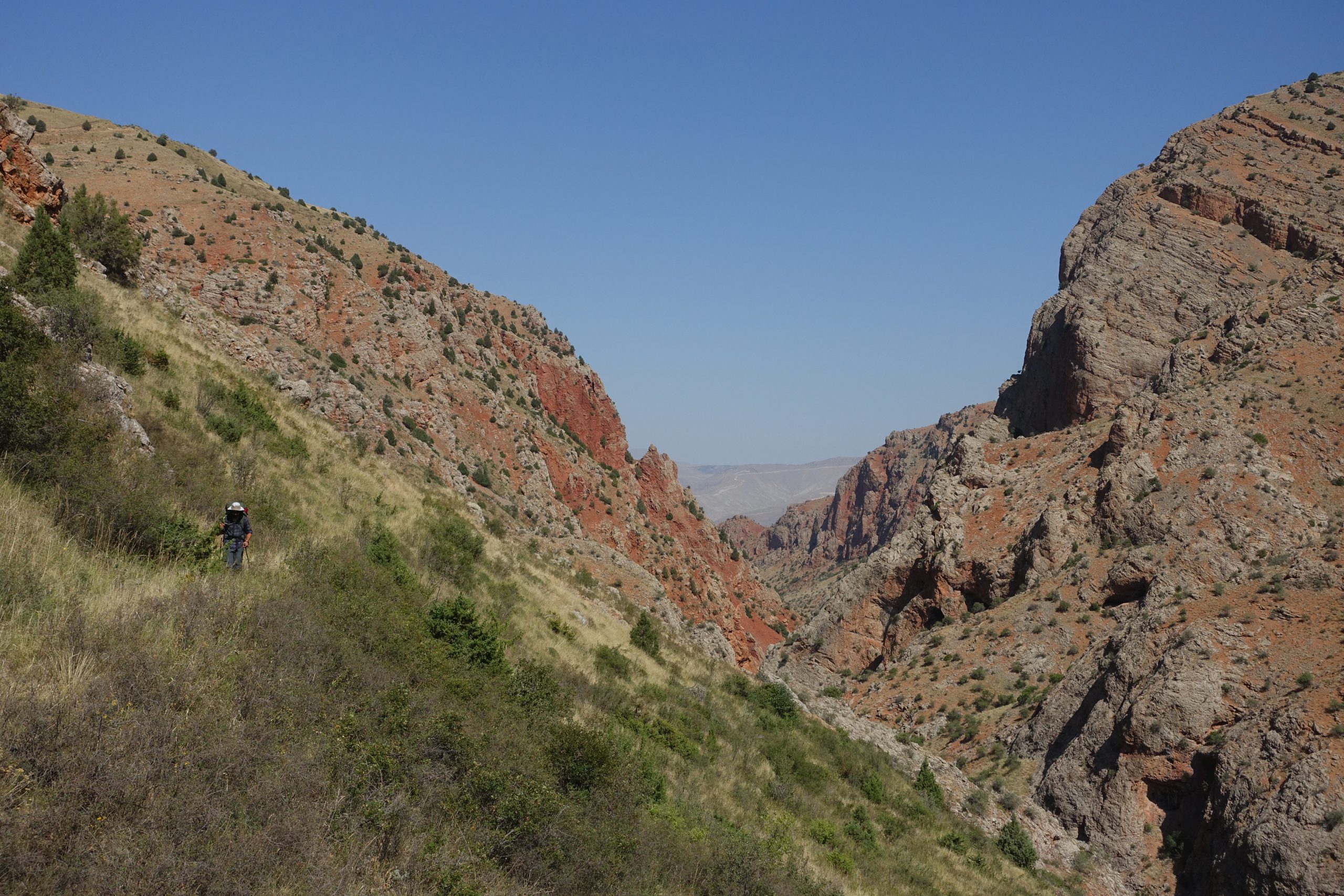
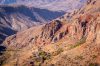
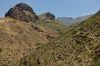
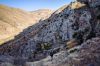
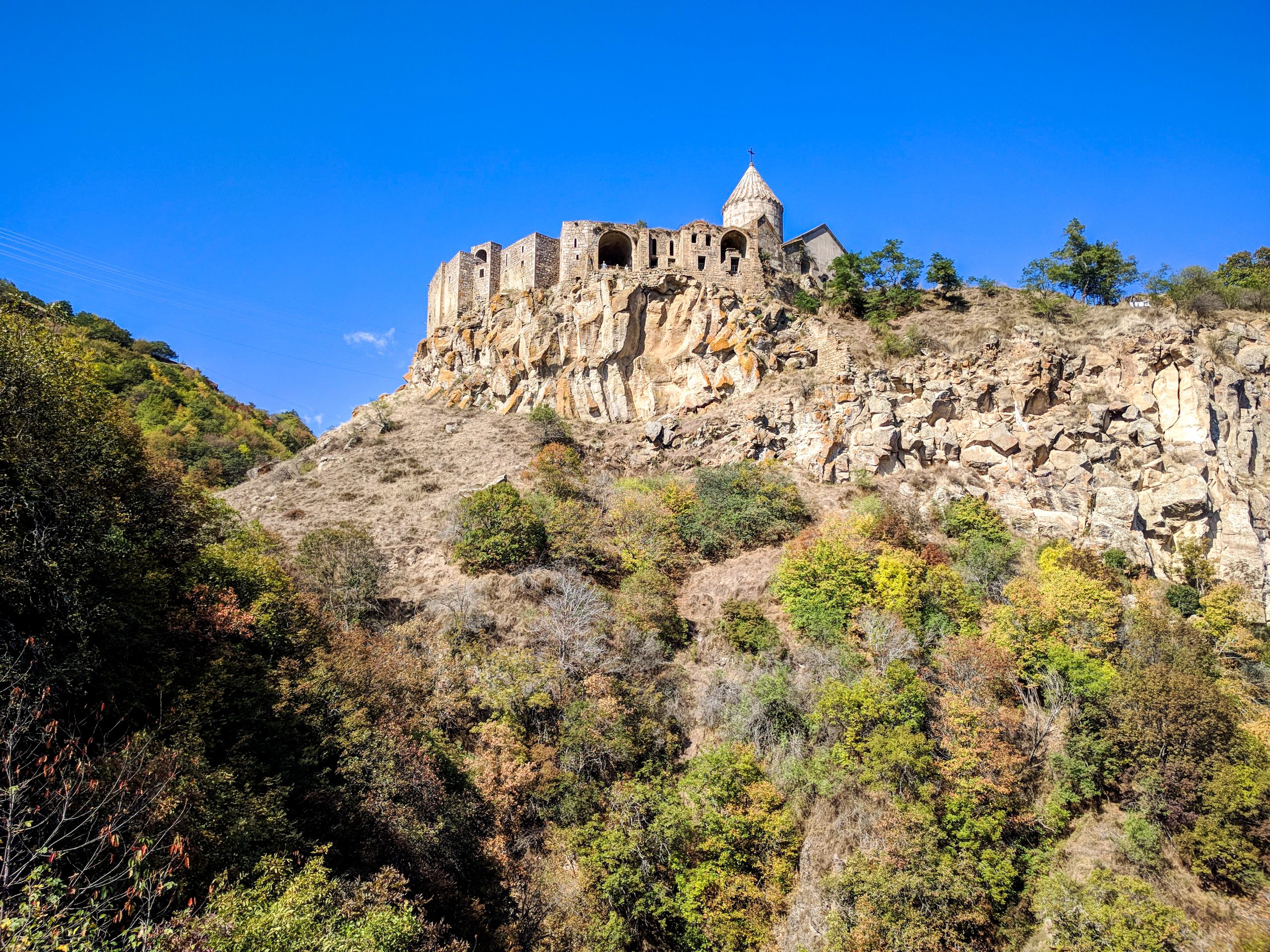
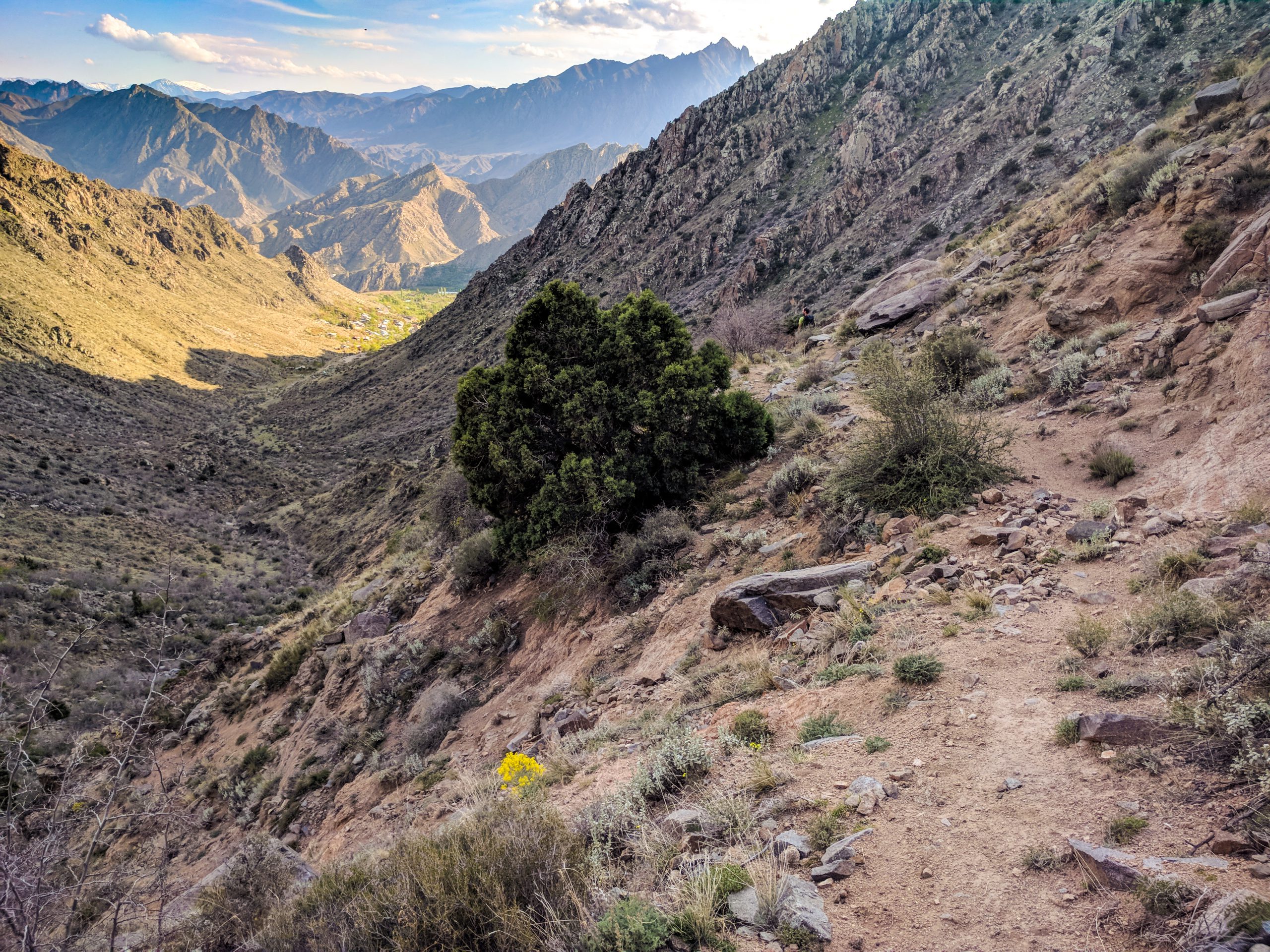
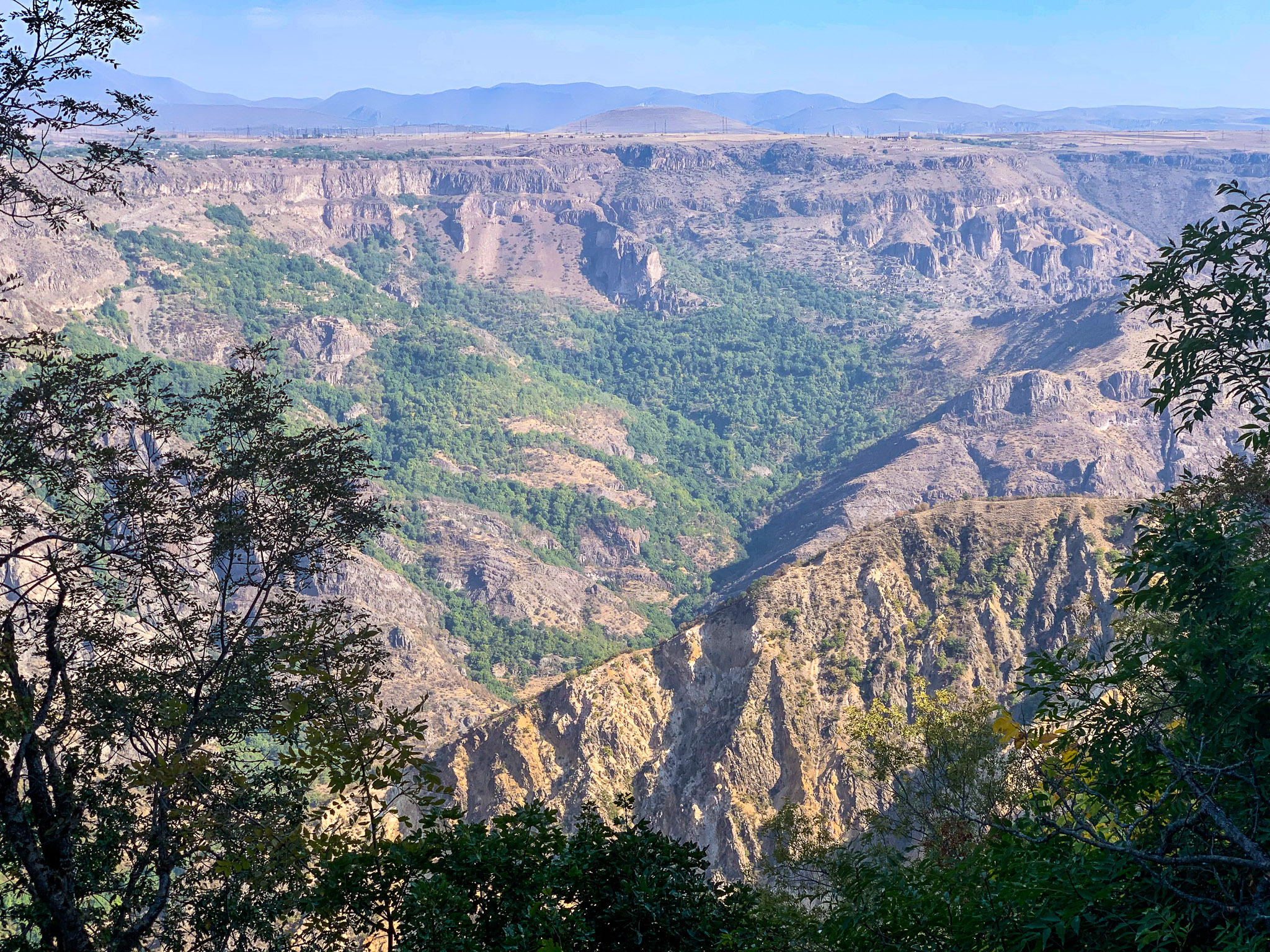
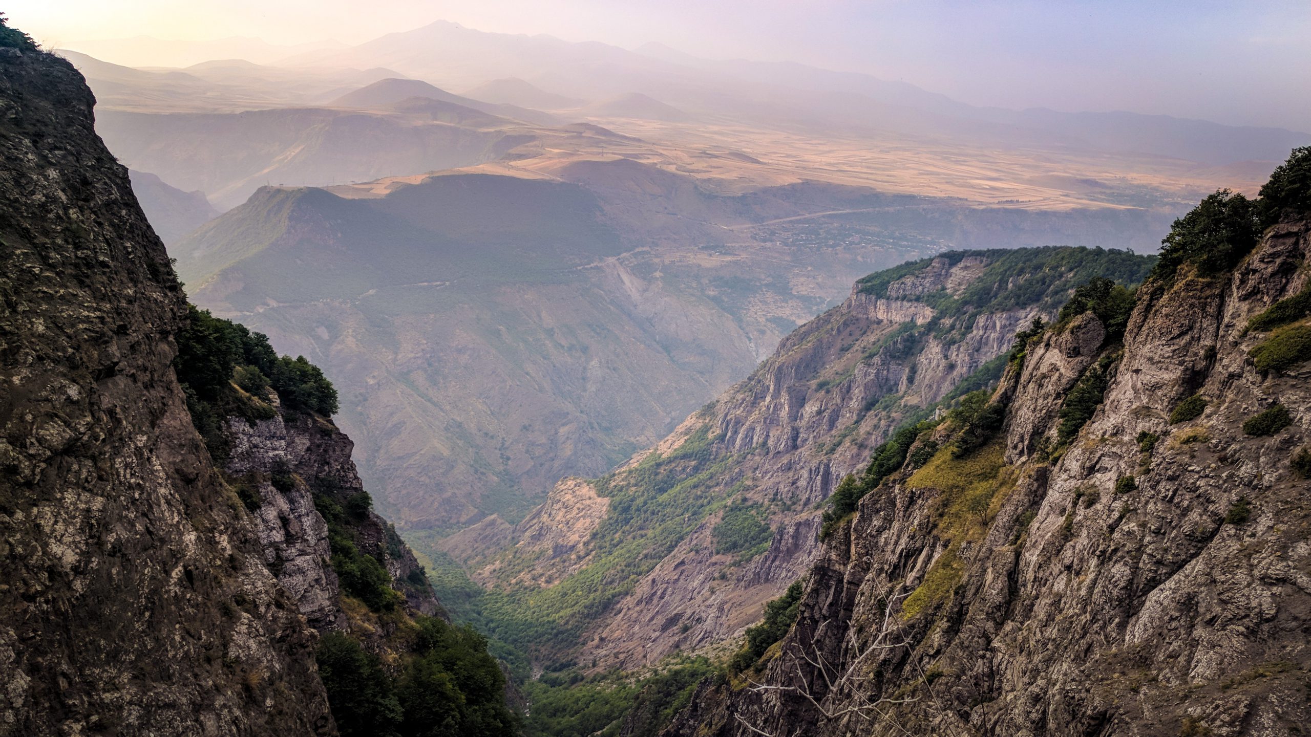
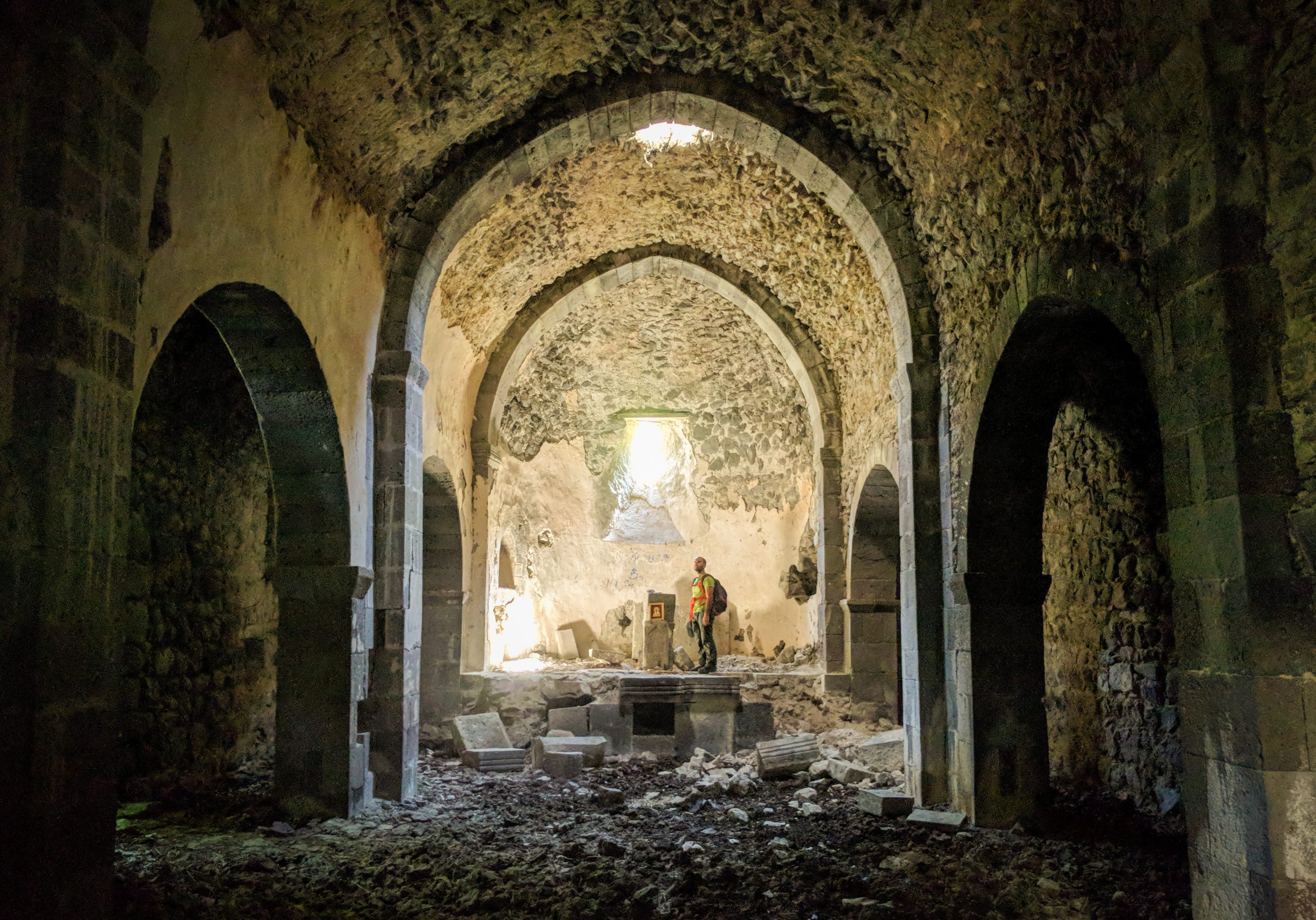
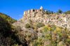
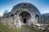
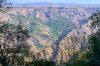
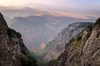
Crossing from the Gegham range into Vayots Dzor, the terrain changes sharply as green hills give way to sharp cliffs and rocky canyons. Along the route you’ll find several ancient monasteries tucked into cliff sides, and some spectacular ancient trails that have been cleared through the striking red canyons.
The TCT route through this section uses jeep tracks as well as several ancient trails that have been cleared, improved, and marked. You should prepare for overgrown trail conditions, as the condition of these trails can vary depending on the season.
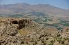
For southbound hikers, Yeghegnadzor is the first major town you’ll reach after your backcountry traverse through the Geghams. For northbound hikers, it’s your last chance to resupply. Either way, the traveler-friendly oasis of Crossway Camping makes a great spot for a rest day before tackling a challenging and mostly off-trail route to the world-famous Noravank monastery (or, for northbound hikers, to recoup after!).
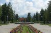
Between Yeghegnadzor and the border of Syunik, the trail follows a circuitous route to take you through a few spectacular days of cliffs, valleys and remote villages. The town of Jermuk is famous for its mineral water and sanatoriums– if you want to visit, you can take an out-and-back side trail.
More information on the Vayots Dzor section here. Route updates are forthcoming, but the practical information still applies.
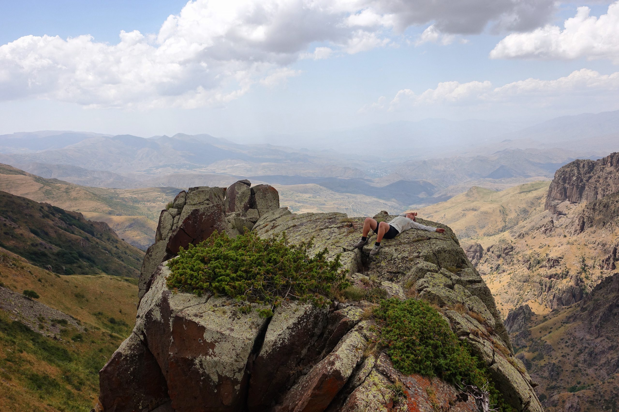


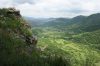
Syunik
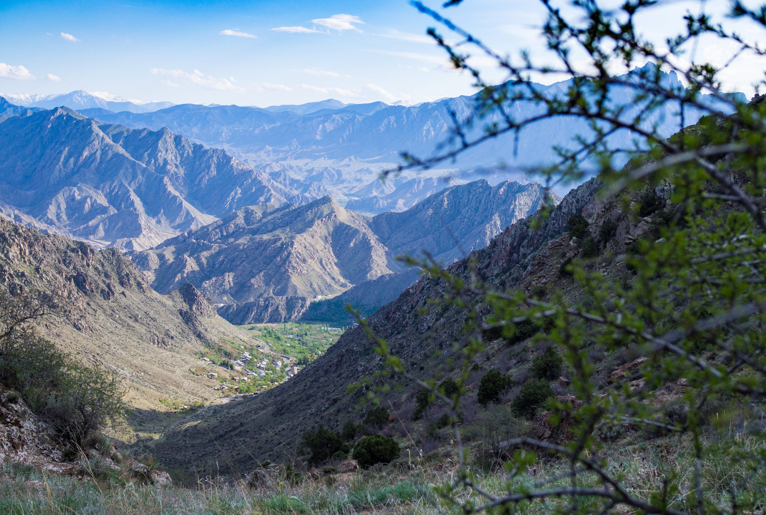
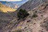
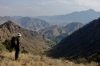
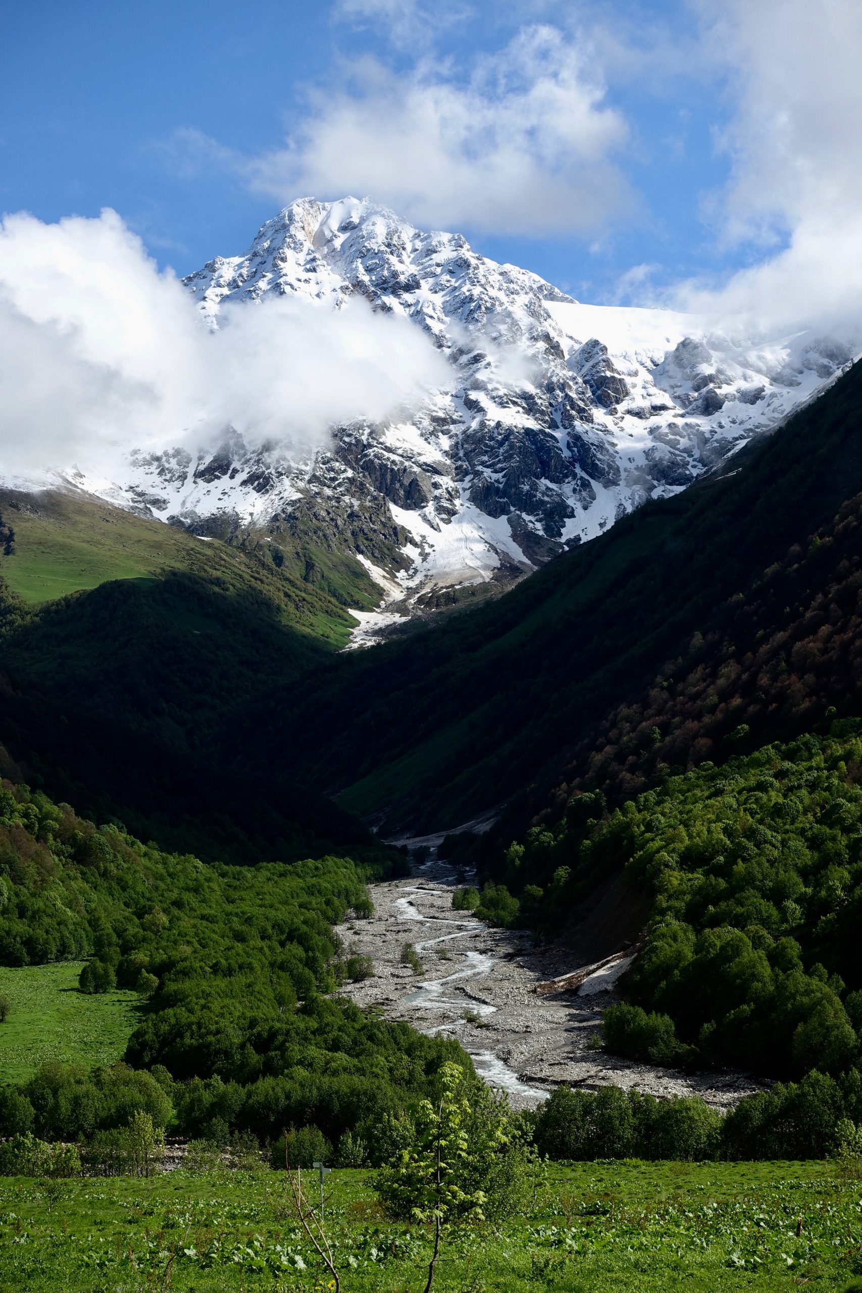
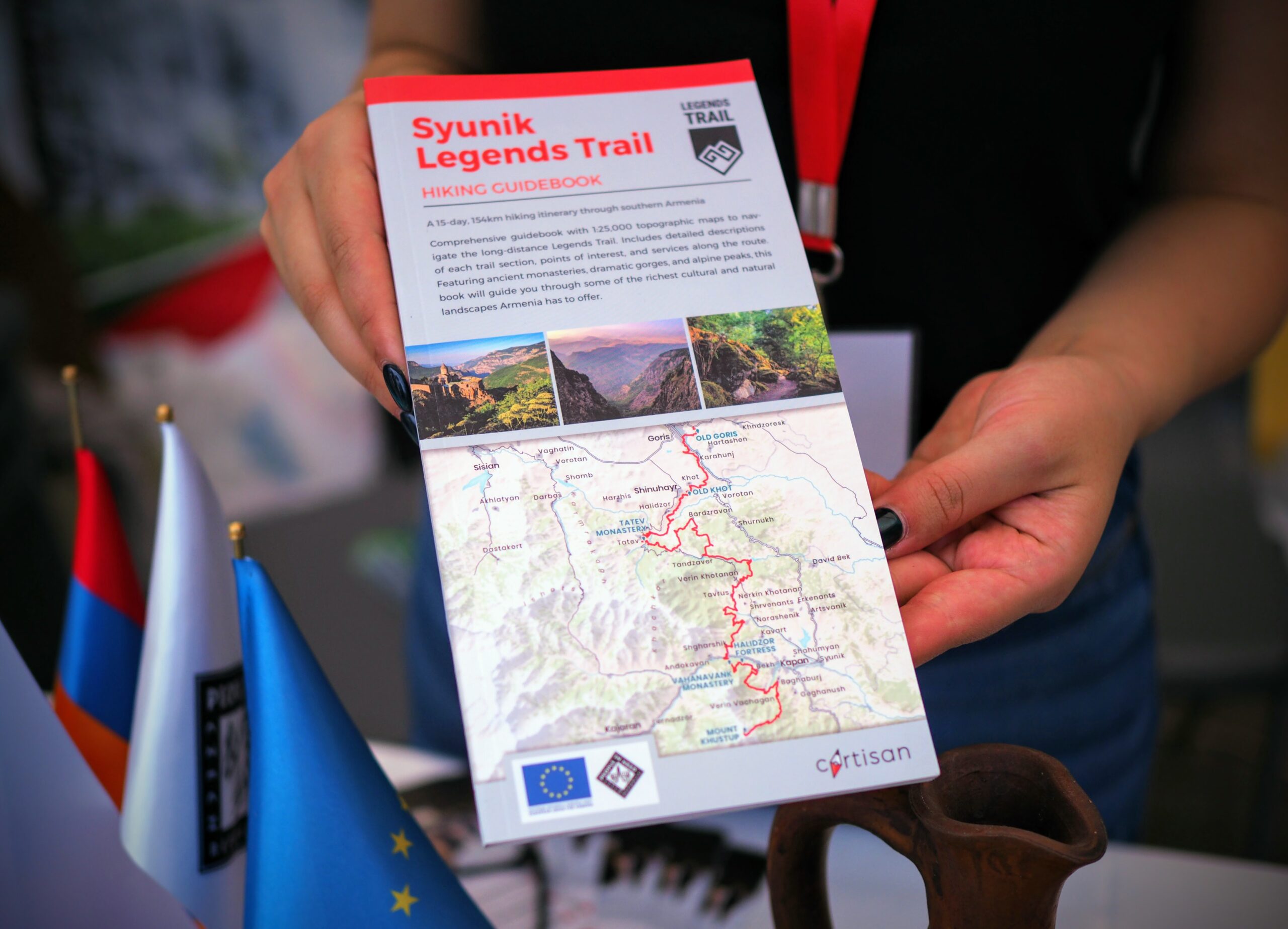
Armenia’s southernmost province really shows off its diversity, from high grasslands to deep canyons to rocky alpine terrain to desert scrub. You’ll soon meet up with the Legends Trail, a 154-km regional route through Syunik which largely overlaps with the TCT. More info on that here.
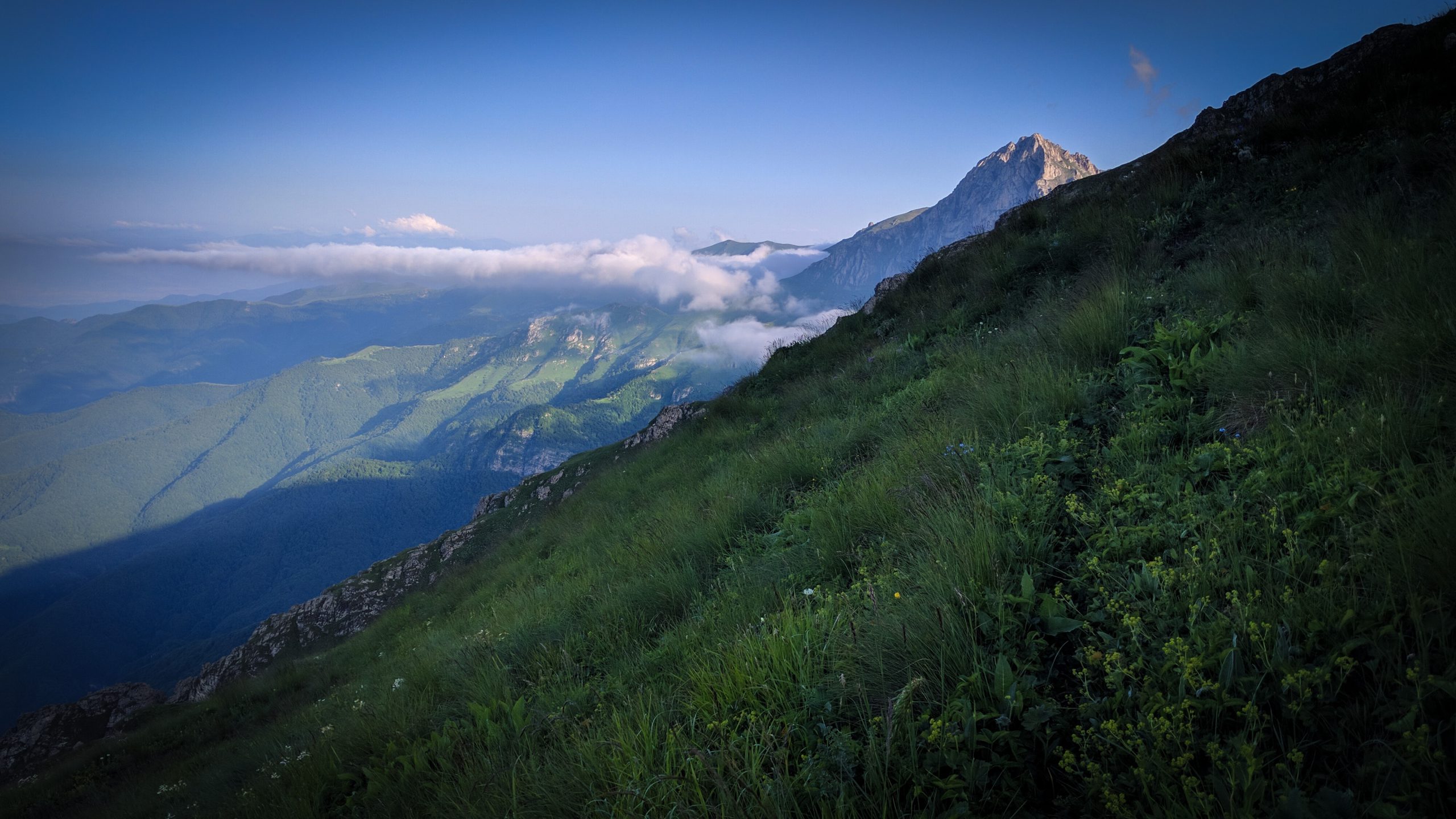
Winding south, the route will take you by the large Shaki waterfall, the extensive and well-restored Tatev monastery, and the dramatic Vorotan canyon before reaching the foothills of Mt. Khustup, which dominates the landscape of southern Syunik. The climb up Khustup is steep but spectacular, and the short scramble to the summit is well worth it.
The trail through Syunik has lots of singletrack, largely comprised of ancient trails that have been mapped and improved. Be prepared for possible overgrown trail conditions, depending on the season. As you hike, with a sharp eye you’ll also notice a few land art installations around the trail, thanks to a creative community of artists in the village of Tandzaver.
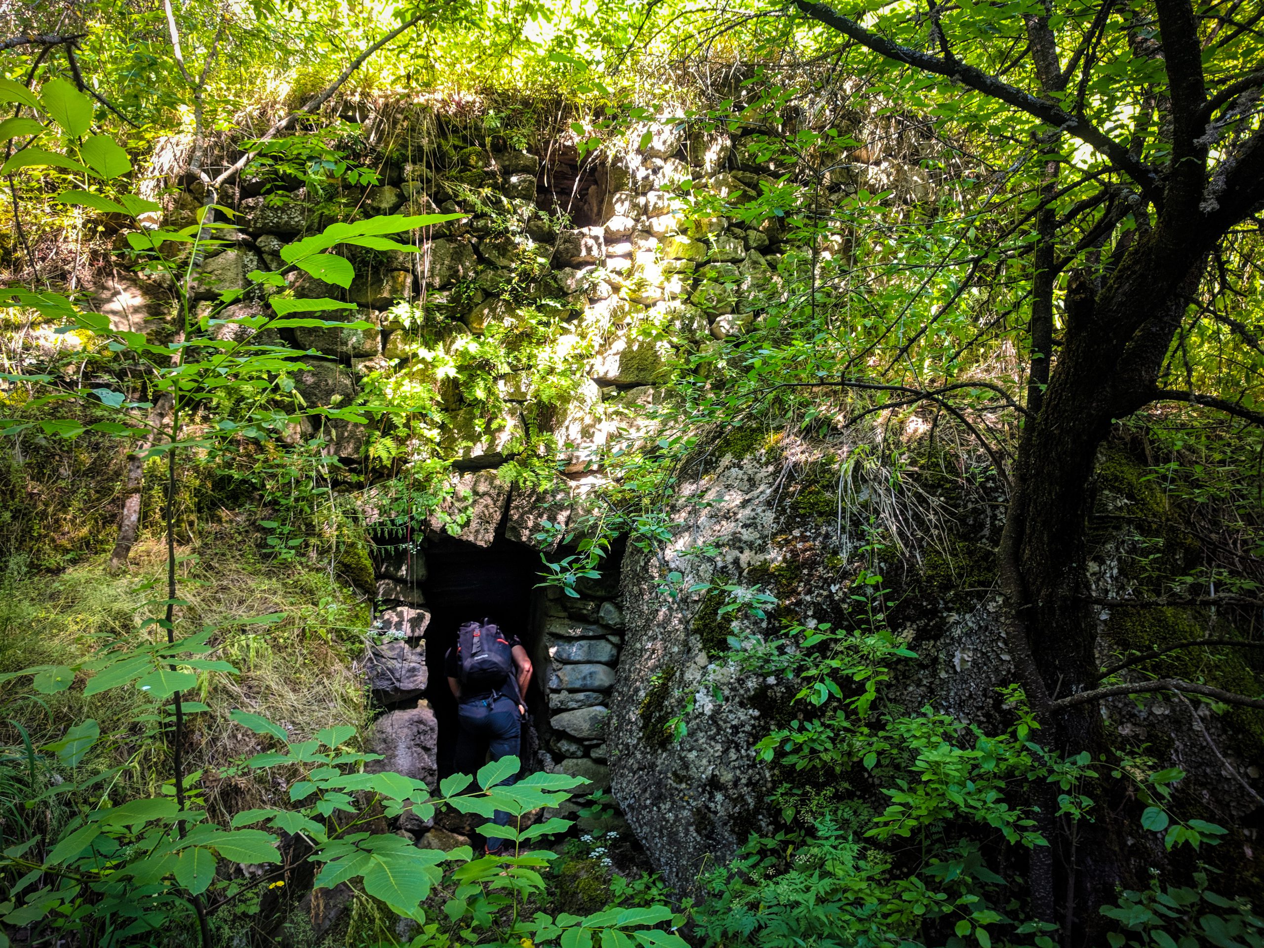
There are also lots of worthwhile detours that are not along the main route, including the ancient Stonehenge-like archeological site of Karahunj (near Sisian), the spectacular Devil’s Bridge cave network (near Tatev), the Magic Forest land art trail (in Tandzaver), and the distinct rock formations around Goris.
The cities of Sisian and Kapan both make excellent resupply points.
Southeast of Khustup, the route continues along the fringes of Shikahogh State Reserve and into Arevik National Park, where the trail transitions from magnificent oak groves into dry, open terrain.
The route through Arevik National Park is still in development and not exactly ready for casual hikers; it is currently a very challenging and thorny bushwhack through thorny brush. But when opened, it will be one of the most spectacular and unique sections of the TCT.
Keep your eyes out for vipers– although this can be challenging when views far into Iran’s mountains distract at every turn!
The southern terminus of the TCT is Meghri, a small city ringed by rocky peaks that serves as Armenia’s southern gateway. Enjoy the start of your journey, or your well-earned rest– unless, of course, you’re now ready to turn around and hike the other direction!


Become one of the first thru-hikers on the full Transcaucasian Trail route through Armenia & Georgia
Got more questions? Excited about the route and want advice during your planning process? We’re seeking intrepid, experienced hikers to be some of the earliest thru-hikers on the brand-new 1,500km North-South Transcaucasian Trail route through Armenia and Georgia. In 2023, we’ll be running the second year of the TCT Trailblazers, a new hiker membership program to support them in the planning process.
You’ll have the privilege of being one of the first hikers on this new long-distance trail, and you’ll have the opportunity to help shape its future along the way.
Menu
Route Downloads
Recommended Apps
You can also find this trail on the following hiking and navigation platforms:

Printed Resources
Browse & buy official topo maps & guidebooks for sections of the Transcaucasian Trail in Armenia from our partners at Cartisan.org.
Partners & Donors
This national stage of the Transcaucasian Trail was developed between 2016–2022 by the TCT Armenia NGO with the support and cooperation of many partners and donors, most notably the UK’s Royal Geographical Society (with IBG) and Land Rover, Caucasus Nature Fund, HIKEArmenia, Trails For Change, and People In Need Armenia (in partnership with ARK Armenia and with funding from the European Union), as well as many individual donors to the Transcaucasian Trail Association. Click the logos below to find out more.
To become a TCTA member and support our ongoing efforts to develop and improve the Transcaucasian Trail, join here.
