The following notes describe what you’ll encounter along the trail. They’re written in the direction of travel from south to north, but the stage can be hiked in either direction.
Stage Overview
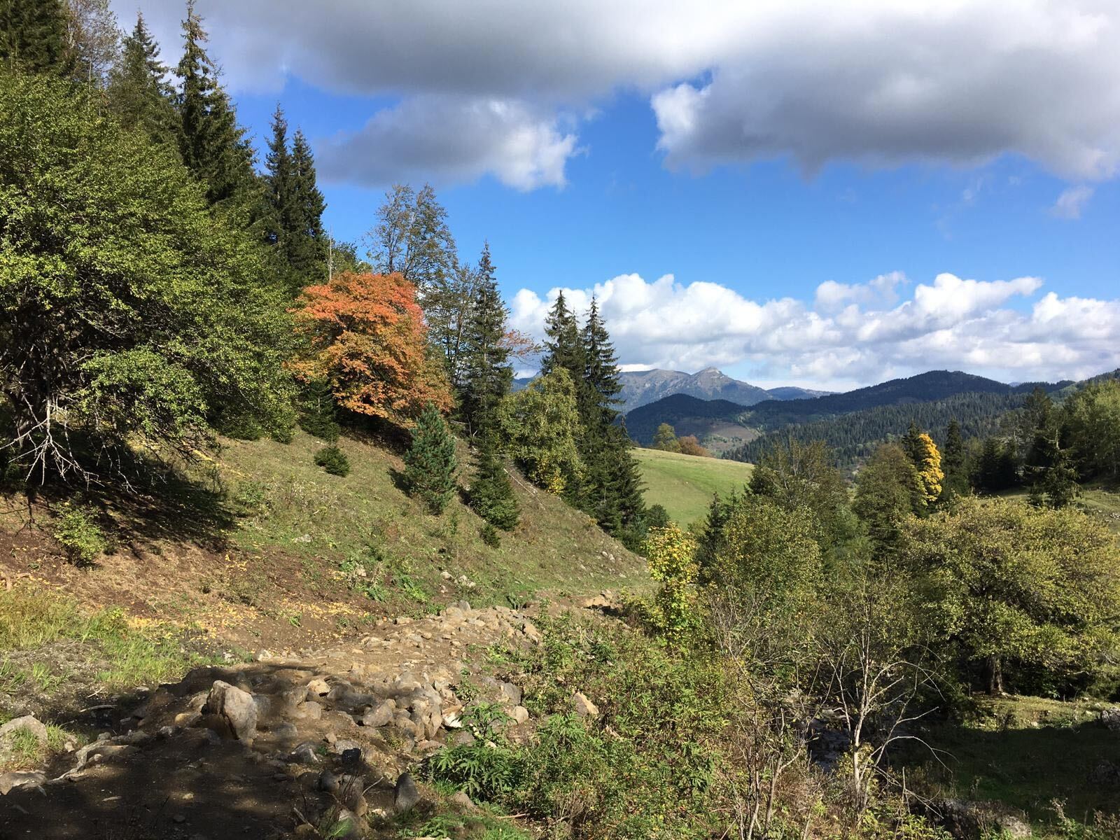
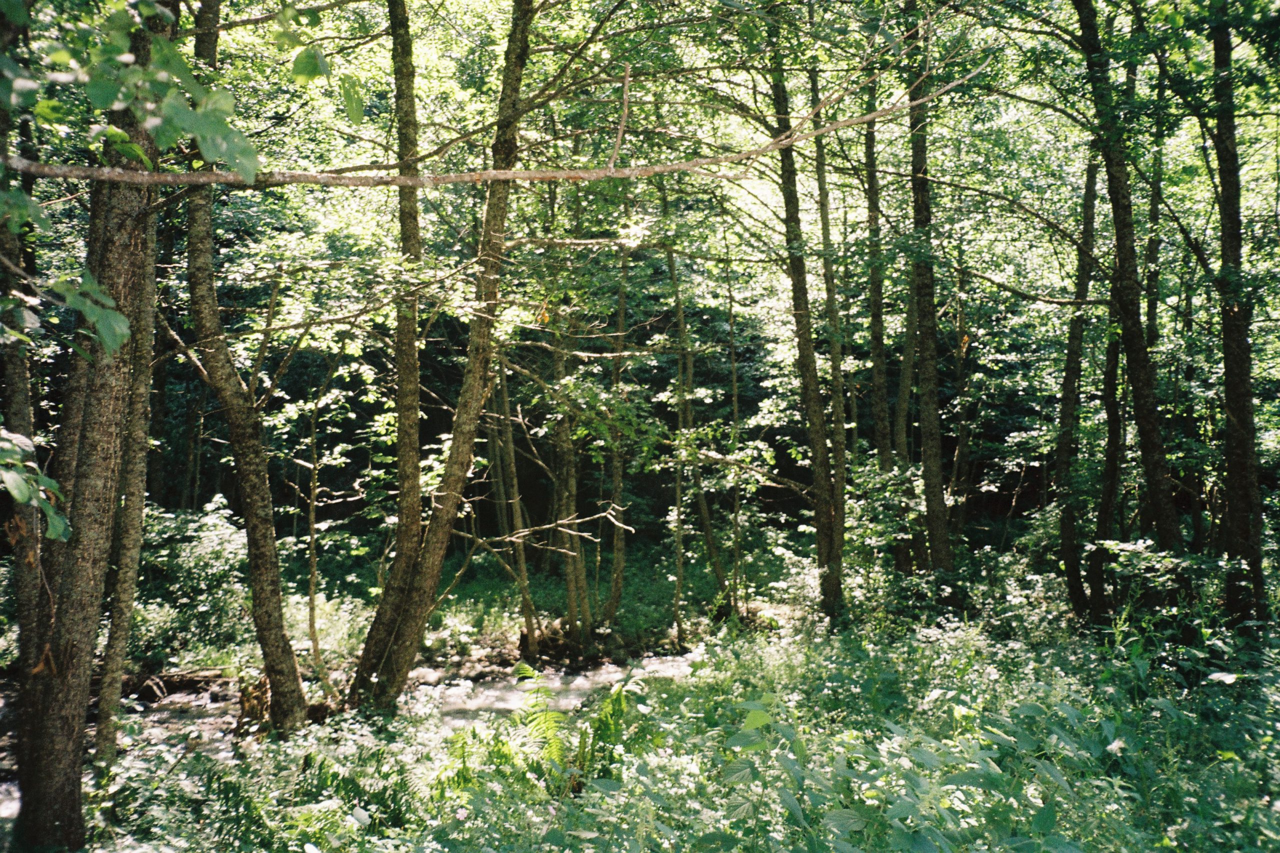
This stage covers the major landscape transition of the whole route: open volcanic plateau gives way to dense forest. The trail crests a small pass on the north side of Lake Tabatskuri, then descends quickly into the forested terrain that defines the rest of the route. The descent follows a river toward Didi Mitarbi, part of the Bakuriani ski area, where a road connects to the town of Bakuriani as a side trip.
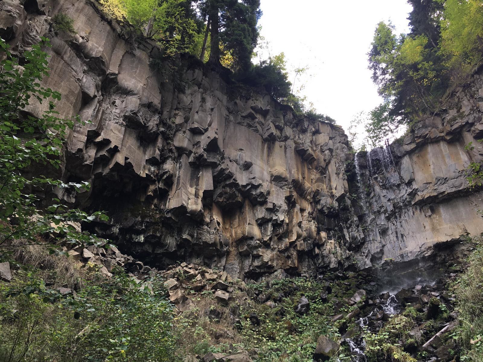
Continuing along the main route, the trail follows a Jeep track along the river to Patara Mitarbi, then veers west. Between Patara Mitarbi and the main Borjomi valley road, the route passes a waterfall. The main road crossing is a useful access point for hikers starting or ending mid-stage, although there is little traffic on the road. North of the road, the trail climbs lightly on smaller paths into Nedzvi Managed Reserve.
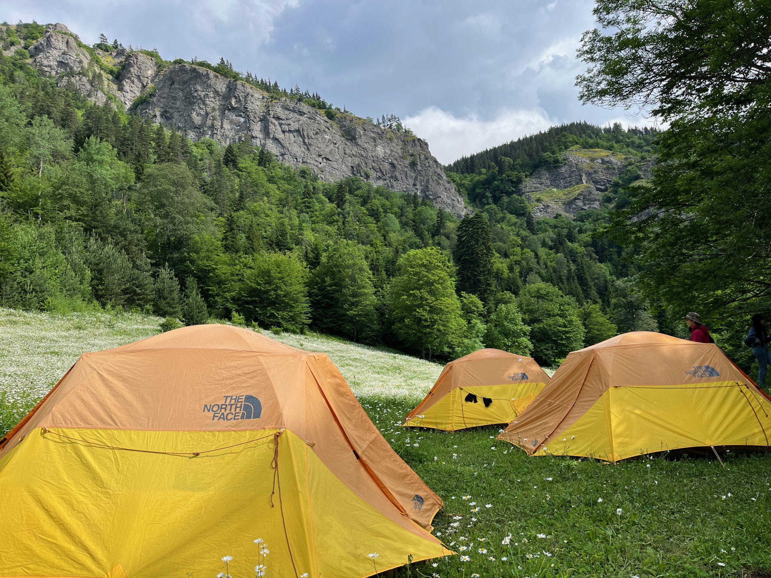
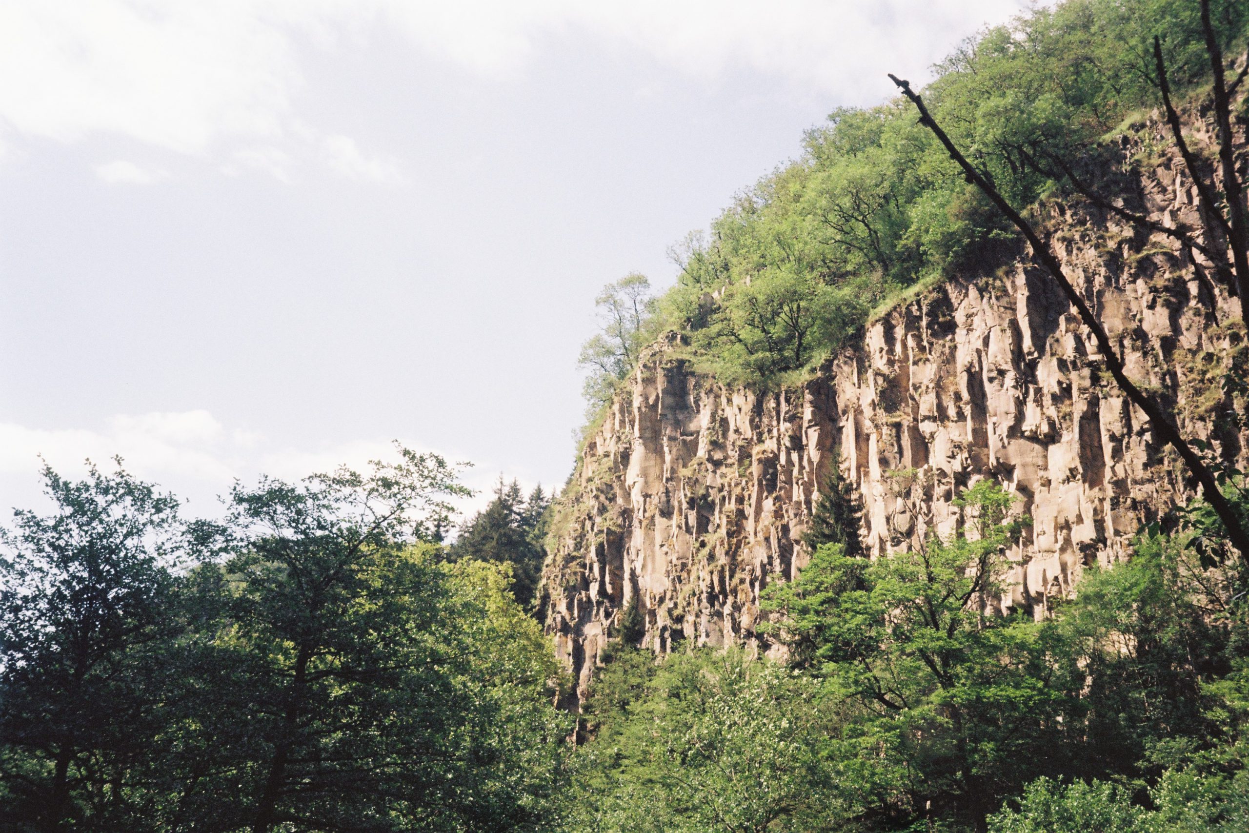
The stage ends at a campsite tucked into a cliff-rimmed section of the valley with a small stream for water.
Quick Facts
- Distance
- 24.66 km
- Elevation range
- 1,111m to 2,233m
- Elevation gain (south to north)
- +615m / −1,280m
Northbound Elevation Profile

Trail Conditions
The stage starts on open terrain north of Lake Tabatskuri and transitions into forest quickly after the pass. From the descent into Didi Mitarbi onward, the trail follows Jeep tracks, smaller forest paths, and occasional pavement.
The endpoint of this section begins one of the more recently reopened stretches of the route. TCT crews cleared and reopened the trail between the main road and Nedzvi Reserve between 2022 and 2023, working on an old path that had become heavily overgrown.
This section is mostly unmarked. Use GPS for navigation.
Water
Water sources are reliable on this stage. The route passes a few piped springs and intersects some streams. The stage ends at a campsite with a small stream. Filter all surface water.
Trail Access
Several points along this stage are accessible via 4×4, but you’re unlikely to see vehicles outside the populated valley sections. If you need to leave the trail for any reason, Bakuriani is your best and easiest bet, since it has actual transport links onward toward Borjomi. The main Borjomi valley road crossing between Patara Mitarbi and Nedzvi Reserve is also a strong, easily reachable access point, although there is little traffic on the route.
Trail Amenities
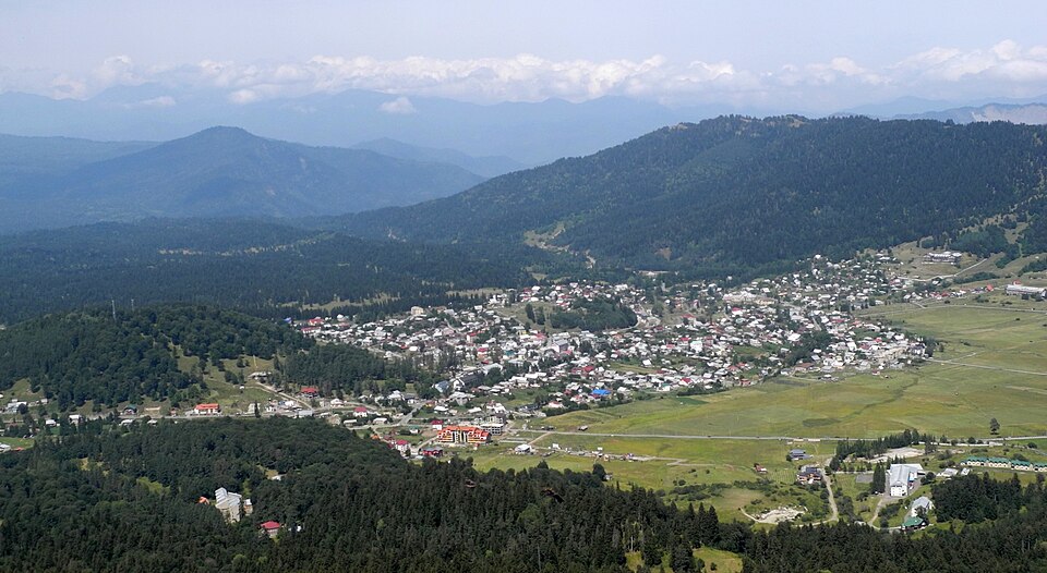
A side trail from Didi Mitarbi leads roughly 5km to Bakuriani, which has multiple guesthouses, supermarkets, a pharmacy, and a medical center. This is the best resupply or rest-day option on the northern half of the route. See Practical Information (Where to Stay and Supplies) and Alternate Routes for details.
Between Tabatskuri and the end of the stage, there are no shops, shelters, or services along the trail itself.
Navigational Notes
The descent from the pass into the forest is straightforward by sight in clear weather. Through the forest sections, the trail is generally easy to follow on visible paths and Jeep tracks. The route is unmarked, however, so plan to navigate by GPS.
Side Trails
Bakuriani side trip — a side trail at Didi Mitarbi leads roughly 5km to the town of Bakuriani. Useful for resupply, a guesthouse night, or a rest day. Bakuriani also works as a start or end point for section hikers who only want to walk the Javakheti portion of the route. Marshrutkas run regularly between Bakuriani and Borjomi.
Hazards
In summer, expect encounters with seasonal shepherd camps and their livestock guardian dogs. We’ve heard reports of hikers having incidents with particularly aggressive dogs at a shepherd camp on the south side of the pass north of Lake Tabatskuri, so approach with caution. Review the dog protocol in the Hazards section before this stage. Carry trekking poles.
Giant hogweed becomes a concern in the forested sections of this stage, particularly along disturbed ground near tracks, the river, and roads. Learn to identify the plant before you hike (see Hazards) and avoid contact with the sap.
Ticks can also be present in the forest. Check yourself daily.
Trailmaker’s Notes
TCT crews stayed at the Nedzvi Reserve campsite, the endpoint of this section, for multiple hitches between 2022 and 2023 while they worked to clear the old trail north of the campsite. It’s one of our favorite campsites along the TCT!