
The following notes describe what you’ll encounter along the trail. They’re written in the direction of travel from south to north, but the stage can be hiked in either direction.
Stage Overview
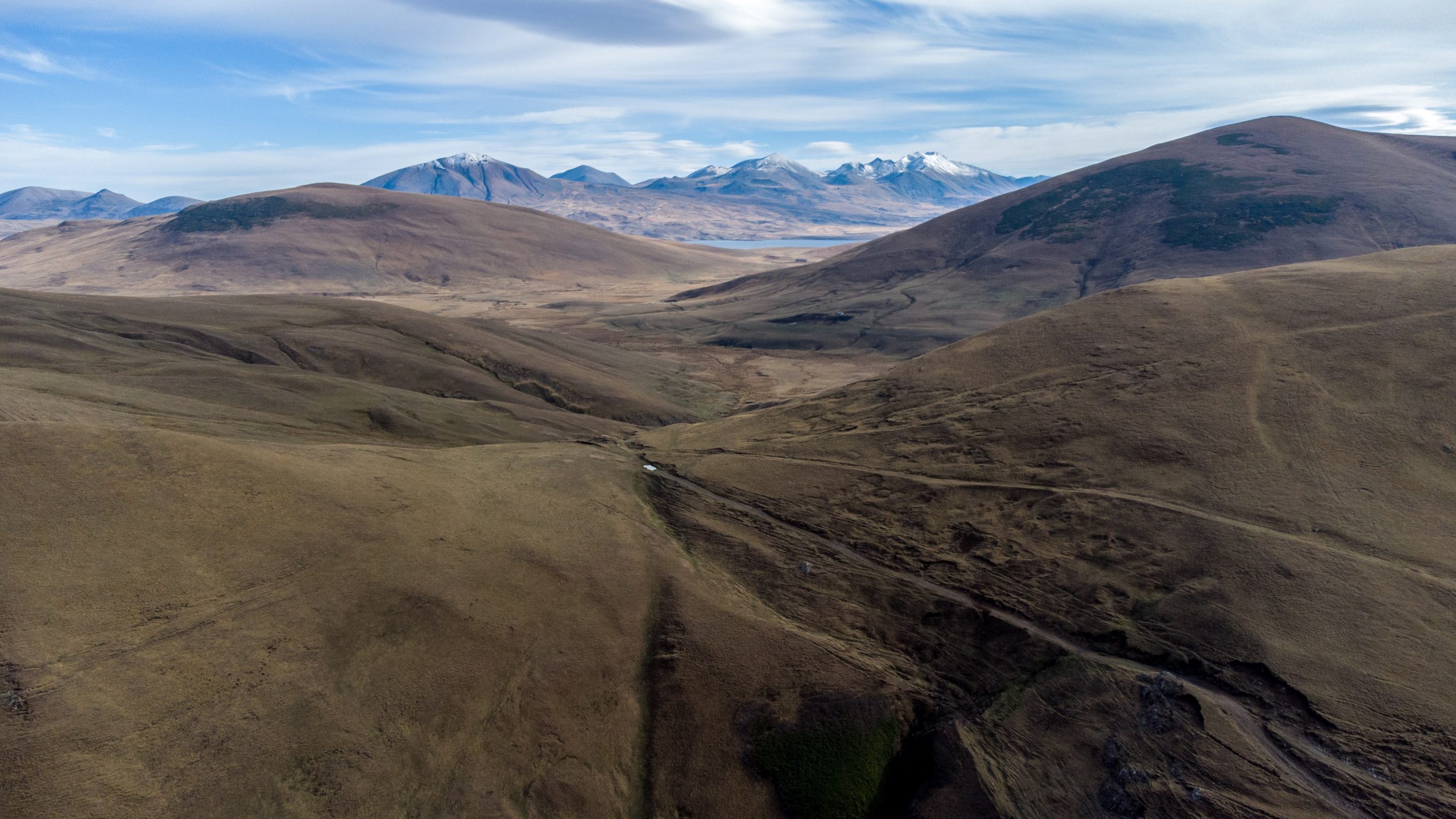
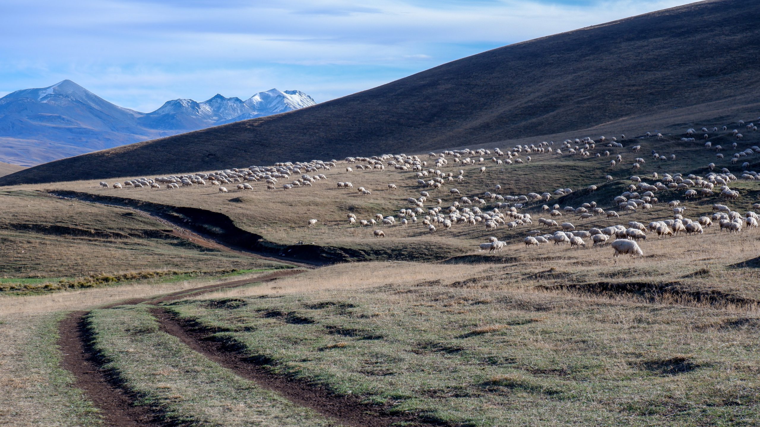
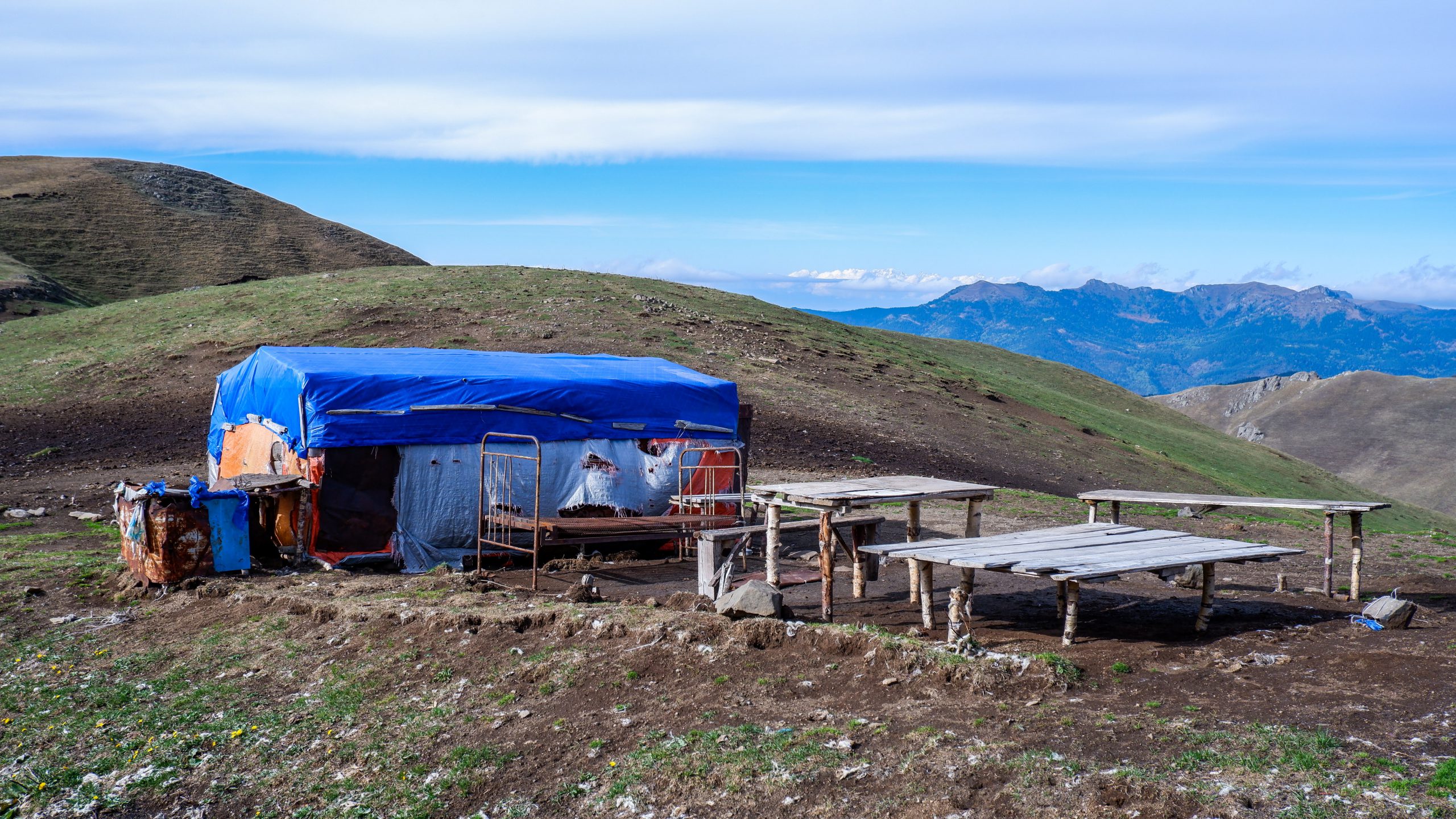
This stage is a long, gradual descent from the high terrain of the Samsari Caldera down to Lake Tabatskuri. The trail crosses mostly open terrain and Jeep tracks throughout, with steady but moderate elevation loss. Between the caldera and the lake, you’ll likely pass several seasonal shepherding camps and their flocks.
The mapped track ends at a campsite on the shore of Lake Tabatskuri. The adjacent village of Tabatskuri, with guesthouses and a small shop, sits a short additional distance from the campsite.
Quick Facts
- Distance
- 22.54 km
- Elevation range
- 1,994m to 2,728m
- Elevation gain (south to north)
- +247m / −972m
Northbound Elevation Profile

Trail Conditions
Mostly open terrain and Jeep tracks for the full stage. Footing is generally good. North of Samsari Pass (covered on the previous stage), the route is unmarked, so navigate primarily by GPS and the visible Jeep tracks.
Expect to encounter some shepherds and their flocks in summer, but few other hikers.
Water
Water sources include the lake on the Samsari Caldera floor at the start of the stage and Lake Tabatskuri at the end. Between the two, there is one small lake, located roughly at kilometer 12, but even this can dry up by the end of summer. Later in the season, we recommend carrying all the water you need for the day. Filter all surface water.
Trail Access
Most points along this stage are accessible via 4×4, but you’re unlikely to see any vehicles. Tabatskuri village has no public transportation (to the best of our current knowledge), but hitchhiking or arranging a local taxi should be possible.
Trail Amenities
There are no shops, shelters, or services between the caldera and Lake Tabatskuri. At the lake, the campsite is the formal endpoint of the stage. Tabatskuri village, a short distance further, has multiple family-run guesthouses and a small market with limited supplies. See Practical Information (Where to Stay and Supplies) for more.
Navigational Notes
Open terrain and visible Jeep tracks make navigation straightforward in clear weather. In fog, the landscape goes featureless — keep your GPX track loaded and a compass accessible. This stage is mostly unmarked, so do not rely on blazes.
Hazards
In summer, expect encounters with seasonal shepherd camps and their livestock guardian dogs. We’ve heard reports of hikers having incidents with particularly aggressive dogs near Tabatskuri, so pay close attention as you approach the village and the shepherding settlements along the way. Review the dog protocol in the Hazards section before this stage. Carry trekking poles.
Natural History
Lake Tabatskuri is the last known breeding site in Georgia for the velvet scoter, a diving duck whose populations had collapsed across the country by the 2010s. If you camp at the lake in summer, you may be sharing it with the last of them. See Background Information (Natural History) for the full story.
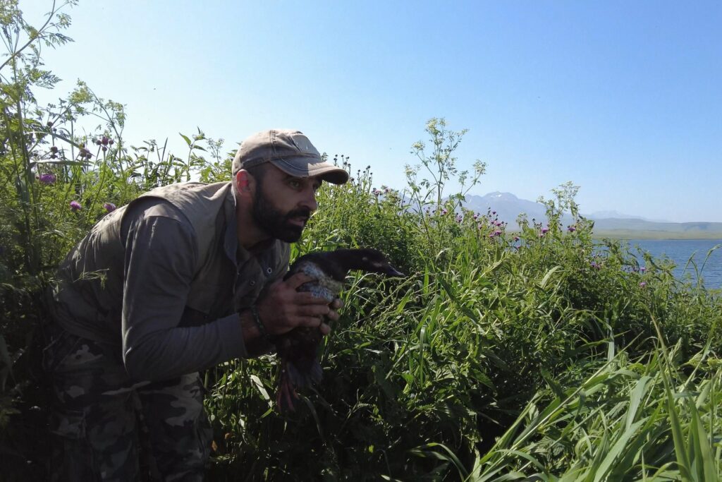
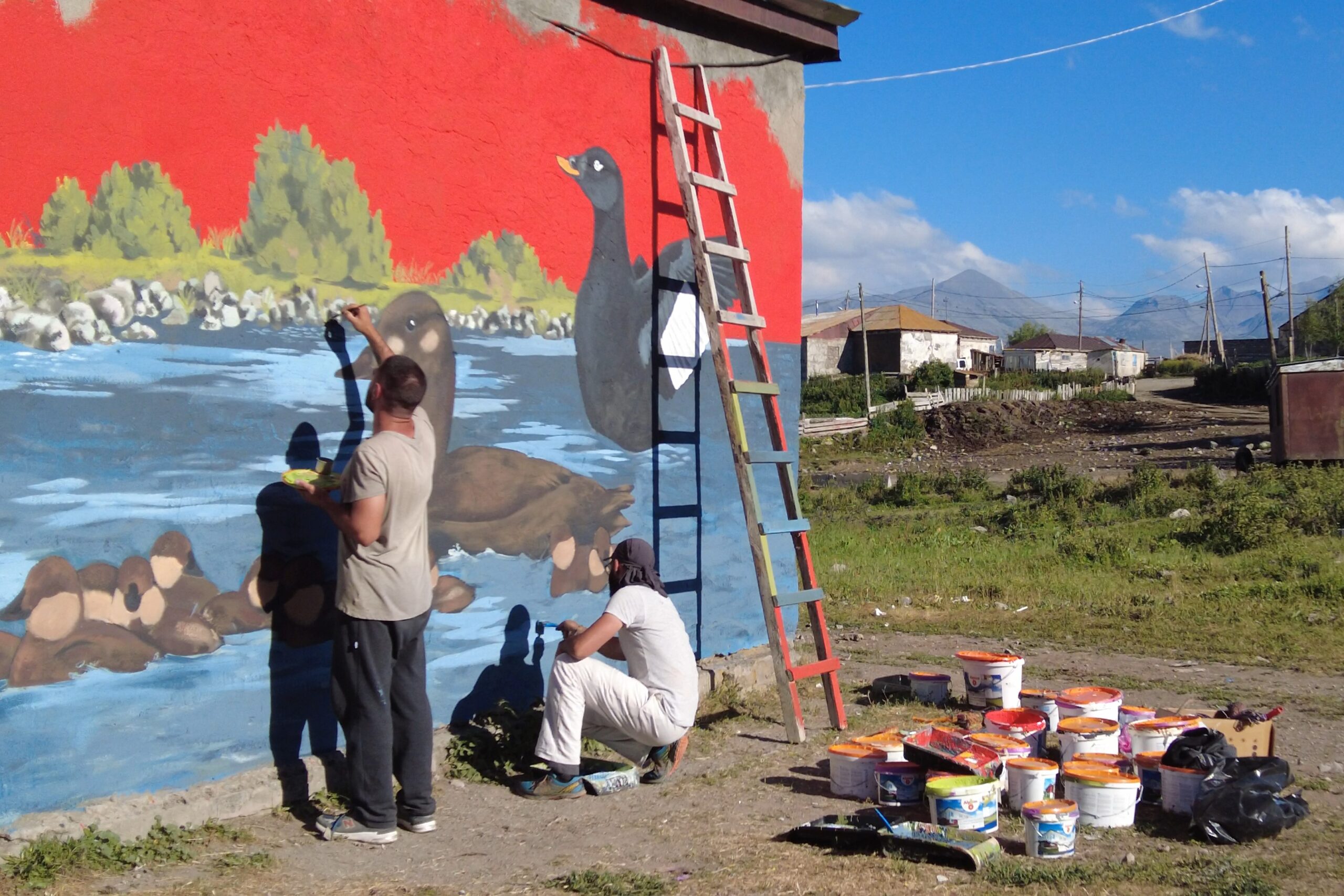
Nika Paposhvili with a rare velvet scoter (left); painting a velvet scoter mural in Tabatskuri village (right). Photos: Saxon Bosworth/OC Media.
Next: Stage 4 — Lake Tabatskuri to Nedzvi Reserve →