We’ve created a thru-hiking route across Armenia. Now, we’re putting it to the test.
For the past five years, our team has been chipping away at the monumental task of creating a 3,000-kilometer trail network across the Caucasus. It’s been slow work finding old trails, building new trails, and creating the resources necessary to help hikers have a safe and enjoyable experience. But it’s been work richly rewarded in beautiful views, tired feet, and meaningful connections.
Now, all of that work has coalesced into something big: We’re getting ready to launch the Armenia section of the Transcaucasian Trail.

Thanks to the tireless efforts of our team and partners in Armenia, and the support of volunteers and donors from around the world, we now have a nearly-complete route stretching North-South across the country.
This marks the first country section in the international TCT. The Armenia trail will connect to Georgia, eventually taking hikers all the way to the Greater Caucasus.
Stretching 832 kilometers from Lake Arpi in the north to the town of Meghri in the south, the Armenia route is part ancient trails, part newly built trails, part Soviet jeep tracks, and part open terrain. It incorporates historic routes between villages and cultural monuments that have been explored and mapped by our team in Armenia, as well as newly constructed trails that connect these historic routes together.
Together, it’s a preliminary route that experienced and self-sufficient hikers should be able to use to traverse the length of Armenia.
We think it’s close to being ready to use. So now, we’re going to put the route to the test ourselves. After all– we need to walk the talk!
We want to show you what we’ve built– and, if all goes well, to put the final pieces together to give you everything you need to hike it next year.

We’ve put together a small team to test the route, including representatives from the Transcaucasian Trail Association, the TCT NGO of Armenia, the TCT NGO of Georgia, and the wide network of hikers and partner organizations who have helped bring the trail to life.
Three of us– Tom Allen, Roffi Petrossian, and myself, Meagan Neal– are aiming to thru-hike the whole route. Along the way, we’ll be joined at various points by other members of the TCT community.
We’ll be taking notes, adding waypoints, and making route adjustments as necessary in order to get the route ready to release to the public.
And we’ll be sharing the story of the journey along the way, giving you a window into the different stages of the trail and what it’s like to walk across Armenia.

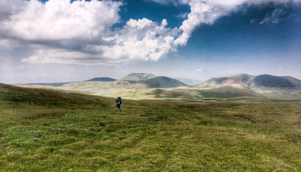
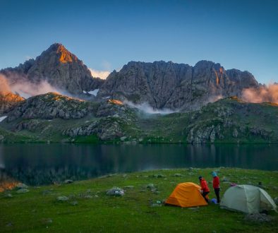
Today at Lake Arpi, we’re starting 40 days of self-supported hiking. From there we’ll head south through some of Armenia’s most spectacular cultural and natural landscapes. We’ll travel through 6 regions of Armenia, walking an average of 25km a day and camping along the way.
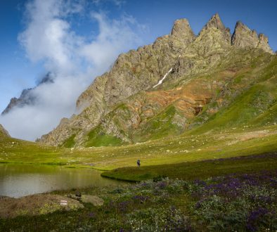
We’ll climb some of Armenia’s most iconic peaks, including Azhdahak and Khustup. We’ll walk beside the gorgeous lakes of Arpi and Sevan. We’ll explore the national parks of Dilijan and Arevi and the canyons and gorges of Dzoraget and Debed. We’ll visit the dramatically positioned Noravank and Tatev monasteries, pass through the Yeghegis and Arax valleys, and follow the Arpa and Vorotan rivers. And we’ll conclude the journey in Meghri, Armenia’s southern gateway.
We invite you to virtually walk with us, to see the landscapes evolve as we traverse the country from north to south and meet the people we encounter along the way.
You’ll find regular live updates from the trail on our social media channels (Facebook, Instagram, and Twitter) and with the hashtag #thruhikearmenia.
We want to show you not only what we’ve built over the past 5 years, but also why we did it– the vast beauty, diversity, and hospitality that make Armenia such a great place to hike.

We’re thrilled to be taking this step forward in our mission of connecting the Caucasus. We want to say a huge thank you to the volunteers, donors, and partners who have made this route possible. Just like in a very long trek itself, over time, it’s each small step of support that allows us to cover a great distance.
And if you’d like to be part of taking a few more steps, we’re fundraising this summer to make more connections like this possible across the region. If the idea of the trail has resonated with you, we invite you to join the community of supporters that has made it a reality here.

Lastly, we hope you’ll enjoy seeing the trail through our eyes, and we hope it inspires you to plan your next trip along the TCT.
In the meantime: Wish us luck, speed, and not too many blisters.
We’ll see you on the trail!
Fall 2021 post-hike-update: the route was a great success! You can see more of the trail that we documented along the way on our Instagram and Facebook. We hope you enjoyed sharing the journey with us. We’re now busy getting the route and resources ready to share with next summer’s hikers. Stay tuned!


July 28, 2021 @ 11:51 am
Hope you are well. How did it go?