On This Page
Geographic Region
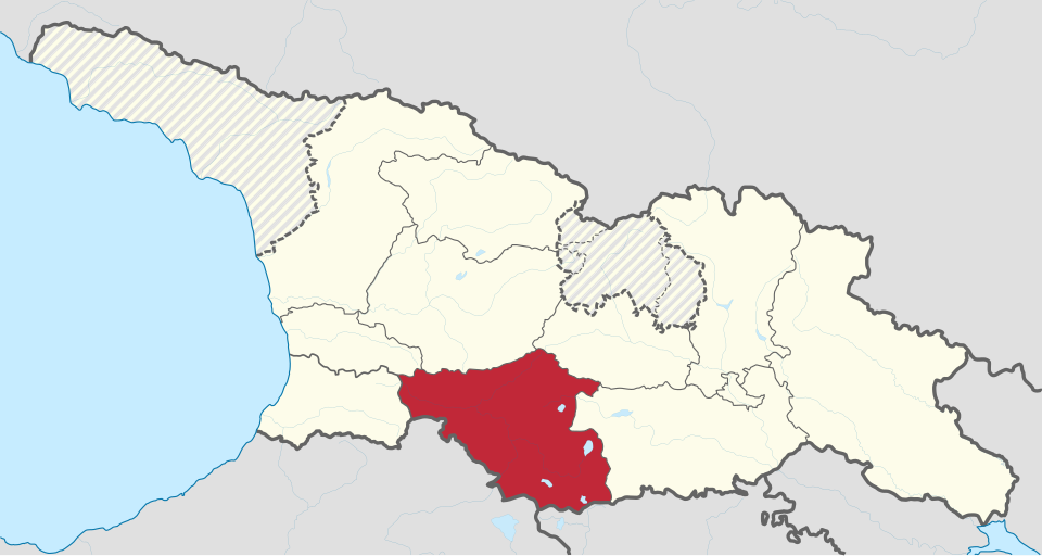
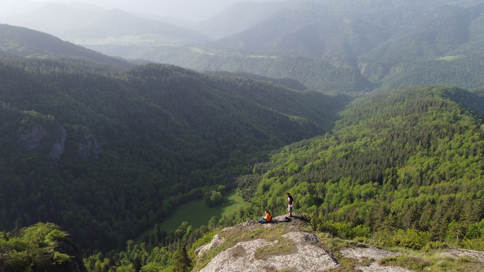
Samtskhe-Javakheti sits in the south of the country along the borders with Armenia and Turkey, and provides some of Georgia’s most fascinating ethnic diversity and historical crossroads. The administrative region of Samtskhe-Javakheti is actually the combination of three historical Georgian provinces (Meskheti, Javakheti, and Tori), merged in 1995. Each of those regions has its own distinct geographical character: Tori, the area around present-day Borjomi, is lush and forested; Meskheti is defined by its deep gorges and historical sites; and Javakheti, the high volcanic plateau to the south, feels the most remote. Javakheti is the region that this stage of the trail crosses for most of its length.
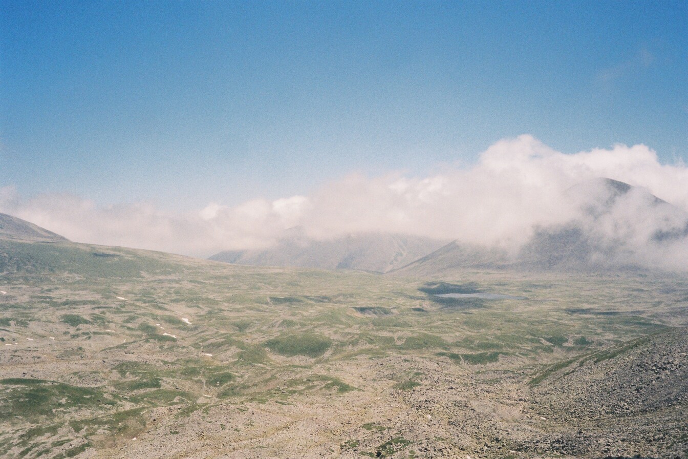
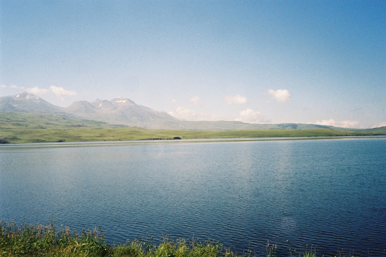
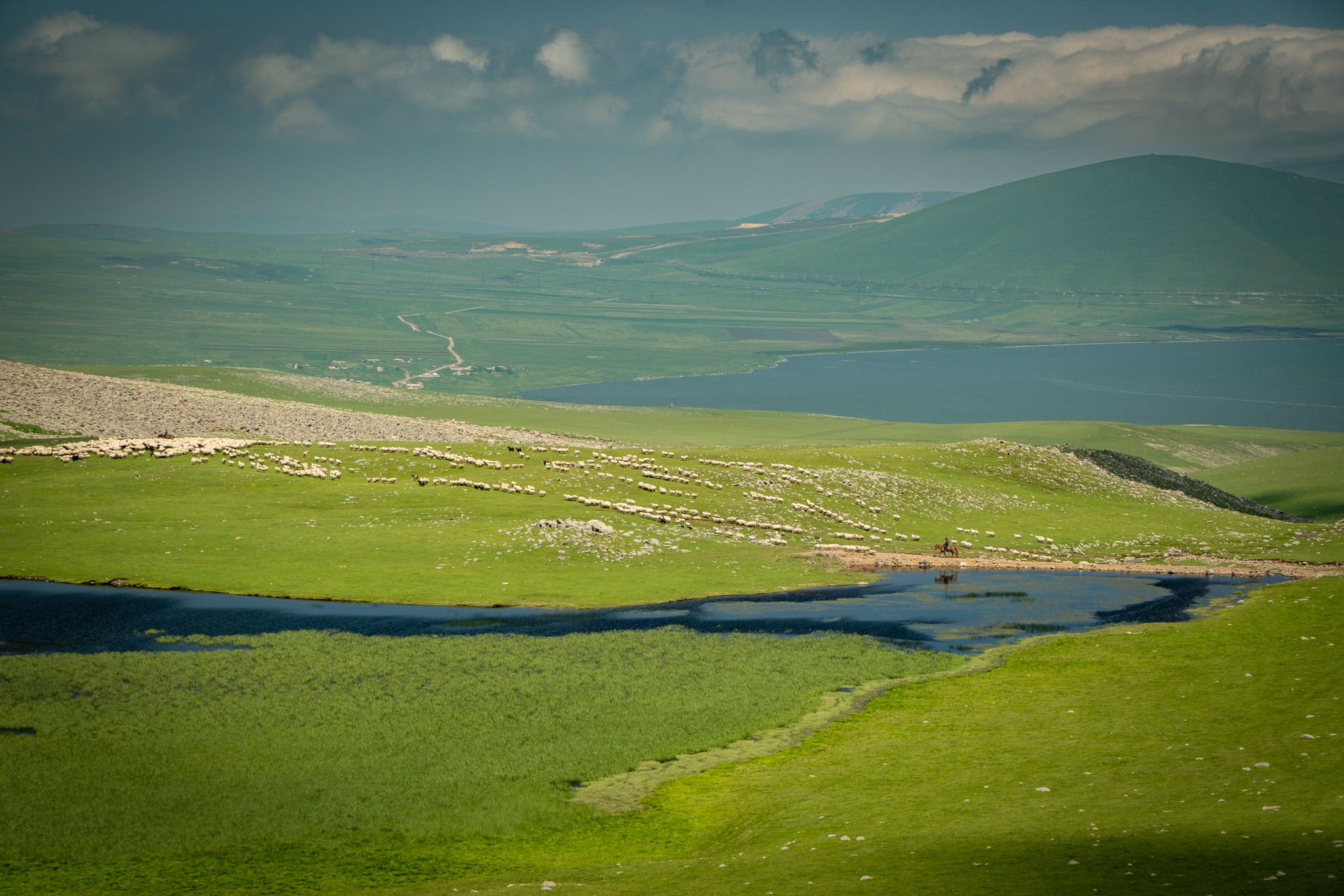
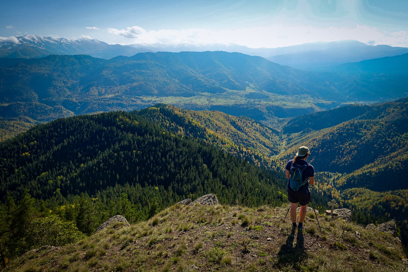
The Javakheti Plateau is the northern geographic extension of the Armenian Highlands, with plains sitting between 1,500 and 2,000 meters above sea level. The region is hemmed in by mountain ranges on most sides: the Meskheti and Trialeti ranges to the north, the Samsari and Javakheti ranges to the east. The plateau holds some of Georgia’s largest lakes, including Paravani, Tabatskuri, Khanchali, and Kartsakhi, most of them volcanic in origin. The Mtkvari, Georgia’s largest river, enters the region from Turkey and carves a canyon through the highlands on its way north.
The transition between Javakheti and Tori happens roughly at Samsari Pass. South of the pass, you’re walking the open volcanic plateau; north of it, you descend into the forested Tori basin and toward Borjomi.
Natural History
Geology
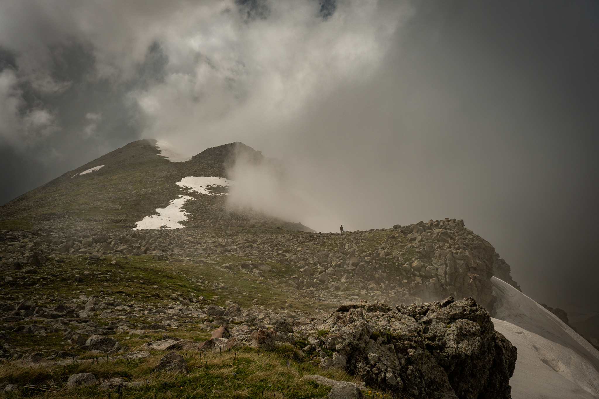
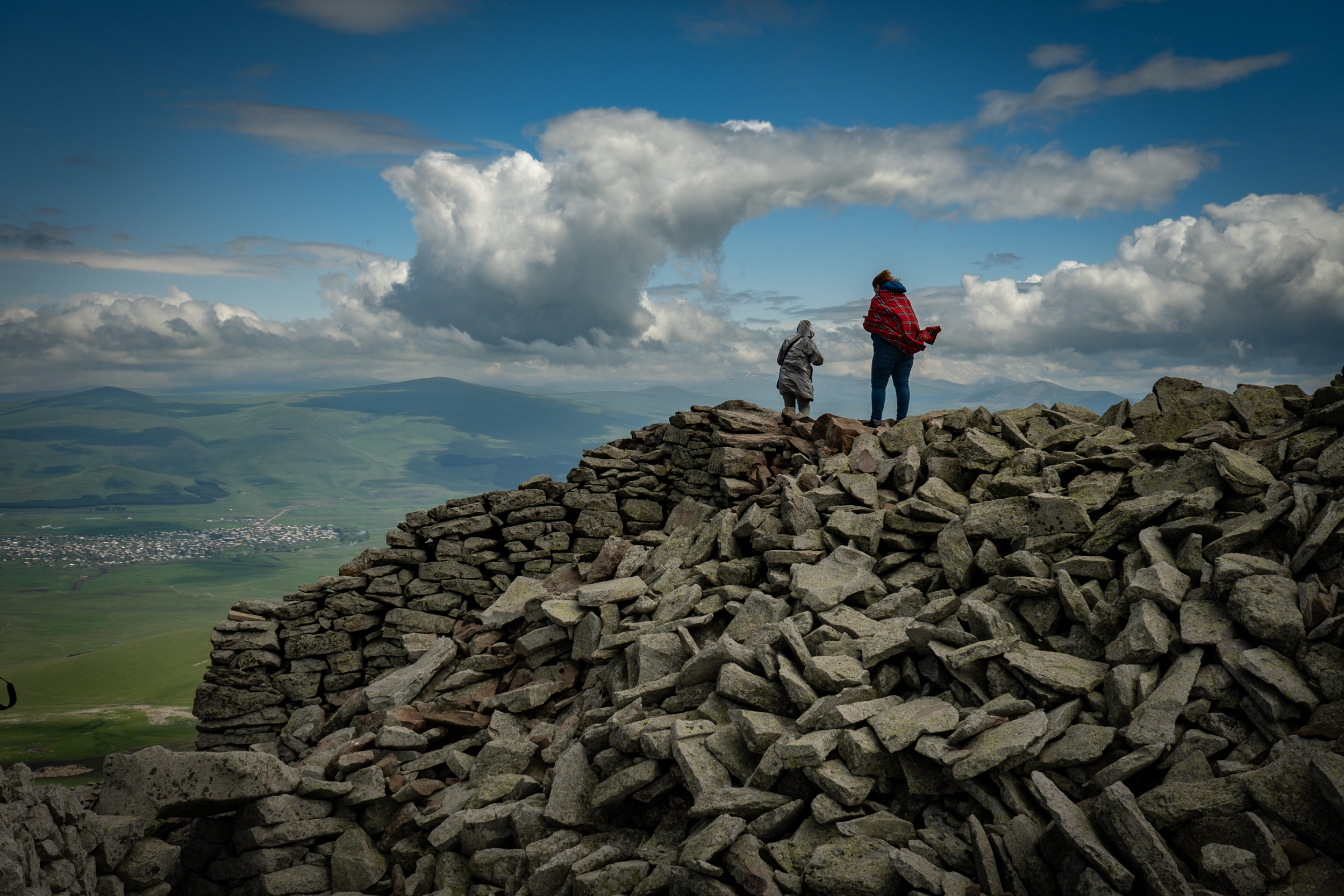
The Javakheti Plateau is a volcanic landscape, and the Abul-Samsari Range that runs through it contains more than 20 volcanic edifices stretched along a 40km north-to-south spine. Didi Abuli, the highest peak at 3,301m, is an extinct stratovolcano.
The Samsari caldera, which the main route passes after the pass, is the standout feature. A caldera is a large, cauldron-like depression that forms when a volcano erupts catastrophically and empties the magma chamber beneath it. With the chamber drained, its walls and ceiling can no longer support the weight of the rock above, and the ground collapses inward, leaving a circular sinkhole bounded by the ring-shaped remnants of the original mountain. Samsari’s caldera is about 3km across. Its floor holds rocks from the last eruption, glacial debris, and small lakes; the rim shows cirques carved by Ice Age glaciers. The alpine lakes along the route are mostly volcanic in origin, sitting in basins dammed by lava or carved by the same fault systems that built the cones.
Flora
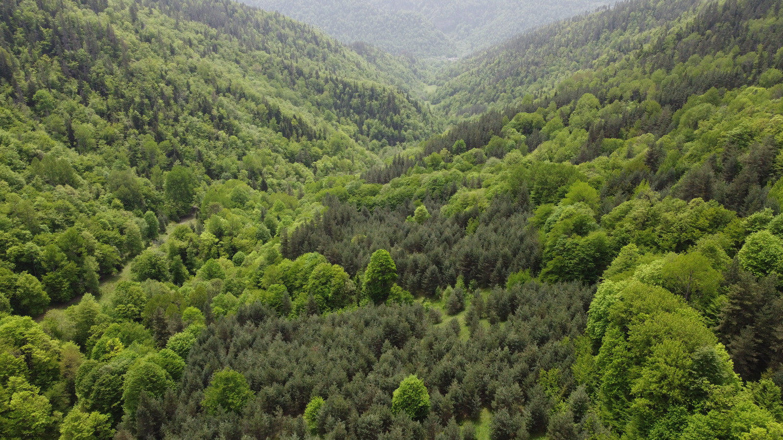
Two ecosystems sit on either side of the pass north of Lake Tabatskuri, with almost no transition between them. South of the pass, the landscape is alpine and subalpine grassland, with meadows, wetlands, low shrubs, and wildflowers across the open plateau. North of the pass, the descent toward Bakuriani and Borjomi-Kharagauli drops into dense mixed forest of oak, beech, pine, and fir, with old-growth stands centuries old inside the national park.
Fauna
The Javakheti lakes are major waterfowl habitat, with breeding and migratory populations of Dalmatian pelicans, Egyptian vultures, eagles, and seasonally flamingos across the broader wetlands system.
Lake Tabatskuri is the last known breeding site in Georgia for the velvet scoter, a diving duck that had effectively disappeared from the country by the 2010s. The population there has been brought back from the edge by Georgian ornithologist Nika Paposhvili, who has worked the lake every summer for over a decade. The full story is worth reading at OC Media. If you camp at Tabatskuri in summer, you may be sharing the lake with the last of them.
The forests of Borjomi-Kharagauli hold brown bears, red deer, lynx, wild boar, and marten among the mammals, with golden eagle and Caucasian black grouse among the more notable birds.
Livestock and the Working Landscape
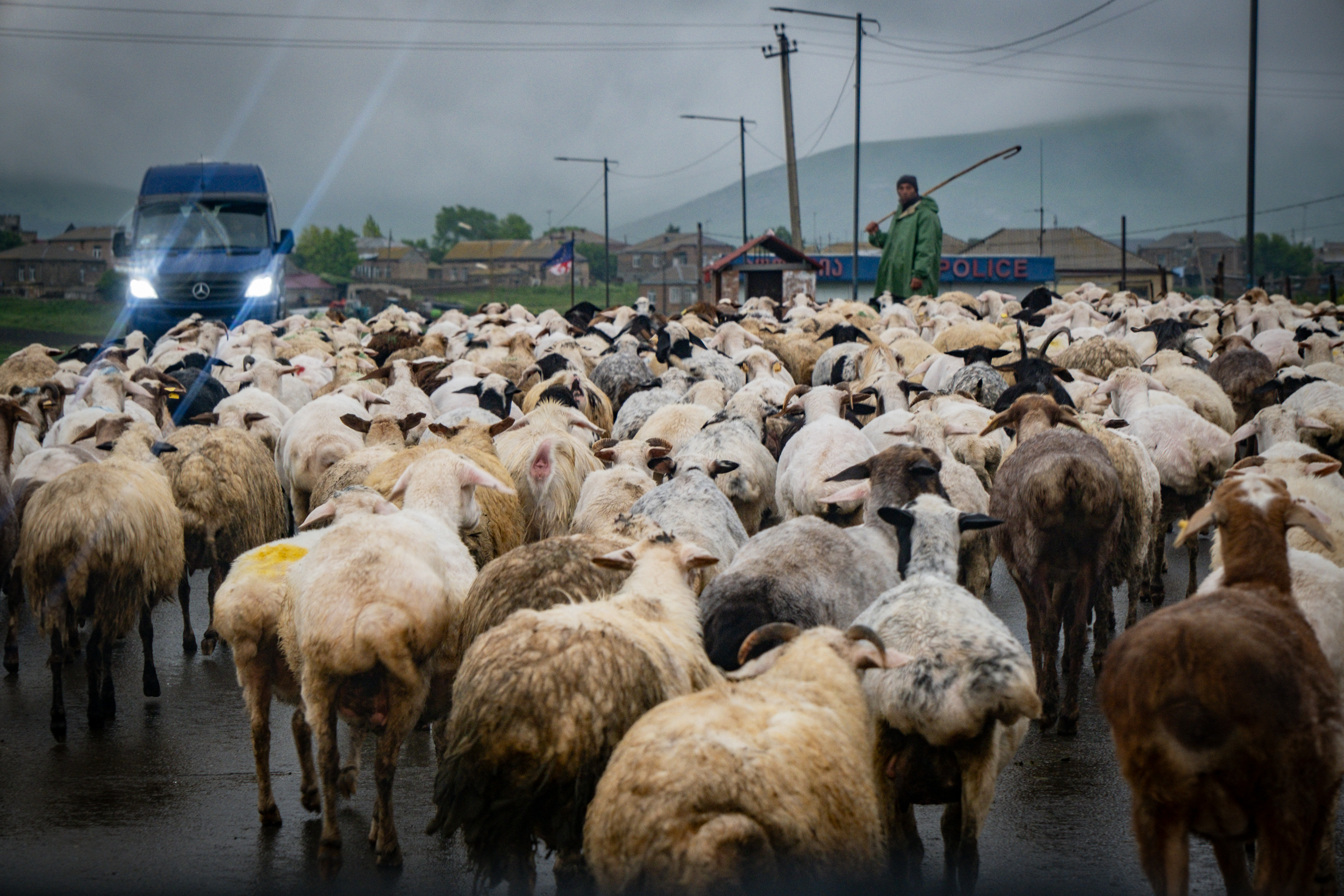
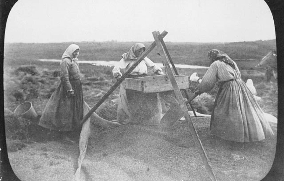
The Javakheti Plateau is heavily grazed in summer by sheep and cattle. You’re walking through a working pastoral landscape, not a wilderness, and that shapes everything from the plant communities to the water quality to the presence of livestock guardian dogs.
History
Samtskhe-Javakheti is one of the oldest inhabited parts of Georgia. People have lived here since the Bronze Age, and what’s striking about the region’s history is how much of it is still visible, built into the hillsides you walk past and the towns at either end of this stage.
The earliest evidence is perhaps the most dramatic. The volcanic plateau holds a scattering of cyclopean fortresses — megalithic structures built from large basalt blocks, assembled without any mortar — dated to around the 2nd millennium BC. Abuli Fortress, perched at 2,670m on the southern slope of Patara Abuli mountain, is a short detour from the main trail and worth every step. It’s a complex of walls, chambers, and concealed passages laid into the natural moraine of the mountainside, a hideout fortress that was nearly invisible from a distance, built into the stone rather than on top of it.
A second cyclopean structure, Shaori Fortress, sits at the summit of Shaori Mountain at 2,735m above Lake Paravani. Reaching it requires a short but steep detour from the lowland alternate. Shaori has never been systematically excavated, and what it was — fortress, temple, burial site — remains an open question. Its main entrance aligns precisely with the solstice sun, which suggests it may have been a place of worship rather than defense.
Lake Paravani also figures into one of the foundational stories of Georgian Christianity. When St. Nino of Cappadocia first entered Georgia in the 4th century to spread Christianity through the Kingdom, she came through Javakheti and rested at Paravani. According to tradition, it was here that she received the vision instructing her to travel north to Mtskheta and meet with the king. A monastery and nunnery at the village of Poka, on the lake’s southern shore, mark the site today, built around an 11th-century stone church. The complex is off the TCT but reachable as a detour from the lowland alternate around Paravani.
The medieval period left its mark farther north. By the Middle Ages, the area around present-day Borjomi was the province of Tori, defended by a network of forts at strategic crossroads. Three of these — Gogia, Petra, and Sali — still overlook Borjomi from the surrounding hills. Ottoman incursions depopulated much of the area between the 16th and 19th centuries, and the modern character of the region was shaped by what came after.
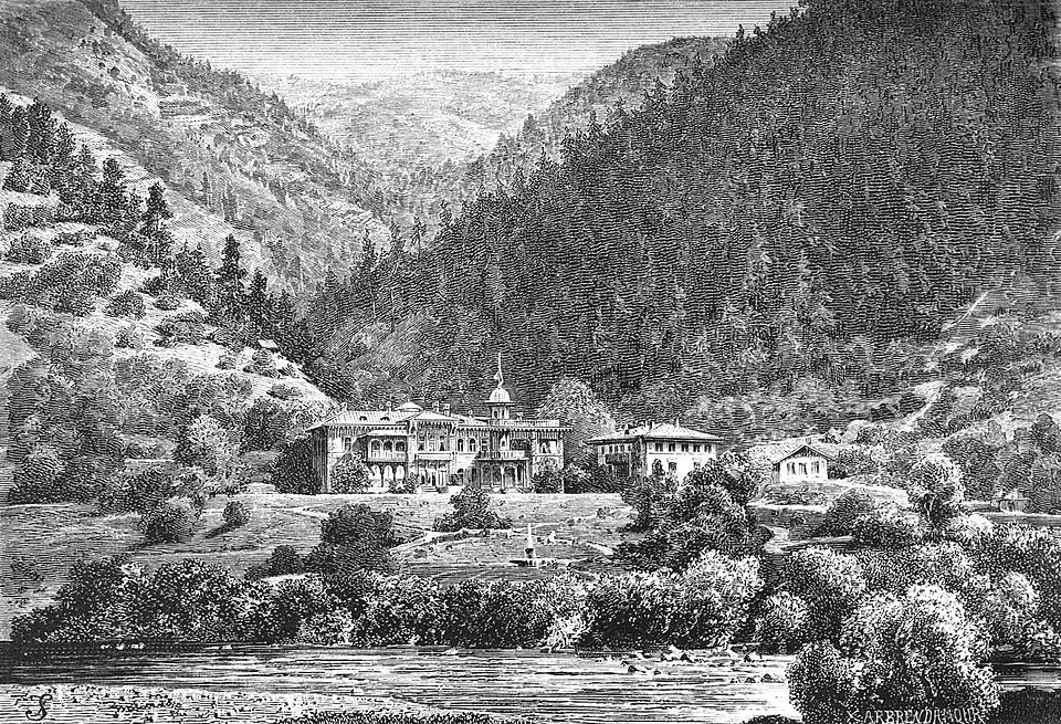
Borjomi itself owes its second life to mineral water. Russian Imperial troops officially “discovered” the springs in the 1820s, though there’s archaeological evidence the waters were used medicinally as early as the 7th century AD. The first bathhouses went up in the 1830s. By the 1870s, Borjomi was the Russian aristocracy’s preferred summer retreat — they called it the Pearl of the Caucasus. The Romanovs built a palace at nearby Likani. Bottled water exports began in 1890 and have continued ever since. During the Soviet period, Borjomi became a retreat for the Communist party elite. Aristocratic mansions seized after the Revolution were converted into sanatoria, with additional facilities built at nearby mineral springs in Libani and Tsemi.
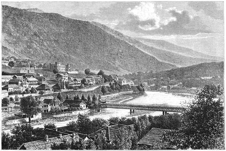
Bakuriani, the ski town reached via short detour from Didi Mitarbi, grew up alongside Borjomi as its mountain counterpart. The two were linked for over a century by the Kukushka, a narrow-gauge scenic railway that opened in 1902 and included a bridge designed by Gustave Eiffel. The line closed in 2020 and has not yet resumed.
The wilderness around Borjomi joined the historical record more recently. These forests had been hunting grounds for Georgian kings since medieval times, and the Romanov Grand Duke Michael Nikolaevich — who developed Borjomi as a summer retreat — restricted lumbering and hunting in the surrounding hills in the 19th century, an early form of protection.
After Georgian independence, the Borjomi-Kharagauli National Park was formally established in 1995 with support from WWF and the German government, and officially inaugurated in 2001. At over 85,000 hectares, it is one of the largest protected areas in Europe, and the TCT enters its eastern edge at the end of this stage.
People and Culture
Samtskhe-Javakheti has been inhabited since the Bronze Age. Its modern character, though, comes from a historical mixing and mingling of different groups arriving for a new start, whether by force or by choice. Communities of Armenians, Azerbaijanis, Pontic Greeks, Adjarians, Germans, and Doukhobors have settled across Javakheti over the past two centuries, making it one of the most culturally diverse corners of Georgia.
Under the Russian Empire, Armenians and Greeks were resettled here in the 19th century, displaced from what is now eastern Turkey by the Russo-Turkish wars. The pattern continued. In 1995, the modern region was formed by merging Meskheti and Javakheti, partly as a way to absorb families uprooted by the conflicts in Abkhazia and South Ossetia.
Today, villages south of Tabatskuri are predominantly ethnic Armenian. Ties to Armenia run deep, and trips back and forth across the border are common. Many young people from the region go to Yerevan for university rather than Tbilisi or Kutaisi, although since 2010, several of Georgia’s universities have implemented a “4+1” program that incorporates an intensive year of Georgian language before the start of traditional university to help minority groups integrate. You’ll hear Armenian in the village shops and see it in the churches that anchor each settlement.
In the highlands, the shepherds you’ll meet are often ethnic Azerbaijanis or Georgians. Most are hired hands working for flock owners rather than the owners themselves, and many migrate seasonally from the lowlands of Kakheti and Kvemo Kartli up into the Javakheti pastures each summer, returning home in autumn. Eurasianet’s photo essay on this migration is worth reading before you walk through their summer camps.
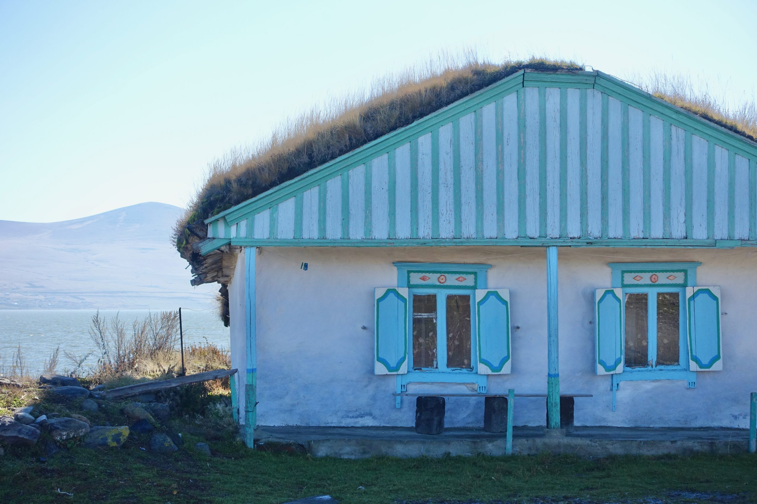
The Doukhobors are perhaps the most fascinating of the minority communities. A pacifist Christian sect exiled from central Russia, they arrived in Javakheti in the 1840s and famously burned guns as a public renunciation of violence. The community here numbered around 4,000 people before 1990, but only a handful remain, mostly in the small village of Gorelovka (which is not along the trail, but possible to access as a detour). Their villages — Gorelovka most famously, but also Tambovka, which is along the lowland alternate around Lake Paravani — are recognizable by ornate blue-and-white window frames and shutters.
The Pontic Greek community was largely centered in the small city of Tsalka, far from the trail but worth a stop on the road to Javakheti. The town’s Greek population peaked at around 100,000 in 1989, but most emigrated back to Greece in the 1990s, with only a handful of families staying. (It’s still possible to find Greek food in Tsalka, though, thanks to one of the families that did!)
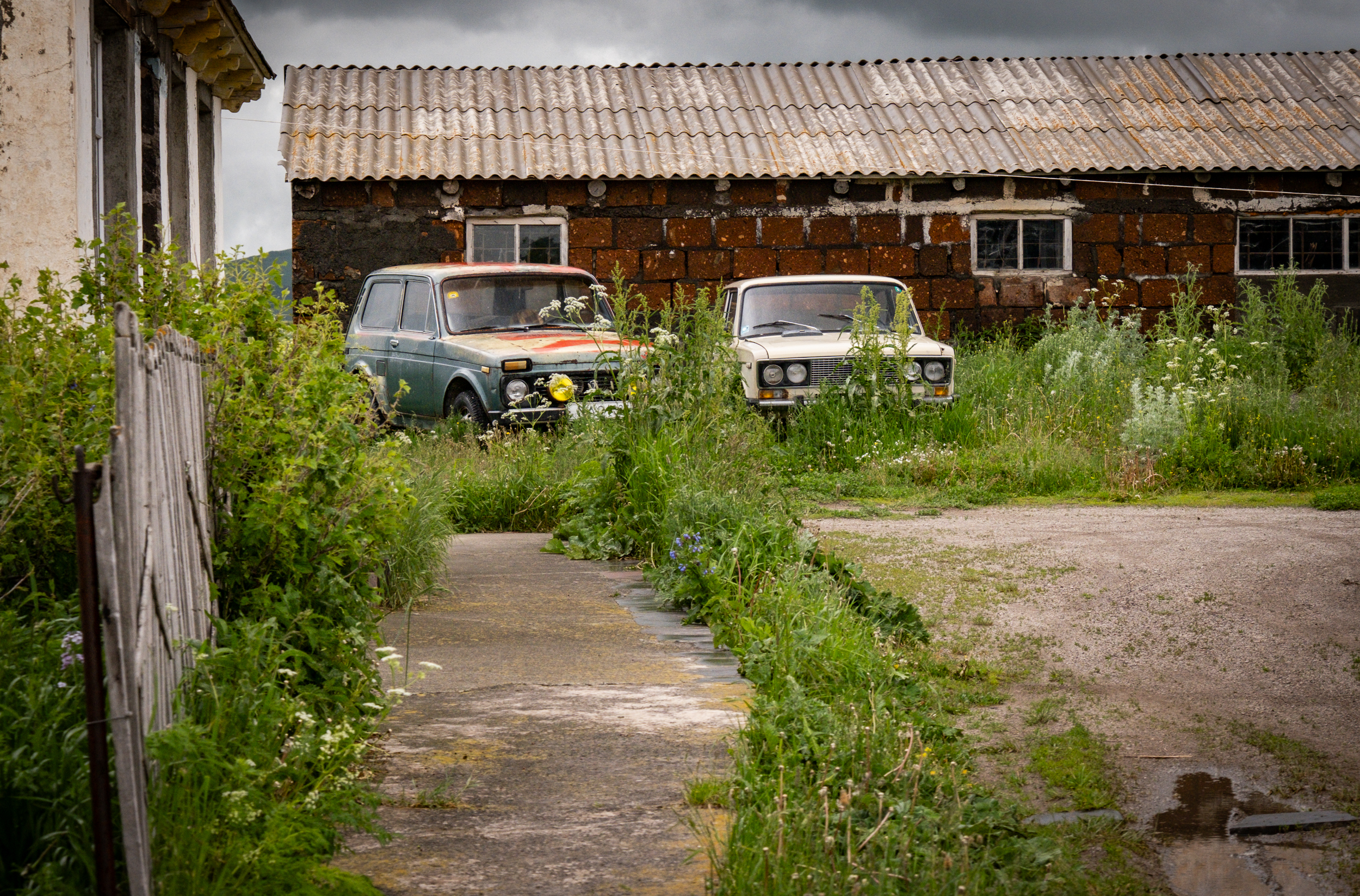
Life in these villages is not easy, and winter is extremely harsh. Government investment in infrastructure and services has been limited for decades, and depopulation is steady. OC Media’s reporting on the disappearing villages of Samtskhe-Javakheti is worth reading before you walk through them. It changes how you see the homes you pass.