Hike from Imereti to Racha: Announcing the newest section of the TCT!
We’ve got one last exciting update for you this holiday season: Our newest trail section, this time in Georgia!
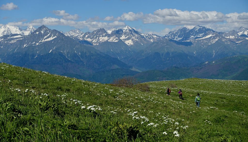
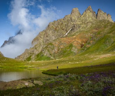
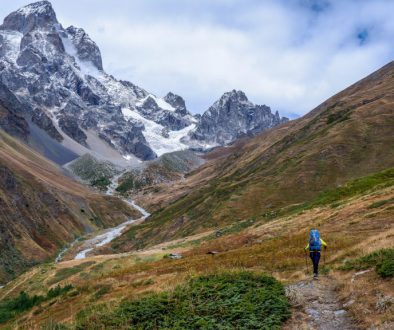
This new 74 kilometer stage of the Transcaucasian Trail weaves through pastoral valleys, thick forests, and looming alpine cliffs as it climbs from the low agricultural valleys of Imereti into the rugged high mountains of Racha in northern Georgia.
After two years of scouting, summer trail work with the help of many volunteers, and successful beta-testing by several 2022 thru-hikers, we’re thrilled to release this section and introduce more hikers to beautiful Imereti and Racha.

Overview
The trek follows a mix of old historical trails, shepherd trails, and jeep tracks, which we scouted and mapped between 2021-2022. For hikers willing to make the steep climb into Racha, it offers solitude, dramatic views, and a window into a much under-visited part of Georgia.
The highlight of the trek is a stunning 10-kilometer ridge traverse leading to the King Tamar Cliffs, which grants you sweeping views over the plains of Imereti to the south and the striking wall of the Greater Caucasus to the north.

The Process
To reach this ridge from Oni, we incorporated a historical trail winding up from the village of Korta to the dramatic King Tamar Cliffs.
This historical trail had nearly faded into overgrowth and obscurity– and it took a few tries to find a way to approach the cliffs from below at all. But in 2021, with the help of friendly folks in Korta, we were able to find and map the trail.
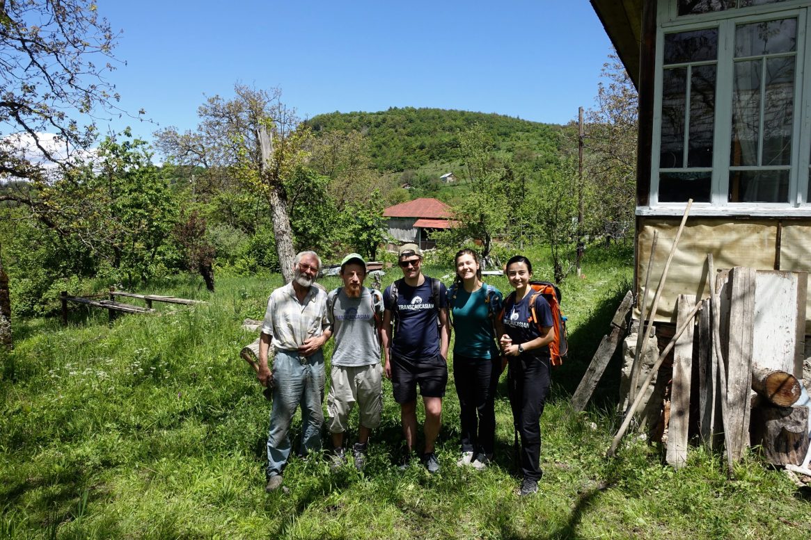
Then we went back with volunteers this summer. Working under the leadership of our new Caucasus Conservation Corps crew leaders, a mix of Georgian, Azerbaijani, and international volunteers from around the world worked hard to clear and flag the worst parts of the trail.
Thanks to their hard work– despite an extraordinarily muddy June– the trail is now open and fairly straightforward to navigate.

Trail Conditions
The route is open but unmarked. In order to hike this section, you should be prepared to navigate based on your GPS track.
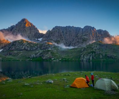
You should also be prepared for self-sufficient wild camping, steep climbs, steep descents, and occasional overgrown sections.
We’re planning to make further improvements in future years, including blazing and further trail maintenance projects.
But in the meantime, if those conditions sound like fun to you, we think you’ll love it.

Maps & Resources
As we’ve been doing with all of our more recent trail sections, we’ve put together both detailed trail notes, practical information about the region, and an interactive map on CalTopo.
This makes it easy for you to download your preference of GPX/KML tracks and to plan ahead for potential campsites and water sources.

Want to see more trail projects come to life?
We want to say a huge thank you to all the volunteers and donors who contributed to make this new section possible.
This project was supported by our Caucasus Conservation Corps project with the U.S. Forest Service, as well as– in large part– by individual hikers and Caucasus enthusiasts like you who donate to the Transcaucasian Trail Association.
Individual donations help us invest in priority areas like Imereti and Racha– where there is immense potential for ecotourism and conservation, but not as much outside attention.
If you want to support future trail development projects like this one and our work to ensure the long-term sustainability of the trail, there’s never been a better time to join as a TCTA member. Learn more and help us promote sustainable tourism in the Caucasus here!

Happy trails!
Thanks for being part of the TCT community this year. We hope you enjoy browsing through the new section, and that it helps you get out and explore this corner of the Caucasus in 2023.
We’ll look forward to seeing you in the mountains!

