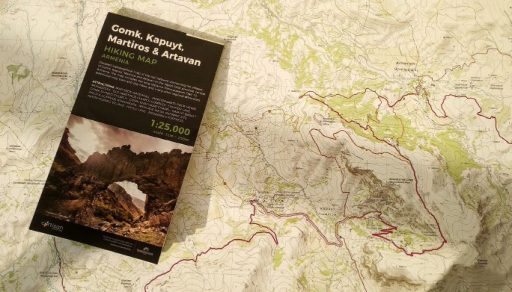
Announcing Armenia’s Newest Topo Map!
Ah, the old adage: “A good map is hard to find.” (No? Just us?) It’s particularly true in the Caucasus, where we’ve mainly resorted to satellite imagery and combing through old scans of Soviet military maps to figure out potential new routes.
So we count ourselves very lucky to have smart friends like the people at Cartisan, who (as you probably already know) have been working hard to create the first high-quality hiking maps of the Caucasus.
Why physical maps? Because even with all the fun useful apps on our phones now, paper maps remain a critical tool for safe and enjoyable hiking– especially in remote wilderness areas. After all, paper maps don’t lose signal or run out of battery.
And we’re especially pleased this week, because Cartisan has just released their second map— a gorgeous, new map on a 1:25,000 scale, which is extremely useful for navigation– and it’s one of our favorite regions: the Vayots Dzor trail network!
You can find more information and get your hands on a copy of the new map here. (They’re offering it at a 25% discount through the end of the month.) Wherever you find yourself these days, we hope it’ll provide some good ideas for future trips… and the trails will be here waiting for you!

Explore Vayots Dzor virtually with the TCT
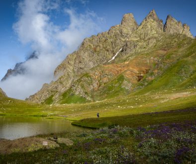
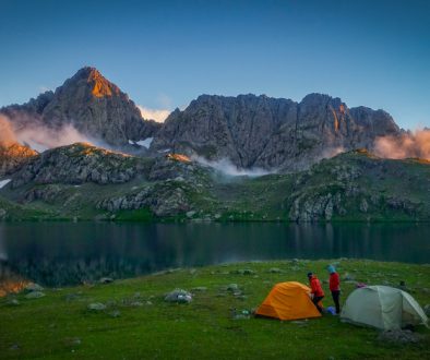
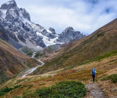
But that’s not all– we wanted to team up to show you some of the spectacular landscapes that made us want to route a large part of the TCT through Vayots Dzor and made Cartisan want to put this region… well, on the map.
So this week, join Tom, Alessandro, and some of our partners at Trails for Change for a virtual trek through Vayots Dzor! They’re putting Cartisan’s work to the test by turning off their GPS and navigating with just the map. (Of course, having a well-maintained trail network helps a lot too…)
You can join the virtual hike on our Instagram and Facebook stories, and occasionally, even vote for where they should go next.

Save the date: Upcoming virtual campfire
We’re also excited to return to our community events with another virtual campfire following the Vayots Dzor hike. Next Sunday, July 26th, Tom and Alessandro will join us on Zoom to share some footage and stories from the trek as well as their insight on what it takes to create a new topographic map… and then what it’s like to navigate with the map you’ve created. Come say hi!
Event Details:
Date: Sunday, July 26th
Time: 12pm EDT / 4pm GMT / 8pm Caucasus time
Register here on Zoom (attendance capped at 100).
Stay tuned for more updates from the field, and see you on the (virtual) trail!


